Property Record
1314 Lees Chapel Rd, Greensboro, NC 27455


Property Detail
1314 Lees Chapel Rd
0047446
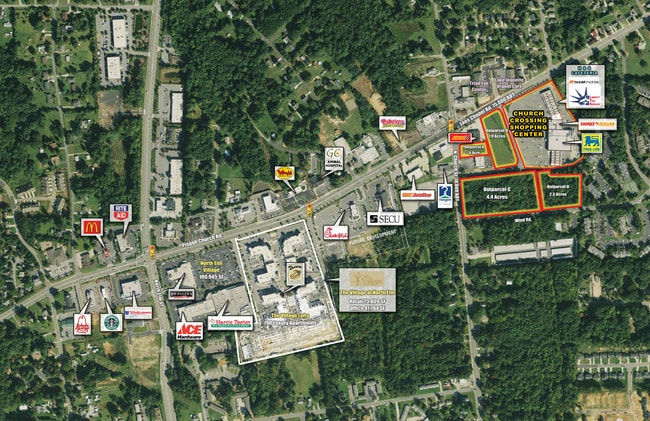
CHURCH CROSSING SHOP CR8.24AC 1 P 123-56 PL:123-56
Storebuilding
GUILFORD
C-H
North Carolina
B and X Area of moderate flood hazard, usually the area between the limits of the 100-year and 500-year floods.
16
2025
8.20 AC
2025
NE Guilford County
011904
Greensboro/Winston-Salem
66,909 SF
Greensboro-High Point, NC
NEARBY LISTINGS FOR SALE OR LEASE
DEMOGRAPHICS near 1314 Lees Chapel Rd
1 mile
3 mile
5 mile
2025 Total Population
11,467
64,878
154,020
2030 Population
11,788
66,911
159,236
Pop Growth 2025-2030
+ 2.80%
+ 3.13%
+ 3.39%
Average Age
37
40
38
2025 Total Households
4,920
27,384
61,179
HH Growth 2025-2030
+ 2.93%
+ 3.25%
+ 3.63%
Median Household Inc
$47,804
$64,936
$64,911
Avg Household Size
2.30
2.30
2.20
2025 Avg HH Vehicles
2.00
2.00
2.00
Median Home Value
$230,239
$287,696
$297,938
Median Year Built
1996
1985
1982
Nearby Places
Map Layers
Map Styles
 Street
 Aerial
Layers
 Traffic
 Biking
Places
Listings with unknown addresses are not visible on the map
- Restaurants
- Banks
- Shops
- Fitness
- Groceries
PUBLIC TRANSPORTATION
COMMUTER RAIL
Greensboro Station (Piedmont - North Carolina by Train (NC Train))
Drive
Walk
Distance
Greensboro Station (Piedmont - North Carolina by Train (NC Train))
10 min
5.2 mi
AIRPORT
Piedmont Triad International
Drive
Walk
Distance
Piedmont Triad International
21 min
12.0 mi
Freight Ports
Virginia Port Authority - Richmond
Drive
Walk
Distance
Virginia Port Authority - Richmond
232 min
201.6 mi
SALE & LEASE HISTORY
LISTING DATE
SALE/LEASE

Aug 21, 2017
For Lease
Nearby Properties
Address
Land Use
TOTAL SIZE
Lot Size
Zoning
Address
Land Use
TOTAL SIZE
Lot Size
Zoning
908,421 SF
62.30 AC
PI
Address
Land Use
TOTAL SIZE
Lot Size
Zoning
646,229 SF
25.47 AC
LI
Address
Land Use
TOTAL SIZE
Lot Size
Zoning
106,706 SF
343.57 AC
PI
Address
Land Use
TOTAL SIZE
Lot Size
Zoning
223,891 SF
10.53 AC
PUD
Address
Land Use
TOTAL SIZE
Lot Size
Zoning
281,337 SF
20.64 AC
PUD
Address
Land Use
TOTAL SIZE
Lot Size
Zoning
222,661 SF
51.39 AC
R-3
Address
Land Use
TOTAL SIZE
Lot Size
Zoning
252,109 SF
8.83 AC
PUD
Address
Land Use
TOTAL SIZE
Lot Size
Zoning
336,133 SF
23.93 AC
CU-RM-12
Address
Land Use
TOTAL SIZE
Lot Size
Zoning
171,358 SF
11.91 AC
PUD
Address
Land Use
TOTAL SIZE
Lot Size
Zoning
223,272 SF
9.91 AC
RM-26
Address
Land Use
TOTAL SIZE
Lot Size
Zoning
302,048 SF
24.45 AC
RM-12
Address
Land Use
TOTAL SIZE
Lot Size
Zoning
120,204 SF
9.82 AC
C-H
Address
Land Use
TOTAL SIZE
Lot Size
Zoning
112,050 SF
9.24 AC
LI
Address
Land Use
TOTAL SIZE
Lot Size
Zoning
138,773 SF
13.90 AC
C-H
Address
Land Use
TOTAL SIZE
Lot Size
Zoning
194,064 SF
22.83 AC
RM-12
Address
Land Use
TOTAL SIZE
Lot Size
Zoning
316,644 SF
22.31 AC
RM-12
Address
Land Use
TOTAL SIZE
Lot Size
Zoning
68,100 SF
97.08 AC
R-3
Address
Land Use
TOTAL SIZE
Lot Size
Zoning
270,848 SF
18.28 AC
RM-18
Address
Land Use
TOTAL SIZE
Lot Size
Zoning
214,583 SF
20.64 AC
C-H
Address
Land Use
TOTAL SIZE
Lot Size
Zoning
259,434 SF
23.69 AC
RM-12
Address
Land Use
TOTAL SIZE
Lot Size
Zoning
38,940 SF
19.33 AC
R-3
Address
Land Use
TOTAL SIZE
Lot Size
Zoning
168,798 SF
15.45 AC
RM-12
Address
Land Use
TOTAL SIZE
Lot Size
Zoning
236,995 SF
14.09 AC
RM-18
Address
Land Use
TOTAL SIZE
Lot Size
Zoning
204,260 SF
11.83 AC
RM-18
Address
Land Use
TOTAL SIZE
Lot Size
Zoning
99,926 SF
8.13 AC
O
Address
Land Use
TOTAL SIZE
Lot Size
Zoning
189,979 SF
44.76 AC
PI
Address
Land Use
TOTAL SIZE
Lot Size
Zoning
191,654 SF
11.31 AC
RM-12
Address
Land Use
TOTAL SIZE
Lot Size
Zoning
305,428 SF
13.72 AC
PUD
Address
Land Use
TOTAL SIZE
Lot Size
Zoning
275,083 SF
12.91 AC
RM-18
Address
Land Use
TOTAL SIZE
Lot Size
Zoning
119,780 SF
8.50 AC
PUD
The World's #1 Commercial Real Estate Marketplace
Connect with us
© 2026 CoStar Group
The information above has been obtained from sources believed reliable. While we do not doubt its accuracy we have not verified it and make no guarantee, warranty or representation about it. It is your responsibility to independently confirm its accuracy and completeness. Any projections, opinions, assumptions, or estimates used are for example only and do not represent the current or future performance of the property. The value of this transaction to you depends on tax and other factors which should be evaluated by your tax, financial, and legal advisors. You and your advisors should conduct a careful, independent investigation of the property to determine to your satisfaction the suitability of the property for your needs.