Property Record
1571 N Sanborn Rd, Salinas, CA 93905
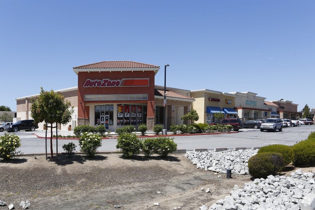

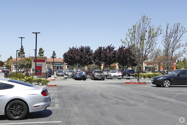
Property Detail
1571 N Sanborn Rd
Salinas, CA
PAR E AS DESC. IN VOL 22 PAR MAPS PG. 35
153-481-027-000
Monterey
Commercialbuilding
California
C and X Area of minimal flood hazard, usually depicted on FIRMs as above the 500-year flood level.
3.36 AC
2024
Salinas
2025
Salinas
010604
NEARBY LISTINGS FOR SALE OR LEASE
-
-
View all Salinas listings for lease on LoopNet.com
DEMOGRAPHICS near 1571 N Sanborn Rd
1 mile
3 mile
5 mile
2025 Total Population
23,083
93,797
164,882
2030 Population
22,749
92,574
163,263
Pop Growth 2025-2030
(1.45%)
(1.30%)
(0.98%)
Average Age
34
34
35
2025 Total Households
4,837
21,015
43,173
HH Growth 2025-2030
(1.84%)
(1.63%)
(1.23%)
Median Household Inc
$92,778
$86,720
$85,827
Avg Household Size
4.40
4.20
3.60
2025 Avg HH Vehicles
3.00
2.00
2.00
Median Home Value
$678,089
$677,926
$675,063
Median Year Built
1992
1979
1975
Nearby Places
Map Layers
Map Styles
 Street
 Aerial
Layers
 Traffic
 Biking
Places
Listings with unknown addresses are not visible on the map
- Restaurants
- Banks
- Shops
- Fitness
- Groceries
PUBLIC TRANSPORTATION
COMMUTER RAIL
Salinas (Coast Starlight - Amtrak)
Drive
Walk
Distance
Salinas (Coast Starlight - Amtrak)
9 min
4.3 mi
AIRPORT
Monterey Regional
Drive
Walk
Distance
Monterey Regional
28 min
19.5 mi
Freight Ports
Port of Redwood City
Drive
Walk
Distance
Port of Redwood City
100 min
81.9 mi
SALE & LEASE HISTORY
LISTING DATE
SALE/LEASE

Sep 25, 2016
For Lease
Jan 12, 2018
For Lease
Nearby Properties
Address
Land Use
TOTAL SIZE
Lot Size
Zoning
Address
Land Use
TOTAL SIZE
Lot Size
Zoning
181,089 SF
11 AC
Address
Land Use
TOTAL SIZE
Lot Size
Zoning
13.86 AC
Address
Land Use
TOTAL SIZE
Lot Size
Zoning
5.54 AC
Address
Land Use
TOTAL SIZE
Lot Size
Zoning
66,004 SF
12.03 AC
Address
Land Use
TOTAL SIZE
Lot Size
Zoning
5.63 AC
Address
Land Use
TOTAL SIZE
Lot Size
Zoning
3.05 AC
Address
Land Use
TOTAL SIZE
Lot Size
Zoning
223.65 AC
Address
Land Use
TOTAL SIZE
Lot Size
Zoning
6.89 AC
Address
Land Use
TOTAL SIZE
Lot Size
Zoning
7.07 AC
Address
Land Use
TOTAL SIZE
Lot Size
Zoning
Address
Land Use
TOTAL SIZE
Lot Size
Zoning
Address
Land Use
TOTAL SIZE
Lot Size
Zoning
60,691 SF
4.64 AC
Address
Land Use
TOTAL SIZE
Lot Size
Zoning
2.50 AC
Address
Land Use
TOTAL SIZE
Lot Size
Zoning
4.51 AC
Address
Land Use
TOTAL SIZE
Lot Size
Zoning
2.68 AC
Address
Land Use
TOTAL SIZE
Lot Size
Zoning
3,613 SF
2.75 AC
Address
Land Use
TOTAL SIZE
Lot Size
Zoning
19.89 AC
Address
Land Use
TOTAL SIZE
Lot Size
Zoning
38,095 SF
0.17 AC
Address
Land Use
TOTAL SIZE
Lot Size
Zoning
4.38 AC
Address
Land Use
TOTAL SIZE
Lot Size
Zoning
10,640 SF
12.44 AC
Address
Land Use
TOTAL SIZE
Lot Size
Zoning
2.24 AC
Address
Land Use
TOTAL SIZE
Lot Size
Zoning
49.91 AC
Address
Land Use
TOTAL SIZE
Lot Size
Zoning
85,189 SF
8.70 AC
Address
Land Use
TOTAL SIZE
Lot Size
Zoning
11,568 SF
2.37 AC
Address
Land Use
TOTAL SIZE
Lot Size
Zoning
50,712 SF
2.30 AC
Address
Land Use
TOTAL SIZE
Lot Size
Zoning
34,200 SF
3.70 AC
Address
Land Use
TOTAL SIZE
Lot Size
Zoning
4.17 AC
Address
Land Use
TOTAL SIZE
Lot Size
Zoning
48,858 SF
188.09 AC
The World's #1 Commercial Real Estate Marketplace
Connect with us
© 2026 CoStar Group
The information above has been obtained from sources believed reliable. While we do not doubt its accuracy we have not verified it and make no guarantee, warranty or representation about it. It is your responsibility to independently confirm its accuracy and completeness. Any projections, opinions, assumptions, or estimates used are for example only and do not represent the current or future performance of the property. The value of this transaction to you depends on tax and other factors which should be evaluated by your tax, financial, and legal advisors. You and your advisors should conduct a careful, independent investigation of the property to determine to your satisfaction the suitability of the property for your needs.