Property Record
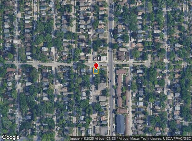
2211 37Th Ave N, Minneapolis, MN 55412


NEARBY LISTINGS FOR SALE OR LEASE
Property Detail
2211 37Th Ave N
Minneapolis-St. Paul-Bloomington, MN-WI
Oak Wood Addn To Mpls
05-029-24-44-0001
LOT 001 BLOCK 001 A OAK WOOD ADDN TO MPLS W 40 FT 40 X 42.75
Commercialnec
Hennepin
X
Minnesota
27053C0218F
1
2024
0.04 AC
2024
Brookdale
100700
Minneapolis/St Paul
1,581 SF
DEMOGRAPHICS near 2211 37Th Ave N
1 Mile
3 Mile
5 Mile
2024 Total Population
22,291
129,023
399,206
2029 Population
21,783
126,458
394,639
Pop Growth 2024-2029
(2.28%)
(1.99%)
(1.14%)
Average Age
35
37
37
2024 Total Households
7,873
49,587
172,546
HH Growth 2024-2029
(2.43%)
(2.08%)
(1.10%)
Median Household Inc
$61,927
$67,647
$66,554
Avg Household Size
2.60
2.40
2.20
2024 Avg HH Vehicles
2.00
2.00
1.00
Median Home Value
$218,426
$247,439
$274,467
Median Year Built
1947
1955
1965
Nearby Places
- Restaurants
- Banks
- Shops
- Fitness
- Groceries
PUBLIC TRANSPORTATION
COMMUTER RAIL
Target Field Station (Northstar Corridor - Northstar Commuter Rail)
DRIVE
WALK
Distance
Target Field Station (Northstar Corridor - Northstar Commuter Rail)
11 min
4.0 mi
Fridley Station (Northstar Corridor - Northstar Commuter Rail)
DRIVE
WALK
Distance
Fridley Station (Northstar Corridor - Northstar Commuter Rail)
12 min
6.0 mi
AIRPORT
Minneapolis-St Paul International/Wold-Chamberlain
DRIVE
WALK
Distance
Minneapolis-St Paul International/Wold-Chamberlain
30 min
16.4 mi
Freight Ports
Port Milwaukee
DRIVE
WALK
Distance
Port Milwaukee
385 min
344.6 mi
Nearby Properties
Address
Land Use
TOTAL SIZE
Lot Size
Zoning
Address
Land Use
TOTAL SIZE
Lot Size
Zoning
1 SF
69.72 AC
I3
Address
Land Use
TOTAL SIZE
Lot Size
Zoning
341,894 SF
2.62 AC
R6
Address
Land Use
TOTAL SIZE
Lot Size
Zoning
405,028 SF
B4N
Address
Land Use
TOTAL SIZE
Lot Size
Zoning
225,845 SF
1 AC
C3A
Address
Land Use
TOTAL SIZE
Lot Size
Zoning
Address
Land Use
TOTAL SIZE
Lot Size
Zoning
458,954 SF
1.73 AC
B4N
Address
Land Use
TOTAL SIZE
Lot Size
Zoning
265,561 SF
1.22 AC
B4N
Address
Land Use
TOTAL SIZE
Lot Size
Zoning
166.50 AC
Address
Land Use
TOTAL SIZE
Lot Size
Zoning
229,978 SF
2.43 AC
C3A
Address
Land Use
TOTAL SIZE
Lot Size
Zoning
245,029 SF
1.36 AC
B4S-1
Address
Land Use
TOTAL SIZE
Lot Size
Zoning
194,647 SF
0.78 AC
B4S-1
Address
Land Use
TOTAL SIZE
Lot Size
Zoning
Address
Land Use
TOTAL SIZE
Lot Size
Zoning
183,782 SF
0.82 AC
C3A
Address
Land Use
TOTAL SIZE
Lot Size
Zoning
249,357 SF
6 AC
Address
Land Use
TOTAL SIZE
Lot Size
Zoning
65,400 SF
3.03 AC
OR2
Address
Land Use
TOTAL SIZE
Lot Size
Zoning
187,386 SF
1.06 AC
R5
Address
Land Use
TOTAL SIZE
Lot Size
Zoning
209,453 SF
0.90 AC
B4N
Address
Land Use
TOTAL SIZE
Lot Size
Zoning
205,287 SF
0.98 AC
B4N
Address
Land Use
TOTAL SIZE
Lot Size
Zoning
351,351 SF
17.98 AC
Address
Land Use
TOTAL SIZE
Lot Size
Zoning
19.10 AC
Address
Land Use
TOTAL SIZE
Lot Size
Zoning
Address
Land Use
TOTAL SIZE
Lot Size
Zoning
266,084 SF
15.60 AC
Address
Land Use
TOTAL SIZE
Lot Size
Zoning
257,551 SF
0.71 AC
B4N
Address
Land Use
TOTAL SIZE
Lot Size
Zoning
255,324 SF
15.22 AC
Address
Land Use
TOTAL SIZE
Lot Size
Zoning
228,346 SF
0.84 AC
B4N
Address
Land Use
TOTAL SIZE
Lot Size
Zoning
155,784 SF
0.78 AC
B4N
Address
Land Use
TOTAL SIZE
Lot Size
Zoning
184,366 SF
0.70 AC
B4N
Address
Land Use
TOTAL SIZE
Lot Size
Zoning
276,211 SF
2.57 AC
I1
Address
Land Use
TOTAL SIZE
Lot Size
Zoning
Address
Land Use
TOTAL SIZE
Lot Size
Zoning
4.34 AC
The World's #1 Commercial Real Estate Marketplace
Connect with us
© 2025 CoStar Group
The information above has been obtained from sources believed reliable. While we do not doubt its accuracy we have not verified it and make no guarantee, warranty or representation about it. It is your responsibility to independently confirm its accuracy and completeness. Any projections, opinions, assumptions, or estimates used are for example only and do not represent the current or future performance of the property. The value of this transaction to you depends on tax and other factors which should be evaluated by your tax, financial, and legal advisors. You and your advisors should conduct a careful, independent investigation of the property to determine to your satisfaction the suitability of the property for your needs.