Property Record
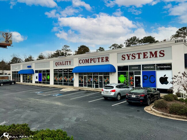
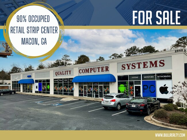
2942 Riverside Dr, Macon, GA 31204

Property Detail
2942 Riverside Dr
Stripcommercialcenter
BIBB
C-4
Georgia
B and X Area of moderate flood hazard, usually the area between the limits of the 100-year and 500-year floods.
1.41 AC
2025
Suburban Macon
2025
Atlanta
014000
Macon-Bibb County, GA
21,420 SF
O051-0233
NEARBY LISTINGS FOR SALE OR LEASE
DEMOGRAPHICS near 2942 Riverside Dr
1 mile
3 mile
5 mile
2025 Total Population
3,969
30,512
85,328
2030 Population
3,843
30,401
85,911
Pop Growth 2025-2030
(3.17%)
(0.36%)
+ 0.68%
Average Age
41
39
39
2025 Total Households
1,673
13,281
35,971
HH Growth 2025-2030
(3.17%)
(0.43%)
+ 0.72%
Median Household Inc
$84,686
$65,472
$48,532
Avg Household Size
2.40
2.20
2.20
2025 Avg HH Vehicles
2.00
2.00
1.00
Median Home Value
$183,112
$222,479
$215,074
Median Year Built
1966
1970
1972
Nearby Places
Map Layers
Map Styles
 Street
 Aerial
Layers
 Traffic
 Biking
Places
Listings with unknown addresses are not visible on the map
- Restaurants
- Banks
- Shops
- Fitness
- Groceries
SALE & LEASE HISTORY
LISTING DATE
SALE/LEASE

Sep 25, 2016
For Lease
Sep 15, 2022
For Lease
Jan 26, 2022
For Sale
Feb 21, 2018
For Lease
Nearby Properties
Address
Land Use
TOTAL SIZE
Lot Size
Zoning
Address
Land Use
TOTAL SIZE
Lot Size
Zoning
196,702 SF
37.72 AC
PDE
Address
Land Use
TOTAL SIZE
Lot Size
Zoning
194,734 SF
6.37 AC
C-2
Address
Land Use
TOTAL SIZE
Lot Size
Zoning
71,021 SF
8.94 AC
PDC
Address
Land Use
TOTAL SIZE
Lot Size
Zoning
231,774 SF
21.27 AC
R-1AAA
Address
Land Use
TOTAL SIZE
Lot Size
Zoning
1,039 SF
14.79 AC
PDR
Address
Land Use
TOTAL SIZE
Lot Size
Zoning
4,000 SF
2,869.72 AC
001
Address
Land Use
TOTAL SIZE
Lot Size
Zoning
1,452 SF
12.16 AC
R-3
Address
Land Use
TOTAL SIZE
Lot Size
Zoning
6,720 SF
16.69 AC
PDR
Address
Land Use
TOTAL SIZE
Lot Size
Zoning
141,816 SF
16.44 AC
C-2
Address
Land Use
TOTAL SIZE
Lot Size
Zoning
2,366 SF
14.46 AC
PDE
Address
Land Use
TOTAL SIZE
Lot Size
Zoning
110,745 SF
4.99 AC
PDE
Address
Land Use
TOTAL SIZE
Lot Size
Zoning
143,280 SF
5.06 AC
HR-3
Address
Land Use
TOTAL SIZE
Lot Size
Zoning
63,654 SF
14.67 AC
C-2
Address
Land Use
TOTAL SIZE
Lot Size
Zoning
23,520 SF
12.78 AC
R-3
Address
Land Use
TOTAL SIZE
Lot Size
Zoning
20,518 SF
19.58 AC
R-3
Address
Land Use
TOTAL SIZE
Lot Size
Zoning
2,816 SF
12.46 AC
R-2
Address
Land Use
TOTAL SIZE
Lot Size
Zoning
16,320 SF
8.60 AC
R-3
Address
Land Use
TOTAL SIZE
Lot Size
Zoning
48,524 SF
1.80 AC
C-2
Address
Land Use
TOTAL SIZE
Lot Size
Zoning
50,918 SF
2 AC
C-2
Address
Land Use
TOTAL SIZE
Lot Size
Zoning
117,083 SF
8.32 AC
PDR
Address
Land Use
TOTAL SIZE
Lot Size
Zoning
26,865 SF
6.60 AC
R-3
Address
Land Use
TOTAL SIZE
Lot Size
Zoning
20,572 SF
16.08 AC
R-3
Address
Land Use
TOTAL SIZE
Lot Size
Zoning
16,180 SF
9.52 AC
C-1
Address
Land Use
TOTAL SIZE
Lot Size
Zoning
76,578 SF
13.60 AC
R-1AAA
Address
Land Use
TOTAL SIZE
Lot Size
Zoning
47,952 SF
2.14 AC
C-2
Address
Land Use
TOTAL SIZE
Lot Size
Zoning
13,344 SF
10.83 AC
R-3
Address
Land Use
TOTAL SIZE
Lot Size
Zoning
74,011 SF
4.85 AC
HR-3
Address
Land Use
TOTAL SIZE
Lot Size
Zoning
1,885 SF
12.62 AC
R-3
Address
Land Use
TOTAL SIZE
Lot Size
Zoning
74,268 SF
7.28 AC
R-3
Address
Land Use
TOTAL SIZE
Lot Size
Zoning
86,477 SF
3.12 AC
C-2
The World's #1 Commercial Real Estate Marketplace
Connect with us
© 2026 CoStar Group
The information above has been obtained from sources believed reliable. While we do not doubt its accuracy we have not verified it and make no guarantee, warranty or representation about it. It is your responsibility to independently confirm its accuracy and completeness. Any projections, opinions, assumptions, or estimates used are for example only and do not represent the current or future performance of the property. The value of this transaction to you depends on tax and other factors which should be evaluated by your tax, financial, and legal advisors. You and your advisors should conduct a careful, independent investigation of the property to determine to your satisfaction the suitability of the property for your needs.