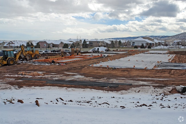
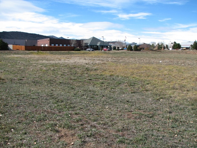
Property Record
10658 W Centennial Rd, Littleton, CO 80127


Property Detail
10658 W Centennial Rd
59-334-12-002
SECTION 33 TOWNSHIP 05 RANGE 69 QTR SE SUBDIVISIONCD 404400 SUBDIVISIONNAME KEN CARYL RANCH PLAINS PH VIII-B BLOCK 006 LOT 0004 SIZE: 102801 TRACT VALUE: 2.360
Industrialgeneral
JEFFERSON
PD
Colorado
B and X Area of moderate flood hazard, usually the area between the limits of the 100-year and 500-year floods.
4
2025
2.36 AC
2025
Southwest Denver
012024
Denver
21,930 SF
Denver-Aurora-Centennial, CO
NEARBY LISTINGS FOR SALE OR LEASE
DEMOGRAPHICS near 10658 W Centennial Rd
1 mile
3 mile
5 mile
2025 Total Population
10,211
61,192
128,399
2030 Population
10,235
60,576
128,527
Pop Growth 2025-2030
+ 0.24%
(1.01%)
+ 0.10%
Average Age
42
42
43
2025 Total Households
4,409
23,633
50,546
HH Growth 2025-2030
+ 0.45%
(1.00%)
+ 0.23%
Median Household Inc
$112,196
$127,643
$122,336
Avg Household Size
2.30
2.50
2.50
2025 Avg HH Vehicles
2.00
2.00
2.00
Median Home Value
$591,962
$681,597
$695,628
Median Year Built
1987
1986
1988
Nearby Places
Map Layers
Map Styles
 Street
 Aerial
Layers
 Traffic
 Biking
Places
Listings with unknown addresses are not visible on the map
- Restaurants
- Banks
- Shops
- Fitness
- Groceries
PUBLIC TRANSPORTATION
AIRPORT
Denver International
Drive
Walk
Distance
Denver International
55 min
47.9 mi
Nearby Properties
Address
Land Use
TOTAL SIZE
Lot Size
Zoning
Address
Land Use
TOTAL SIZE
Lot Size
Zoning
915,689 SF
124.99 AC
PD
Address
Land Use
TOTAL SIZE
Lot Size
Zoning
272,246 SF
31.76 AC
PD
Address
Land Use
TOTAL SIZE
Lot Size
Zoning
2,884.97 AC
A1
Address
Land Use
TOTAL SIZE
Lot Size
Zoning
314,257 SF
82.60 AC
PD
Address
Land Use
TOTAL SIZE
Lot Size
Zoning
400,138 SF
21.23 AC
PD
Address
Land Use
TOTAL SIZE
Lot Size
Zoning
150,951 SF
17.90 AC
PD
Address
Land Use
TOTAL SIZE
Lot Size
Zoning
101,699 SF
10.34 AC
Address
Land Use
TOTAL SIZE
Lot Size
Zoning
297,003 SF
26.77 AC
PD
Address
Land Use
TOTAL SIZE
Lot Size
Zoning
218,391 SF
9.73 AC
PD
Address
Land Use
TOTAL SIZE
Lot Size
Zoning
100,550 SF
7.72 AC
PD
Address
Land Use
TOTAL SIZE
Lot Size
Zoning
33,555 SF
4.18 AC
Address
Land Use
TOTAL SIZE
Lot Size
Zoning
107,693 SF
9.17 AC
PD
Address
Land Use
TOTAL SIZE
Lot Size
Zoning
120,766 SF
20.56 AC
PD
Address
Land Use
TOTAL SIZE
Lot Size
Zoning
97,668 SF
5.90 AC
PD
Address
Land Use
TOTAL SIZE
Lot Size
Zoning
29,094 SF
11.33 AC
Address
Land Use
TOTAL SIZE
Lot Size
Zoning
58,550 SF
9.67 AC
Address
Land Use
TOTAL SIZE
Lot Size
Zoning
104,984 SF
3.11 AC
Address
Land Use
TOTAL SIZE
Lot Size
Zoning
82,765 SF
4.85 AC
PD
Address
Land Use
TOTAL SIZE
Lot Size
Zoning
71,091 SF
4.93 AC
PD
Address
Land Use
TOTAL SIZE
Lot Size
Zoning
59,816 SF
16.92 AC
Address
Land Use
TOTAL SIZE
Lot Size
Zoning
63,535 SF
7.04 AC
PD
Address
Land Use
TOTAL SIZE
Lot Size
Zoning
89,974 SF
6.76 AC
PD
Address
Land Use
TOTAL SIZE
Lot Size
Zoning
36,847 SF
3.02 AC
PD
Address
Land Use
TOTAL SIZE
Lot Size
Zoning
66,230 SF
4 AC
PD
Address
Land Use
TOTAL SIZE
Lot Size
Zoning
40,129 SF
5.47 AC
Address
Land Use
TOTAL SIZE
Lot Size
Zoning
470 AC
A1
Address
Land Use
TOTAL SIZE
Lot Size
Zoning
52,803 SF
3.40 AC
PD
Address
Land Use
TOTAL SIZE
Lot Size
Zoning
153.92 AC
PD
Address
Land Use
TOTAL SIZE
Lot Size
Zoning
58,458 SF
2.88 AC
PD
Address
Land Use
TOTAL SIZE
Lot Size
Zoning
907 SF
522.95 AC
The World's #1 Commercial Real Estate Marketplace
Connect with us
© 2026 CoStar Group
The information above has been obtained from sources believed reliable. While we do not doubt its accuracy we have not verified it and make no guarantee, warranty or representation about it. It is your responsibility to independently confirm its accuracy and completeness. Any projections, opinions, assumptions, or estimates used are for example only and do not represent the current or future performance of the property. The value of this transaction to you depends on tax and other factors which should be evaluated by your tax, financial, and legal advisors. You and your advisors should conduct a careful, independent investigation of the property to determine to your satisfaction the suitability of the property for your needs.