Property Record
29601 Sw 162Nd Ave, Homestead, FL 33033
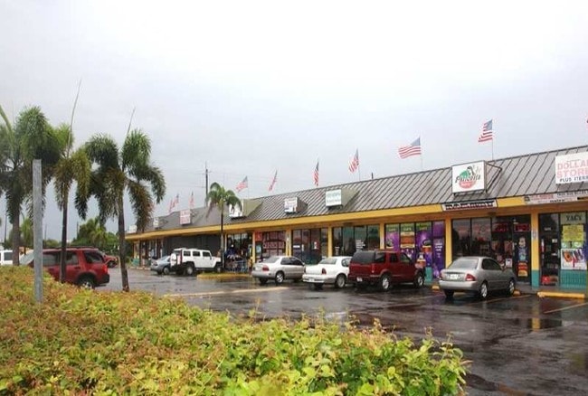


Property Detail
29601 Sw 162Nd Ave
30-7908-000-0130
8 57 39 1.664 AC M/L N332.28FT OF THAT PT OF NW1/4 OF NW1/4 OF NE1/4 LESS W35FT & N40FT FOR R/W LYG WLY OF C-103-1 CANAL R/W OR 20508-1204 0602 3 COC 26358-2586 04 2008 1
Storemultistory
Miami-Dade
6200
Florida
B and X Area of moderate flood hazard, usually the area between the limits of the 100-year and 500-year floods.
1.66 AC
2024
South Dade
2025
South Florida
011011
Miami-Miami Beach-Kendall, FL
16,312 SF
NEARBY LISTINGS FOR SALE OR LEASE
DEMOGRAPHICS near 29601 Sw 162Nd Ave
1 mile
3 mile
5 mile
2025 Total Population
17,076
133,531
201,334
2030 Population
18,454
144,098
217,850
Pop Growth 2025-2030
+ 8.07%
+ 7.91%
+ 8.20%
Average Age
38
36
36
2025 Total Households
4,991
40,530
60,652
HH Growth 2025-2030
+ 8.25%
+ 7.92%
+ 8.18%
Median Household Inc
$63,881
$68,507
$67,536
Avg Household Size
3.20
3.20
3.20
2025 Avg HH Vehicles
2.00
2.00
2.00
Median Home Value
$439,803
$416,779
$413,477
Median Year Built
1980
1999
1999
Nearby Places
Map Layers
Map Styles
 Street
 Aerial
Layers
 Traffic
 Biking
Places
Listings with unknown addresses are not visible on the map
- Restaurants
- Banks
- Shops
- Fitness
- Groceries
PUBLIC TRANSPORTATION
AIRPORT
Miami International
Drive
Walk
Distance
Miami International
43 min
29.5 mi
Freight Ports
Port of Miami
Drive
Walk
Distance
Port of Miami
53 min
36.6 mi
SALE & LEASE HISTORY
LISTING DATE
SALE/LEASE

Sep 25, 2016
For Lease
Dec 22, 2017
For Lease
Nearby Properties
Address
Land Use
TOTAL SIZE
Lot Size
Zoning
Address
Land Use
TOTAL SIZE
Lot Size
Zoning
487,531 SF
60 AC
9300
Address
Land Use
TOTAL SIZE
Lot Size
Zoning
289,905 SF
29.74 AC
6500
Address
Land Use
TOTAL SIZE
Lot Size
Zoning
321,122 SF
7.31 AC
3161
Address
Land Use
TOTAL SIZE
Lot Size
Zoning
313,656 SF
10.71 AC
3900
Address
Land Use
TOTAL SIZE
Lot Size
Zoning
149,022 SF
34.85 AC
9300
Address
Land Use
TOTAL SIZE
Lot Size
Zoning
253,088 SF
2.90 AC
6072
Address
Land Use
TOTAL SIZE
Lot Size
Zoning
225,691 SF
8.22 AC
3900
Address
Land Use
TOTAL SIZE
Lot Size
Zoning
228,908 SF
65.07 AC
3050
Address
Land Use
TOTAL SIZE
Lot Size
Zoning
216,282 SF
20.04 AC
6300
Address
Land Use
TOTAL SIZE
Lot Size
Zoning
183,244 SF
4 AC
6500
Address
Land Use
TOTAL SIZE
Lot Size
Zoning
304,629 SF
36.34 AC
0100
Address
Land Use
TOTAL SIZE
Lot Size
Zoning
252,526 SF
29.86 AC
6000
Address
Land Use
TOTAL SIZE
Lot Size
Zoning
169,474 SF
5.76 AC
6300
Address
Land Use
TOTAL SIZE
Lot Size
Zoning
183,633 SF
3.78 AC
3802
Address
Land Use
TOTAL SIZE
Lot Size
Zoning
199,350 SF
3.75 AC
3161
Address
Land Use
TOTAL SIZE
Lot Size
Zoning
208,951 SF
20 AC
6300
Address
Land Use
TOTAL SIZE
Lot Size
Zoning
409,347 SF
33.88 AC
3000
Address
Land Use
TOTAL SIZE
Lot Size
Zoning
179,608 SF
8.06 AC
9300
Address
Land Use
TOTAL SIZE
Lot Size
Zoning
144,931 SF
10.69 AC
6200
Address
Land Use
TOTAL SIZE
Lot Size
Zoning
119,534 SF
8.55 AC
6200
Address
Land Use
TOTAL SIZE
Lot Size
Zoning
203,528 SF
3.73 AC
6000
Address
Land Use
TOTAL SIZE
Lot Size
Zoning
234,124 SF
23.35 AC
6000
Address
Land Use
TOTAL SIZE
Lot Size
Zoning
374,632 SF
23.28 AC
3000
Address
Land Use
TOTAL SIZE
Lot Size
Zoning
172,811 SF
22.02 AC
9300
Address
Land Use
TOTAL SIZE
Lot Size
Zoning
159,298 SF
4.93 AC
5300
Address
Land Use
TOTAL SIZE
Lot Size
Zoning
185,907 SF
57.94 AC
3100
Address
Land Use
TOTAL SIZE
Lot Size
Zoning
24.37 AC
6600
Address
Land Use
TOTAL SIZE
Lot Size
Zoning
169,748 SF
15.47 AC
6400
Address
Land Use
TOTAL SIZE
Lot Size
Zoning
96,971 SF
3.08 AC
6500
The World's #1 Commercial Real Estate Marketplace
Connect with us
© 2026 CoStar Group
The information above has been obtained from sources believed reliable. While we do not doubt its accuracy we have not verified it and make no guarantee, warranty or representation about it. It is your responsibility to independently confirm its accuracy and completeness. Any projections, opinions, assumptions, or estimates used are for example only and do not represent the current or future performance of the property. The value of this transaction to you depends on tax and other factors which should be evaluated by your tax, financial, and legal advisors. You and your advisors should conduct a careful, independent investigation of the property to determine to your satisfaction the suitability of the property for your needs.