Property Record
17300 Highway 99, Lynnwood, WA 98037


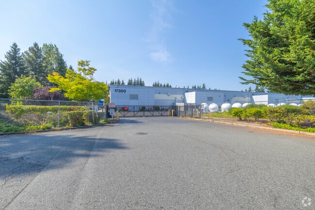

Property Detail
17300 Highway 99
005138-000-099-02
SECTION 9 TOWNSHIP 27 RANGE 4 QUARTER SE MEADOWDALE 10 AC TRS DIV 2 BLK 000 D-02 LOT 1 LYNNWOOD CENTER BSP REC AFN 8712235003 & AMD REC AFN 8810135001, 9901215002, 200310205005 & 201208025001 BEING PTN OF TRS 99 & 102
Transportationcommunicationsgeneral
Snohomish
CG
Washington
B and X Area of moderate flood hazard, usually the area between the limits of the 100-year and 500-year floods.
1
2025
8.22 AC
2026
Edmonds/Lynnwood
051601
Seattle/Puget Sound
134,111 SF
Seattle-Tacoma-Bellevue, WA
NEARBY LISTINGS FOR SALE OR LEASE
DEMOGRAPHICS near 17300 Highway 99
1 mile
3 mile
5 mile
2024 Total Population
19,316
139,202
320,008
2029 Population
19,800
145,772
333,589
Pop Growth 2024-2029
+ 2.51%
+ 4.72%
+ 4.24%
Average Age
41
40
40
2024 Total Households
7,431
53,922
125,090
HH Growth 2024-2029
+ 2.62%
+ 4.83%
+ 4.35%
Median Household Inc
$96,640
$103,218
$108,190
Avg Household Size
2.50
2.50
2.50
2024 Avg HH Vehicles
2.00
2.00
2.00
Median Home Value
$711,455
$748,554
$760,233
Median Year Built
1979
1988
1987
Nearby Places
Map Layers
Map Styles
 Street
 Aerial
Transit
 Traffic
 Biking
Places
Listings with unknown addresses are not visible on the map
- Restaurants
- Banks
- Shops
- Fitness
- Groceries
PUBLIC TRANSPORTATION
COMMUTER RAIL
Edmonds Station (Sounder South Line - Central Puget Sound Regional Transit Authority Rail (Link Light Rail/Sounder))
Drive
Walk
Distance
Edmonds Station (Sounder South Line - Central Puget Sound Regional Transit Authority Rail (Link Light Rail/Sounder))
14 min
5.6 mi
Mukilteo Station (Sounder South Line - Central Puget Sound Regional Transit Authority Rail (Link Light Rail/Sounder))
Drive
Walk
Distance
Mukilteo Station (Sounder South Line - Central Puget Sound Regional Transit Authority Rail (Link Light Rail/Sounder))
19 min
9.1 mi
AIRPORT
Seattle Paine Field International
Drive
Walk
Distance
Seattle Paine Field International
13 min
6.0 mi
Seattle-Tacoma International
Drive
Walk
Distance
Seattle-Tacoma International
48 min
31.8 mi
Freight Ports
Port of Everett
Drive
Walk
Distance
Port of Everett
23 min
11.1 mi
Nearby Properties
Address
Land Use
TOTAL SIZE
Lot Size
Zoning
Address
Land Use
TOTAL SIZE
Lot Size
Zoning
813,456 SF
30.76 AC
PRC
Address
Land Use
TOTAL SIZE
Lot Size
Zoning
547,136 SF
4.07 AC
UC
Address
Land Use
TOTAL SIZE
Lot Size
Zoning
421,873 SF
9.06 AC
PCD
Address
Land Use
TOTAL SIZE
Lot Size
Zoning
426,238 SF
9.84 AC
UC
Address
Land Use
TOTAL SIZE
Lot Size
Zoning
619,673 SF
0.34 AC
UC
Address
Land Use
TOTAL SIZE
Lot Size
Zoning
524,803 SF
PRC
Address
Land Use
TOTAL SIZE
Lot Size
Zoning
217,071 SF
36.47 AC
R-9,600
Address
Land Use
TOTAL SIZE
Lot Size
Zoning
316,519 SF
16.81 AC
MR
Address
Land Use
TOTAL SIZE
Lot Size
Zoning
314,593 SF
2.39 AC
UC
Address
Land Use
TOTAL SIZE
Lot Size
Zoning
520,582 SF
1.11 AC
UC
Address
Land Use
TOTAL SIZE
Lot Size
Zoning
232,411 SF
18.56 AC
MR
Address
Land Use
TOTAL SIZE
Lot Size
Zoning
386,535 SF
2.21 AC
UC
Address
Land Use
TOTAL SIZE
Lot Size
Zoning
514,225 SF
11.96 AC
CC-W
Address
Land Use
TOTAL SIZE
Lot Size
Zoning
24,833 SF
2.48 AC
CC-C
Address
Land Use
TOTAL SIZE
Lot Size
Zoning
366,782 SF
19.24 AC
RMM
Address
Land Use
TOTAL SIZE
Lot Size
Zoning
250,741 SF
15.61 AC
UC
Address
Land Use
TOTAL SIZE
Lot Size
Zoning
337,473 SF
1.74 AC
CC-C
Address
Land Use
TOTAL SIZE
Lot Size
Zoning
244,082 SF
13.45 AC
MR
Address
Land Use
TOTAL SIZE
Lot Size
Zoning
30 AC
P
Address
Land Use
TOTAL SIZE
Lot Size
Zoning
236,844 SF
9.02 AC
CB
Address
Land Use
TOTAL SIZE
Lot Size
Zoning
213,689 SF
7.46 AC
UC
Address
Land Use
TOTAL SIZE
Lot Size
Zoning
177,325 SF
20.54 AC
R-9,600
Address
Land Use
TOTAL SIZE
Lot Size
Zoning
195,366 SF
10.66 AC
MR
Address
Land Use
TOTAL SIZE
Lot Size
Zoning
225,964 SF
11.73 AC
MR
Address
Land Use
TOTAL SIZE
Lot Size
Zoning
180,947 SF
8.24 AC
MR
Address
Land Use
TOTAL SIZE
Lot Size
Zoning
204,730 SF
9.74 AC
CG2
Address
Land Use
TOTAL SIZE
Lot Size
Zoning
196,628 SF
12.64 AC
MR
Address
Land Use
TOTAL SIZE
Lot Size
Zoning
243,504 SF
13.84 AC
CB
Address
Land Use
TOTAL SIZE
Lot Size
Zoning
475,490 SF
24.38 AC
IP
Address
Land Use
TOTAL SIZE
Lot Size
Zoning
187,893 SF
12.83 AC
CC-C
The World's #1 Commercial Real Estate Marketplace
Connect with us
© 2026 CoStar Group
The information above has been obtained from sources believed reliable. While we do not doubt its accuracy we have not verified it and make no guarantee, warranty or representation about it. It is your responsibility to independently confirm its accuracy and completeness. Any projections, opinions, assumptions, or estimates used are for example only and do not represent the current or future performance of the property. The value of this transaction to you depends on tax and other factors which should be evaluated by your tax, financial, and legal advisors. You and your advisors should conduct a careful, independent investigation of the property to determine to your satisfaction the suitability of the property for your needs.