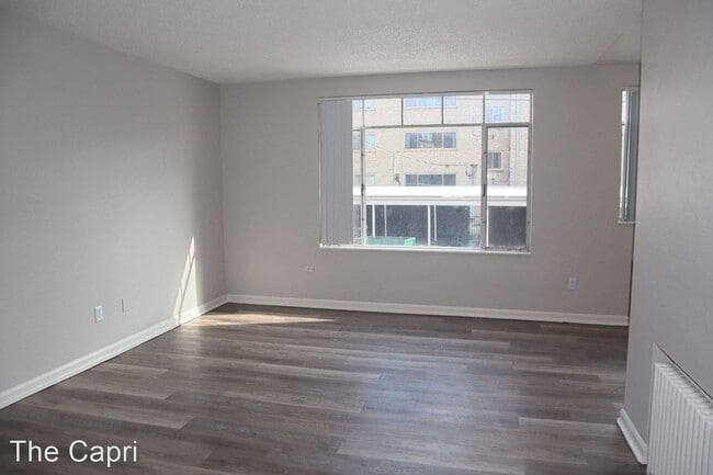
Property Record
1250 Colorado Blvd, Denver, CO 80206


NEARBY LISTINGS FOR SALE OR LEASE
Property Detail
1250 Colorado Blvd
Denver-Aurora-Lakewood, CO
Bellevue Park
6062-24-002
BELLEVUE PARK B1 L7 TO 12
Apartment
Denver
X
Colorado
08005C0175K
7-12
2024
0.43 AC
2024
Hale
004307
Denver
19,060 SF
DEMOGRAPHICS near 1250 Colorado Blvd
1 Mile
3 Mile
5 Mile
2024 Total Population
26,458
232,407
513,775
2029 Population
26,484
235,693
522,714
Pop Growth 2024-2029
+ 0.10%
+ 1.41%
+ 1.74%
Average Age
40
39
38
2024 Total Households
13,628
118,951
242,857
HH Growth 2024-2029
+ 0.04%
+ 1.41%
+ 1.75%
Median Household Inc
$86,441
$86,079
$81,107
Avg Household Size
1.90
1.90
2.00
2024 Avg HH Vehicles
1.00
1.00
1.00
Median Home Value
$782,045
$720,938
$651,640
Median Year Built
1954
1966
1974
Nearby Places
Map Layers
Map Styles
 Street
 Aerial
- Restaurants
- Banks
- Shops
- Fitness
- Groceries
PUBLIC TRANSPORTATION
AIRPORT
Denver International
DRIVE
WALK
Distance
Denver International
32 min
22.6 mi
Nearby Properties
Address
Land Use
TOTAL SIZE
Lot Size
Zoning
Address
Land Use
TOTAL SIZE
Lot Size
Zoning
1,882,179 SF
21.15 AC
D-TD
Address
Land Use
TOTAL SIZE
Lot Size
Zoning
857,233 SF
10.26 AC
CMP-H
Address
Land Use
TOTAL SIZE
Lot Size
Zoning
1,542,612 SF
1.56 AC
D-C
Address
Land Use
TOTAL SIZE
Lot Size
Zoning
856,519 SF
10.04 AC
B-3
Address
Land Use
TOTAL SIZE
Lot Size
Zoning
1,567,575 SF
1.40 AC
D-C
Address
Land Use
TOTAL SIZE
Lot Size
Zoning
1,096,923 SF
16.14 AC
CMP-H
Address
Land Use
TOTAL SIZE
Lot Size
Zoning
1,312,939 SF
1.15 AC
D-C
Address
Land Use
TOTAL SIZE
Lot Size
Zoning
1,048,471 SF
2.44 AC
PUD
Address
Land Use
TOTAL SIZE
Lot Size
Zoning
656,257 SF
3.05 AC
D-CV
Address
Land Use
TOTAL SIZE
Lot Size
Zoning
614,750 SF
0.23 AC
D-C
Address
Land Use
TOTAL SIZE
Lot Size
Zoning
677,832 SF
2.42 AC
D-C
Address
Land Use
TOTAL SIZE
Lot Size
Zoning
724,981 SF
1.26 AC
D-C
Address
Land Use
TOTAL SIZE
Lot Size
Zoning
1,018,386 SF
2.46 AC
D-C
Address
Land Use
TOTAL SIZE
Lot Size
Zoning
604,358 SF
2.45 AC
D-C
Address
Land Use
TOTAL SIZE
Lot Size
Zoning
716,151 SF
2.45 AC
D-C
Address
Land Use
TOTAL SIZE
Lot Size
Zoning
618,768 SF
1.23 AC
D-C
Address
Land Use
TOTAL SIZE
Lot Size
Zoning
778,340 SF
0.61 AC
D-C
Address
Land Use
TOTAL SIZE
Lot Size
Zoning
764,724 SF
1 AC
D-C
Address
Land Use
TOTAL SIZE
Lot Size
Zoning
824,150 SF
1.95 AC
D-C
Address
Land Use
TOTAL SIZE
Lot Size
Zoning
497,777 SF
3.70 AC
D-CV
Address
Land Use
TOTAL SIZE
Lot Size
Zoning
345,616 SF
3.45 AC
PUD
Address
Land Use
TOTAL SIZE
Lot Size
Zoning
719,357 SF
21.47 AC
M-MX-5
Address
Land Use
TOTAL SIZE
Lot Size
Zoning
614,122 SF
0.64 AC
D-C
Address
Land Use
TOTAL SIZE
Lot Size
Zoning
666,300 SF
0.79 AC
D-C
Address
Land Use
TOTAL SIZE
Lot Size
Zoning
612,270 SF
0.32 AC
D-C
Address
Land Use
TOTAL SIZE
Lot Size
Zoning
934,630 SF
10.93 AC
H-1-A
Address
Land Use
TOTAL SIZE
Lot Size
Zoning
793,250 SF
0.83 AC
D-C
Address
Land Use
TOTAL SIZE
Lot Size
Zoning
361,069 SF
0.65 AC
D-C
Address
Land Use
TOTAL SIZE
Lot Size
Zoning
488,638 SF
2.44 AC
D-CV
Address
Land Use
TOTAL SIZE
Lot Size
Zoning
293,795 SF
5.16 AC
CMP-H
The World's #1 Commercial Real Estate Marketplace
Connect with us
© 2025 CoStar Group
The information above has been obtained from sources believed reliable. While we do not doubt its accuracy we have not verified it and make no guarantee, warranty or representation about it. It is your responsibility to independently confirm its accuracy and completeness. Any projections, opinions, assumptions, or estimates used are for example only and do not represent the current or future performance of the property. The value of this transaction to you depends on tax and other factors which should be evaluated by your tax, financial, and legal advisors. You and your advisors should conduct a careful, independent investigation of the property to determine to your satisfaction the suitability of the property for your needs.