Log In/Sign Up
15-19 High St
Norwell, MA 02061
Land For Sale
·
2.17 AC
Property Facts
| Property Type | Land | Total Lot Size | 2.17 AC |
| Property Subtype | Commercial | No. Stories | 2 |
| Zoning | B4 | ||
| Property Type | Land |
| Property Subtype | Commercial |
| Total Lot Size | 2.17 AC |
| No. Stories | 2 |
| Zoning | B4 |
Description
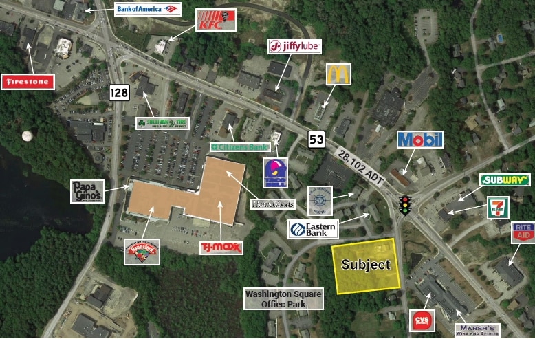
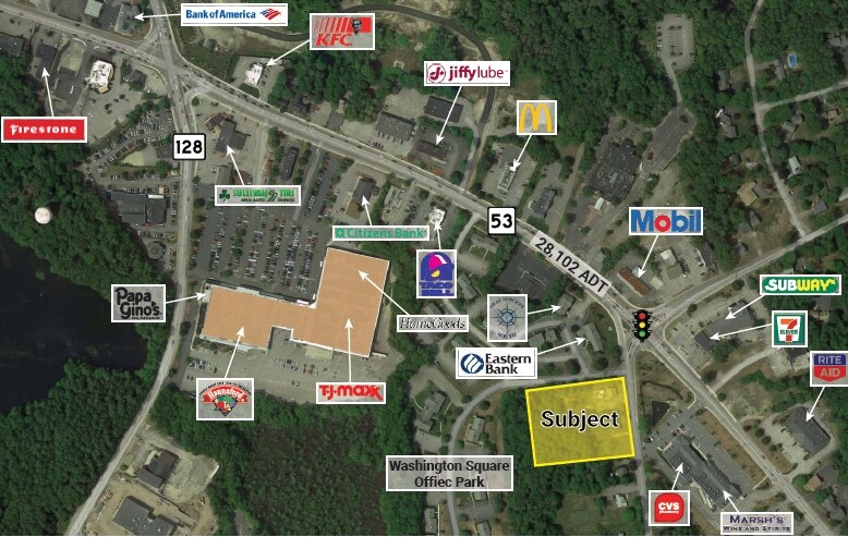
One lot is 1.17 acres and another is the adjacent lot consisting of 1 acres totaling 2.17 acres of commercial land just off the busy intersection of route 53 ,Grove Street and High Street in Norwell Ma near all the local retail and office. Fairly flat 2.17 acres of upland with a house on each lot and at a key busy intersection of route 53 and close to all retail such as Hannaford Supermarket, CVS /Marsh's Liquors, banks, fast food ,offices ,medical and surrounded by residential.
Property Taxes
| Parcel Number | NORW-000017-000000-000067 | Improvements Assessment | $1,538,900 |
| Land Assessment | $729,000 | Total Assessment | $2,267,900 |
Property Taxes
Parcel Number
NORW-000017-000000-000067
Land Assessment
$729,000
Improvements Assessment
$1,538,900
Total Assessment
$2,267,900
1 of 1
Videos
Matterport 3D Exterior
Matterport 3D Tour
Photos
Street View
Street
Map