Property Record
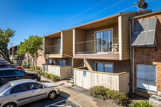
0 S Braeswood Blvd, Houston, TX 77074


NEARBY LISTINGS FOR SALE OR LEASE
Property Detail
0 S Braeswood Blvd
Houston-The Woodlands-Sugar Land, TX
Abst 1012 L Cotton
0461130000111
TRS 21B 22B & 24B ABST 1012 L COTTON
Vacantlandnec
Harris
AE
Texas
48201C0845M
0.27 AC
0
Braeburn
2025
Houston
422800
DEMOGRAPHICS near 0 S Braeswood Blvd
1 Mile
3 Mile
5 Mile
2024 Total Population
23,626
221,880
531,487
2029 Population
24,609
227,133
551,131
Pop Growth 2024-2029
+ 4.16%
+ 2.37%
+ 3.70%
Average Age
34
36
36
2024 Total Households
8,550
78,354
196,525
HH Growth 2024-2029
+ 4.08%
+ 2.29%
+ 3.71%
Median Household Inc
$33,724
$39,425
$43,901
Avg Household Size
2.70
2.70
2.60
2024 Avg HH Vehicles
1.00
1.00
2.00
Median Home Value
$168,976
$195,052
$211,932
Median Year Built
1977
1977
1978
Nearby Places
Map Layers
Map Styles
 Street
 Aerial
- Restaurants
- Banks
- Shops
- Fitness
- Groceries
PUBLIC TRANSPORTATION
AIRPORT
William P Hobby
DRIVE
WALK
Distance
William P Hobby
35 min
19.1 mi
George Bush Intcntl/Houston
DRIVE
WALK
Distance
George Bush Intcntl/Houston
42 min
31.1 mi
Freight Ports
Port of Houston
DRIVE
WALK
Distance
Port of Houston
32 min
19.4 mi
Nearby Properties
Address
Land Use
TOTAL SIZE
Lot Size
Zoning
Address
Land Use
TOTAL SIZE
Lot Size
Zoning
1,202,191 SF
39.08 AC
Address
Land Use
TOTAL SIZE
Lot Size
Zoning
1,612,349 SF
54.03 AC
Address
Land Use
TOTAL SIZE
Lot Size
Zoning
627,632 SF
24.12 AC
Address
Land Use
TOTAL SIZE
Lot Size
Zoning
807,423 SF
30.01 AC
Address
Land Use
TOTAL SIZE
Lot Size
Zoning
188,178 SF
18.49 AC
Address
Land Use
TOTAL SIZE
Lot Size
Zoning
769,005 SF
20.46 AC
Address
Land Use
TOTAL SIZE
Lot Size
Zoning
544,698 SF
15.66 AC
Address
Land Use
TOTAL SIZE
Lot Size
Zoning
340,136 SF
13.34 AC
Address
Land Use
TOTAL SIZE
Lot Size
Zoning
539,308 SF
21 AC
Address
Land Use
TOTAL SIZE
Lot Size
Zoning
493,494 SF
13.54 AC
Address
Land Use
TOTAL SIZE
Lot Size
Zoning
456,076 SF
19.09 AC
Address
Land Use
TOTAL SIZE
Lot Size
Zoning
87,017 SF
3.19 AC
Address
Land Use
TOTAL SIZE
Lot Size
Zoning
623,343 SF
22.89 AC
Address
Land Use
TOTAL SIZE
Lot Size
Zoning
434,744 SF
16.74 AC
Address
Land Use
TOTAL SIZE
Lot Size
Zoning
431,227 SF
15.51 AC
Address
Land Use
TOTAL SIZE
Lot Size
Zoning
391,070 SF
12.51 AC
Address
Land Use
TOTAL SIZE
Lot Size
Zoning
315,844 SF
11.85 AC
Address
Land Use
TOTAL SIZE
Lot Size
Zoning
275,996 SF
11 AC
Address
Land Use
TOTAL SIZE
Lot Size
Zoning
349,982 SF
18.44 AC
Address
Land Use
TOTAL SIZE
Lot Size
Zoning
443,535 SF
13.14 AC
Address
Land Use
TOTAL SIZE
Lot Size
Zoning
352,526 SF
11.50 AC
Address
Land Use
TOTAL SIZE
Lot Size
Zoning
388,621 SF
12.55 AC
Address
Land Use
TOTAL SIZE
Lot Size
Zoning
280,253 SF
12.54 AC
Address
Land Use
TOTAL SIZE
Lot Size
Zoning
208,600 SF
10.82 AC
Address
Land Use
TOTAL SIZE
Lot Size
Zoning
293,300 SF
10.12 AC
Address
Land Use
TOTAL SIZE
Lot Size
Zoning
292,235 SF
9.78 AC
Address
Land Use
TOTAL SIZE
Lot Size
Zoning
341,127 SF
10 AC
Address
Land Use
TOTAL SIZE
Lot Size
Zoning
109,960 SF
3.83 AC
Address
Land Use
TOTAL SIZE
Lot Size
Zoning
244,592 SF
9.63 AC
Address
Land Use
TOTAL SIZE
Lot Size
Zoning
89,524 SF
19.94 AC
The World's #1 Commercial Real Estate Marketplace
Connect with us
© 2025 CoStar Group
The information above has been obtained from sources believed reliable. While we do not doubt its accuracy we have not verified it and make no guarantee, warranty or representation about it. It is your responsibility to independently confirm its accuracy and completeness. Any projections, opinions, assumptions, or estimates used are for example only and do not represent the current or future performance of the property. The value of this transaction to you depends on tax and other factors which should be evaluated by your tax, financial, and legal advisors. You and your advisors should conduct a careful, independent investigation of the property to determine to your satisfaction the suitability of the property for your needs.