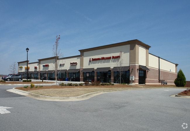
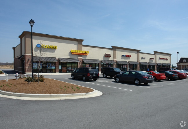
Property Record
2625 Old Winder Hwy, Braselton, GA 30517


Property Detail
2625 Old Winder Hwy
3-006-937
GA HWY 211
Stripcommercialcenter
Gwinnett
PUD
Georgia
B and X Area of moderate flood hazard, usually the area between the limits of the 100-year and 500-year floods.
0
2025
1.43 AC
2025
Suwanee/Buford
050617
Atlanta
14,710 SF
Atlanta-Sandy Springs-Roswell, GA
NEARBY LISTINGS FOR SALE OR LEASE
-
-
View all Braselton listings for lease on LoopNet.com
DEMOGRAPHICS near 2625 Old Winder Hwy
1 mile
3 mile
5 mile
2025 Total Population
6,040
25,175
71,191
2030 Population
6,599
28,061
78,857
Pop Growth 2025-2030
+ 9.25%
+ 11.46%
+ 10.77%
Average Age
39
41
40
2025 Total Households
2,065
8,820
23,982
HH Growth 2025-2030
+ 9.15%
+ 11.34%
+ 10.97%
Median Household Inc
$120,932
$118,857
$110,963
Avg Household Size
2.90
2.80
3.00
2025 Avg HH Vehicles
2.00
2.00
2.00
Median Home Value
$452,369
$453,129
$428,867
Median Year Built
2006
2008
2005
Nearby Places
Map Layers
Map Styles
 Street
 Aerial
Transit
 Traffic
 Biking
Places
Listings with unknown addresses are not visible on the map
- Restaurants
- Banks
- Shops
- Fitness
- Groceries
SALE & LEASE HISTORY
LISTING DATE
SALE/LEASE

Apr 08, 2024
For Lease
Nearby Properties
Address
Land Use
TOTAL SIZE
Lot Size
Zoning
Address
Land Use
TOTAL SIZE
Lot Size
Zoning
105,000 SF
104.18 AC
POD
Address
Land Use
TOTAL SIZE
Lot Size
Zoning
30,720 SF
12.28 AC
G-C
Address
Land Use
TOTAL SIZE
Lot Size
Zoning
381,371 SF
77.27 AC
PUD
Address
Land Use
TOTAL SIZE
Lot Size
Zoning
160,277 SF
53.35 AC
PUD
Address
Land Use
TOTAL SIZE
Lot Size
Zoning
805,954 SF
52.41 AC
003
Address
Land Use
TOTAL SIZE
Lot Size
Zoning
521,290 SF
23.64 AC
MD
Address
Land Use
TOTAL SIZE
Lot Size
Zoning
510,720 SF
48.46 AC
M1
Address
Land Use
TOTAL SIZE
Lot Size
Zoning
263,400 SF
8.65 AC
PRD
Address
Land Use
TOTAL SIZE
Lot Size
Zoning
114,835 SF
15.29 AC
POD
Address
Land Use
TOTAL SIZE
Lot Size
Zoning
348,990 SF
86.93 AC
M
Address
Land Use
TOTAL SIZE
Lot Size
Zoning
422,920 SF
24.67 AC
MD
Address
Land Use
TOTAL SIZE
Lot Size
Zoning
46,400 SF
3.51 AC
G-C
Address
Land Use
TOTAL SIZE
Lot Size
Zoning
547,250 SF
47.51 AC
M1
Address
Land Use
TOTAL SIZE
Lot Size
Zoning
9,800 SF
681.58 AC
PCD
Address
Land Use
TOTAL SIZE
Lot Size
Zoning
44,824 SF
3.22 AC
G-C
Address
Land Use
TOTAL SIZE
Lot Size
Zoning
42,053 SF
40.85 AC
PUD
Address
Land Use
TOTAL SIZE
Lot Size
Zoning
24,486 SF
3.85 AC
G-C
Address
Land Use
TOTAL SIZE
Lot Size
Zoning
18,510 SF
490.78 AC
PRD/PCD
Address
Land Use
TOTAL SIZE
Lot Size
Zoning
222,000 SF
20.59 AC
003
Address
Land Use
TOTAL SIZE
Lot Size
Zoning
5,220 SF
53.11 AC
PUD
Address
Land Use
TOTAL SIZE
Lot Size
Zoning
554,285 SF
70.18 AC
Address
Land Use
TOTAL SIZE
Lot Size
Zoning
82,604 SF
13.11 AC
G-C
Address
Land Use
TOTAL SIZE
Lot Size
Zoning
240,946 SF
21.51 AC
004
Address
Land Use
TOTAL SIZE
Lot Size
Zoning
1,280 SF
24.21 AC
PCD
Address
Land Use
TOTAL SIZE
Lot Size
Zoning
73,810 SF
34.67 AC
GC
Address
Land Use
TOTAL SIZE
Lot Size
Zoning
42,848 SF
4.55 AC
G-C
Address
Land Use
TOTAL SIZE
Lot Size
Zoning
76,566 SF
10.33 AC
PUD
Address
Land Use
TOTAL SIZE
Lot Size
Zoning
15,000 SF
7.53 AC
G-C
Address
Land Use
TOTAL SIZE
Lot Size
Zoning
24,290 SF
6.15 AC
PUD
Address
Land Use
TOTAL SIZE
Lot Size
Zoning
35,318 SF
6.72 AC
G-C
The World's #1 Commercial Real Estate Marketplace
Connect with us
© 2026 CoStar Group
The information above has been obtained from sources believed reliable. While we do not doubt its accuracy we have not verified it and make no guarantee, warranty or representation about it. It is your responsibility to independently confirm its accuracy and completeness. Any projections, opinions, assumptions, or estimates used are for example only and do not represent the current or future performance of the property. The value of this transaction to you depends on tax and other factors which should be evaluated by your tax, financial, and legal advisors. You and your advisors should conduct a careful, independent investigation of the property to determine to your satisfaction the suitability of the property for your needs.