Property Record
5224 Indian River Rd, Virginia Beach, VA 23464

Property Detail
5224 Indian River Rd
Virginia Beach-Chesapeake-Norfolk, VA-NC
ACREDALE BUS PRK CONDO COMMON AREA
1465-47-2824
Virginia Beach City
Commercialcondominium
Virginia
B and X Area of moderate flood hazard, usually the area between the limits of the 100-year and 500-year floods.
0.01 AC
0
Kempsville
2025
Hampton Roads
046211
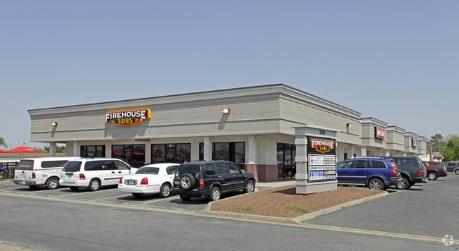
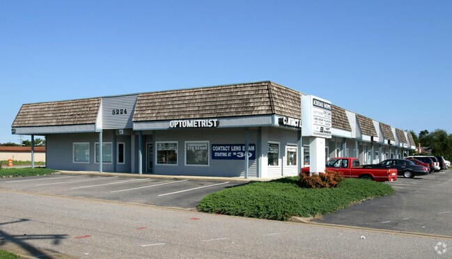
NEARBY LISTINGS FOR SALE OR LEASE
DEMOGRAPHICS near 5224 Indian River Rd
1 mile
3 mile
5 mile
2025 Total Population
14,994
119,055
287,744
2030 Population
14,643
117,392
284,898
Pop Growth 2025-2030
(2.34%)
(1.40%)
(0.99%)
Average Age
41
40
39
2025 Total Households
5,709
44,665
111,251
HH Growth 2025-2030
(2.35%)
(1.41%)
(0.97%)
Median Household Inc
$95,017
$91,478
$82,876
Avg Household Size
2.60
2.60
2.50
2025 Avg HH Vehicles
2.00
2.00
2.00
Median Home Value
$347,993
$351,012
$332,671
Median Year Built
1980
1983
1983
Nearby Places
Map Layers
Map Styles
 Street
 Aerial
Transit
 Traffic
 Biking
Places
Listings with unknown addresses are not visible on the map
- Restaurants
- Banks
- Shops
- Fitness
- Groceries
PUBLIC TRANSPORTATION
COMMUTER RAIL
Norfolk (Northeast Regional - Amtrak)
Drive
Walk
Distance
Norfolk (Northeast Regional - Amtrak)
13 min
7.3 mi
AIRPORT
Norfolk International
Drive
Walk
Distance
Norfolk International
15 min
9.3 mi
Newport News/Williamsburg International
Drive
Walk
Distance
Newport News/Williamsburg International
50 min
34.8 mi
Freight Ports
Virginia Port Authority - Portsmouth
Drive
Walk
Distance
Virginia Port Authority - Portsmouth
24 min
12.3 mi
Nearby Properties
Address
Land Use
TOTAL SIZE
Lot Size
Zoning
Address
Land Use
TOTAL SIZE
Lot Size
Zoning
4 SF
19.85 AC
A12
Address
Land Use
TOTAL SIZE
Lot Size
Zoning
1 SF
20.80 AC
A18
Address
Land Use
TOTAL SIZE
Lot Size
Zoning
153 SF
88.33 AC
R75
Address
Land Use
TOTAL SIZE
Lot Size
Zoning
17.04 AC
A24
Address
Land Use
TOTAL SIZE
Lot Size
Zoning
9.62 AC
A36
Address
Land Use
TOTAL SIZE
Lot Size
Zoning
18.61 AC
PDH2
Address
Land Use
TOTAL SIZE
Lot Size
Zoning
10.36 AC
A24
Address
Land Use
TOTAL SIZE
Lot Size
Zoning
Address
Land Use
TOTAL SIZE
Lot Size
Zoning
71,711 SF
11.65 AC
B4
Address
Land Use
TOTAL SIZE
Lot Size
Zoning
3 SF
19.50 AC
A12
Address
Land Use
TOTAL SIZE
Lot Size
Zoning
262,920 SF
20.94 AC
PUD: PLANN
Address
Land Use
TOTAL SIZE
Lot Size
Zoning
303,401 SF
12.98 AC
A24
Address
Land Use
TOTAL SIZE
Lot Size
Zoning
1 SF
16.15 AC
PDH1
Address
Land Use
TOTAL SIZE
Lot Size
Zoning
1 SF
12.01 AC
PDH1
Address
Land Use
TOTAL SIZE
Lot Size
Zoning
240,547 SF
6.18 AC
PUD: PLANN
Address
Land Use
TOTAL SIZE
Lot Size
Zoning
2 SF
13.12 AC
A24
Address
Land Use
TOTAL SIZE
Lot Size
Zoning
16.03 AC
A24
Address
Land Use
TOTAL SIZE
Lot Size
Zoning
7.46 AC
Address
Land Use
TOTAL SIZE
Lot Size
Zoning
132,309 SF
18.59 AC
O2
Address
Land Use
TOTAL SIZE
Lot Size
Zoning
294,457 SF
47.04 AC
R75
Address
Land Use
TOTAL SIZE
Lot Size
Zoning
330,353 SF
17.61 AC
O2
Address
Land Use
TOTAL SIZE
Lot Size
Zoning
1 SF
10.64 AC
PDH1
Address
Land Use
TOTAL SIZE
Lot Size
Zoning
193,950 SF
10.68 AC
A24
Address
Land Use
TOTAL SIZE
Lot Size
Zoning
163,344 SF
12.07 AC
MULTI: MUL
Address
Land Use
TOTAL SIZE
Lot Size
Zoning
17.77 AC
RMF1: MULT
Address
Land Use
TOTAL SIZE
Lot Size
Zoning
259,135 SF
50.10 AC
R10
Address
Land Use
TOTAL SIZE
Lot Size
Zoning
246,625 SF
35 AC
R10
Address
Land Use
TOTAL SIZE
Lot Size
Zoning
140,887 SF
17.23 AC
M1: LIGHT
Address
Land Use
TOTAL SIZE
Lot Size
Zoning
39,542 SF
4 AC
A36
Address
Land Use
TOTAL SIZE
Lot Size
Zoning
135,237 SF
20.83 AC
B2
The World's #1 Commercial Real Estate Marketplace
Connect with us
© 2026 CoStar Group
The information above has been obtained from sources believed reliable. While we do not doubt its accuracy we have not verified it and make no guarantee, warranty or representation about it. It is your responsibility to independently confirm its accuracy and completeness. Any projections, opinions, assumptions, or estimates used are for example only and do not represent the current or future performance of the property. The value of this transaction to you depends on tax and other factors which should be evaluated by your tax, financial, and legal advisors. You and your advisors should conduct a careful, independent investigation of the property to determine to your satisfaction the suitability of the property for your needs.