Property Record
515 Locust St, Lockport, NY 14094
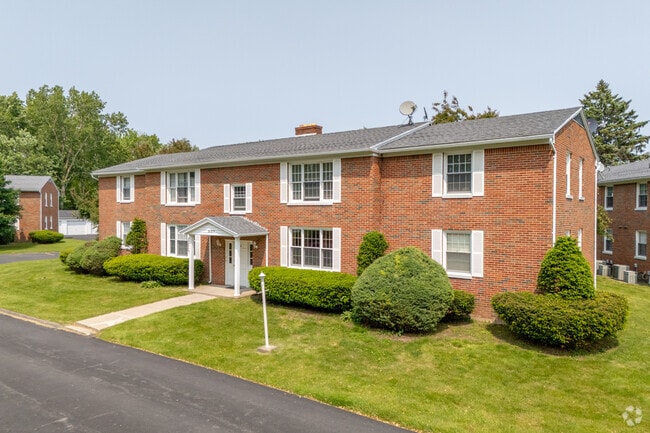


Property Detail
515 Locust St
290900-123-006-0002-033-000
NIAGARA
Apartment
New York
R1
33.000
B and X Area of moderate flood hazard, usually the area between the limits of the 100-year and 500-year floods.
6.30 AC
2025
Outlying Niagara County
2024
Buffalo/Niagara Falls
023901
Buffalo-Cheektowaga, NY
4,948 SF
NEARBY LISTINGS FOR SALE OR LEASE
DEMOGRAPHICS near 515 Locust St
1 mile
3 mile
5 mile
2025 Total Population
10,662
34,253
44,666
2030 Population
10,500
33,902
44,233
Pop Growth 2025-2030
(1.52%)
(1.02%)
(0.97%)
Average Age
42
42
42
2025 Total Households
4,769
15,182
19,249
HH Growth 2025-2030
(1.53%)
(1.01%)
(0.97%)
Median Household Inc
$71,711
$64,071
$69,646
Avg Household Size
2.20
2.20
2.30
2025 Avg HH Vehicles
2.00
2.00
2.00
Median Home Value
$166,937
$157,146
$181,550
Median Year Built
1951
1963
1969
Nearby Places
Map Layers
Map Styles
 Street
 Aerial
Transit
 Traffic
 Biking
Places
Listings with unknown addresses are not visible on the map
- Restaurants
- Banks
- Shops
- Fitness
- Groceries
PUBLIC TRANSPORTATION
AIRPORT
Buffalo Niagara International
Drive
Walk
Distance
Buffalo Niagara International
26 min
16.9 mi
Niagara Falls International
Drive
Walk
Distance
Niagara Falls International
27 min
17.1 mi
Freight Ports
Albany, NY Port
Drive
Walk
Distance
Albany, NY Port
343 min
288.0 mi
Nearby Properties
Address
Land Use
TOTAL SIZE
Lot Size
Zoning
Address
Land Use
TOTAL SIZE
Lot Size
Zoning
198.40 AC
Address
Land Use
TOTAL SIZE
Lot Size
Zoning
78,240 SF
330.20 AC
I3
Address
Land Use
TOTAL SIZE
Lot Size
Zoning
Address
Land Use
TOTAL SIZE
Lot Size
Zoning
90,347 SF
18.67 AC
B-2
Address
Land Use
TOTAL SIZE
Lot Size
Zoning
65,184 SF
100.76 AC
B-2
Address
Land Use
TOTAL SIZE
Lot Size
Zoning
259,393 SF
33.74 AC
RA
Address
Land Use
TOTAL SIZE
Lot Size
Zoning
516 SF
53.70 AC
Address
Land Use
TOTAL SIZE
Lot Size
Zoning
90.60 AC
AR
Address
Land Use
TOTAL SIZE
Lot Size
Zoning
4,417 SF
61.30 AC
Address
Land Use
TOTAL SIZE
Lot Size
Zoning
206,149 SF
17.86 AC
B-2
Address
Land Use
TOTAL SIZE
Lot Size
Zoning
660 SF
0.99 AC
R3
Address
Land Use
TOTAL SIZE
Lot Size
Zoning
8,604 SF
15 AC
R-2
Address
Land Use
TOTAL SIZE
Lot Size
Zoning
13,828 SF
48.06 AC
I3
Address
Land Use
TOTAL SIZE
Lot Size
Zoning
119,070 SF
21.99 AC
RA
Address
Land Use
TOTAL SIZE
Lot Size
Zoning
111,617 SF
16.83 AC
RA
Address
Land Use
TOTAL SIZE
Lot Size
Zoning
130,160 SF
13 AC
B-2
Address
Land Use
TOTAL SIZE
Lot Size
Zoning
108,630 SF
0.77 AC
B2
Address
Land Use
TOTAL SIZE
Lot Size
Zoning
760 SF
7.82 AC
R1
Address
Land Use
TOTAL SIZE
Lot Size
Zoning
67,111 SF
3.22 AC
B2
Address
Land Use
TOTAL SIZE
Lot Size
Zoning
25,758 SF
4.06 AC
B3
Address
Land Use
TOTAL SIZE
Lot Size
Zoning
130,946 SF
11.10 AC
B-2
Address
Land Use
TOTAL SIZE
Lot Size
Zoning
115,228 SF
10.90 AC
Address
Land Use
TOTAL SIZE
Lot Size
Zoning
Address
Land Use
TOTAL SIZE
Lot Size
Zoning
24,103 SF
74.12 AC
Address
Land Use
TOTAL SIZE
Lot Size
Zoning
140,048 SF
13.60 AC
B-2
Address
Land Use
TOTAL SIZE
Lot Size
Zoning
16,282 SF
4.90 AC
R3
Address
Land Use
TOTAL SIZE
Lot Size
Zoning
62,310 SF
6.39 AC
R3
Address
Land Use
TOTAL SIZE
Lot Size
Zoning
46,341 SF
5.33 AC
R1
Address
Land Use
TOTAL SIZE
Lot Size
Zoning
7,692 SF
3.82 AC
R3
Address
Land Use
TOTAL SIZE
Lot Size
Zoning
27.12 AC
The World's #1 Commercial Real Estate Marketplace
Connect with us
© 2026 CoStar Group
The information above has been obtained from sources believed reliable. While we do not doubt its accuracy we have not verified it and make no guarantee, warranty or representation about it. It is your responsibility to independently confirm its accuracy and completeness. Any projections, opinions, assumptions, or estimates used are for example only and do not represent the current or future performance of the property. The value of this transaction to you depends on tax and other factors which should be evaluated by your tax, financial, and legal advisors. You and your advisors should conduct a careful, independent investigation of the property to determine to your satisfaction the suitability of the property for your needs.