Property Record
1020 Manhattan Blvd, Harvey, LA 70058
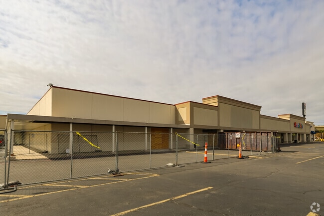


Property Detail
1020 Manhattan Blvd
New Orleans-Metairie, LA
Gardere Plant
0300004026
LOT 43-B-10 GARDERE PLANT
Miscpropertynotclassed
Jefferson
X
Louisiana
22051C0215F
43b1
2024
2.30 AC
2024
Westbank
026100
New Orleans/Metairie/Kenner
NEARBY LISTINGS FOR SALE OR LEASE
DEMOGRAPHICS near 1020 Manhattan Blvd
1 mile
3 mile
5 mile
2024 Total Population
14,339
124,557
324,407
2029 Population
13,867
120,191
313,065
Pop Growth 2024-2029
(3.29%)
(3.51%)
(3.50%)
Average Age
38
40
40
2024 Total Households
5,668
53,573
137,216
HH Growth 2024-2029
(3.44%)
(3.55%)
(3.42%)
Median Household Inc
$34,792
$53,225
$53,973
Avg Household Size
2.40
2.20
2.20
2024 Avg HH Vehicles
1.00
1.00
1.00
Median Home Value
$166,616
$231,123
$243,270
Median Year Built
1967
1967
1964
Nearby Places
Map Layers
Map Styles
 Street
 Aerial
Transit
 Traffic
 Biking
Places
Listings with unknown addresses are not visible on the map
- Restaurants
- Banks
- Shops
- Fitness
- Groceries
PUBLIC TRANSPORTATION
COMMUTER RAIL
Drive
Walk
Distance
11 min
6.4 mi
AIRPORT
Louis Armstrong New Orleans International
Drive
Walk
Distance
Louis Armstrong New Orleans International
29 min
20.7 mi
Freight Ports
Plaquemines Port
Drive
Walk
Distance
Plaquemines Port
12 min
6.3 mi
SALE & LEASE HISTORY
LISTING DATE
SALE/LEASE

Oct 04, 2022
For Lease
Nearby Properties
Address
Land Use
TOTAL SIZE
Lot Size
Zoning
Address
Land Use
TOTAL SIZE
Lot Size
Zoning
44.43 AC
CBD-4
Address
Land Use
TOTAL SIZE
Lot Size
Zoning
3.66 AC
MC
Address
Land Use
TOTAL SIZE
Lot Size
Zoning
0.12 AC
Address
Land Use
TOTAL SIZE
Lot Size
Zoning
Address
Land Use
TOTAL SIZE
Lot Size
Zoning
512,729 SF
6.60 AC
Address
Land Use
TOTAL SIZE
Lot Size
Zoning
0.67 AC
CBD-3
Address
Land Use
TOTAL SIZE
Lot Size
Zoning
0.14 AC
Address
Land Use
TOTAL SIZE
Lot Size
Zoning
4.12 AC
Address
Land Use
TOTAL SIZE
Lot Size
Zoning
25.26 AC
Address
Land Use
TOTAL SIZE
Lot Size
Zoning
121,349 SF
0.85 AC
CBD-3
Address
Land Use
TOTAL SIZE
Lot Size
Zoning
Address
Land Use
TOTAL SIZE
Lot Size
Zoning
151,320 SF
27.55 AC
Address
Land Use
TOTAL SIZE
Lot Size
Zoning
222,425 SF
1.11 AC
CBD-6
Address
Land Use
TOTAL SIZE
Lot Size
Zoning
23.90 AC
Address
Land Use
TOTAL SIZE
Lot Size
Zoning
0.23 AC
Address
Land Use
TOTAL SIZE
Lot Size
Zoning
1.27 AC
HU-RM1
Address
Land Use
TOTAL SIZE
Lot Size
Zoning
188,935 SF
1.12 AC
CBD-6
Address
Land Use
TOTAL SIZE
Lot Size
Zoning
0.17 AC
Address
Land Use
TOTAL SIZE
Lot Size
Zoning
2.09 AC
HU-RD2
Address
Land Use
TOTAL SIZE
Lot Size
Zoning
3.46 AC
HU-RD2
Address
Land Use
TOTAL SIZE
Lot Size
Zoning
3.55 AC
Address
Land Use
TOTAL SIZE
Lot Size
Zoning
12.79 AC
Address
Land Use
TOTAL SIZE
Lot Size
Zoning
14.69 AC
Address
Land Use
TOTAL SIZE
Lot Size
Zoning
207,220 SF
0.40 AC
CBD-2
Address
Land Use
TOTAL SIZE
Lot Size
Zoning
495,542 SF
6.67 AC
HU-RM2
Address
Land Use
TOTAL SIZE
Lot Size
Zoning
Address
Land Use
TOTAL SIZE
Lot Size
Zoning
0.16 AC
Address
Land Use
TOTAL SIZE
Lot Size
Zoning
0.19 AC
Address
Land Use
TOTAL SIZE
Lot Size
Zoning
21.96 AC
MUCD
Address
Land Use
TOTAL SIZE
Lot Size
Zoning
127,120 SF
1.09 AC
CBD-5
The World's #1 Commercial Real Estate Marketplace
Connect with us
© 2026 CoStar Group
The information above has been obtained from sources believed reliable. While we do not doubt its accuracy we have not verified it and make no guarantee, warranty or representation about it. It is your responsibility to independently confirm its accuracy and completeness. Any projections, opinions, assumptions, or estimates used are for example only and do not represent the current or future performance of the property. The value of this transaction to you depends on tax and other factors which should be evaluated by your tax, financial, and legal advisors. You and your advisors should conduct a careful, independent investigation of the property to determine to your satisfaction the suitability of the property for your needs.