Property Record
8402 Oak St, New Orleans, LA 70118


Property Detail
8402 Oak St
New Orleans-Metairie, LA
SQ 137 LOT C OAK & CAMBRONNE 60 X 120
7-16-1-108-05
ORLEANS
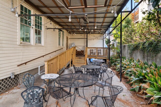
Restaurantbuilding
Louisiana
HU-MU
c
2024
0.17 AC
2025
Uptown/Garden District
012700
New Orleans/Metairie/Kenner
3,947 SF
NEARBY LISTINGS FOR SALE OR LEASE
DEMOGRAPHICS near 8402 Oak St
1 mile
3 mile
5 mile
2025 Total Population
19,700
128,302
341,583
2030 Population
19,096
124,818
334,349
Pop Growth 2025-2030
(3.07%)
(2.72%)
(2.12%)
Average Age
37
41
42
2025 Total Households
7,550
55,710
156,619
HH Growth 2025-2030
(3.70%)
(3.08%)
(2.23%)
Median Household Inc
$77,014
$70,921
$65,276
Avg Household Size
2.00
2.10
2.10
2025 Avg HH Vehicles
1.00
1.00
1.00
Median Home Value
$456,864
$429,905
$362,784
Median Year Built
1946
1948
1958
Nearby Places
Map Layers
Map Styles
 Street
 Aerial
Layers
 Traffic
 Biking
Places
Listings with unknown addresses are not visible on the map
- Restaurants
- Banks
- Shops
- Fitness
- Groceries
PUBLIC TRANSPORTATION
TRANSIT/SUBWAY
Carrollton and Oak (St. Charles Streetcar - New Orleans Regional Transit Authority Streetcars (New Orleans Streetcars))
Drive
Walk
Distance
Carrollton and Oak (St. Charles Streetcar - New Orleans Regional Transit Authority Streetcars (New Orleans Streetcars))
0 min
5 min
0.2 mi
Carrollton and Freret (St. Charles Streetcar - New Orleans Regional Transit Authority Streetcars (New Orleans Streetcars))
Drive
Walk
Distance
Carrollton and Freret (St. Charles Streetcar - New Orleans Regional Transit Authority Streetcars (New Orleans Streetcars))
1 min
6 min
0.3 mi
Carrollton and Willow (St. Charles Streetcar - New Orleans Regional Transit Authority Streetcars (New Orleans Streetcars))
Drive
Walk
Distance
Carrollton and Willow (St. Charles Streetcar - New Orleans Regional Transit Authority Streetcars (New Orleans Streetcars))
1 min
7 min
0.4 mi
Carrollton and Maple (St. Charles Streetcar - New Orleans Regional Transit Authority Streetcars (New Orleans Streetcars))
Drive
Walk
Distance
Carrollton and Maple (St. Charles Streetcar - New Orleans Regional Transit Authority Streetcars (New Orleans Streetcars))
2 min
9 min
0.5 mi
COMMUTER RAIL
Drive
Walk
Distance
10 min
4.9 mi
AIRPORT
Louis Armstrong New Orleans International
Drive
Walk
Distance
Louis Armstrong New Orleans International
23 min
12.8 mi
Freight Ports
Port of New Orleans
Drive
Walk
Distance
Port of New Orleans
16 min
6.8 mi
SALE & LEASE HISTORY
LISTING DATE
SALE/LEASE

Jan 04, 2024
For Lease
Nearby Properties
Address
Land Use
TOTAL SIZE
Lot Size
Zoning
Address
Land Use
TOTAL SIZE
Lot Size
Zoning
85,052 SF
2.19 AC
LS
Address
Land Use
TOTAL SIZE
Lot Size
Zoning
80.92 AC
EC
Address
Land Use
TOTAL SIZE
Lot Size
Zoning
27.59 AC
Address
Land Use
TOTAL SIZE
Lot Size
Zoning
468,704 SF
8.66 AC
MC
Address
Land Use
TOTAL SIZE
Lot Size
Zoning
3.66 AC
MC
Address
Land Use
TOTAL SIZE
Lot Size
Zoning
197,182 SF
0.01 AC
OS-R
Address
Land Use
TOTAL SIZE
Lot Size
Zoning
0.14 AC
Address
Land Use
TOTAL SIZE
Lot Size
Zoning
0.14 AC
Address
Land Use
TOTAL SIZE
Lot Size
Zoning
0.16 AC
Address
Land Use
TOTAL SIZE
Lot Size
Zoning
609,449 SF
1 AC
EC
Address
Land Use
TOTAL SIZE
Lot Size
Zoning
35.06 AC
Address
Land Use
TOTAL SIZE
Lot Size
Zoning
3.36 AC
EC
Address
Land Use
TOTAL SIZE
Lot Size
Zoning
315,570 SF
4.42 AC
HU-RM2
Address
Land Use
TOTAL SIZE
Lot Size
Zoning
2.20 AC
EC
Address
Land Use
TOTAL SIZE
Lot Size
Zoning
63.72 AC
OS-N
Address
Land Use
TOTAL SIZE
Lot Size
Zoning
0.08 AC
Address
Land Use
TOTAL SIZE
Lot Size
Zoning
Address
Land Use
TOTAL SIZE
Lot Size
Zoning
66.97 AC
LI
Address
Land Use
TOTAL SIZE
Lot Size
Zoning
Address
Land Use
TOTAL SIZE
Lot Size
Zoning
11.29 AC
HU-RD1
Address
Land Use
TOTAL SIZE
Lot Size
Zoning
20.13 AC
EC
Address
Land Use
TOTAL SIZE
Lot Size
Zoning
Address
Land Use
TOTAL SIZE
Lot Size
Zoning
25,744 SF
14.18 AC
LI
Address
Land Use
TOTAL SIZE
Lot Size
Zoning
0.05 AC
MS
Address
Land Use
TOTAL SIZE
Lot Size
Zoning
2.65 AC
MC
Address
Land Use
TOTAL SIZE
Lot Size
Zoning
9.02 AC
HU-RD2
Address
Land Use
TOTAL SIZE
Lot Size
Zoning
7,468 SF
8.13 AC
HU-RD2
Address
Land Use
TOTAL SIZE
Lot Size
Zoning
39,963 SF
110.36 AC
OS-N
Address
Land Use
TOTAL SIZE
Lot Size
Zoning
1.27 AC
HU-RM1
Address
Land Use
TOTAL SIZE
Lot Size
Zoning
96,000 SF
1.85 AC
HU-RD2
The World's #1 Commercial Real Estate Marketplace
Connect with us
© 2026 CoStar Group
The information above has been obtained from sources believed reliable. While we do not doubt its accuracy we have not verified it and make no guarantee, warranty or representation about it. It is your responsibility to independently confirm its accuracy and completeness. Any projections, opinions, assumptions, or estimates used are for example only and do not represent the current or future performance of the property. The value of this transaction to you depends on tax and other factors which should be evaluated by your tax, financial, and legal advisors. You and your advisors should conduct a careful, independent investigation of the property to determine to your satisfaction the suitability of the property for your needs.