Log In/Sign Up
Your email has been sent.
1901 Kruchten Ct S
Sartell, MN 56377
Office Property For Sale


Investment Highlights
- Easily accessible.
Executive Summary
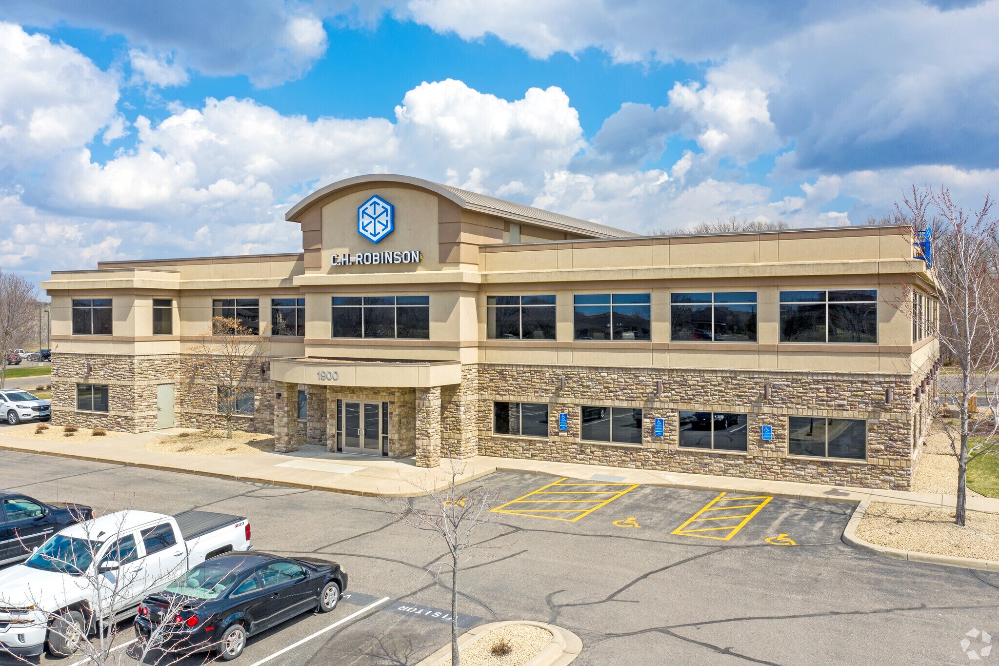
SVN GC Real Estate is proud to present Legacy Park, a 23,598-square-foot Class B office property ideally located near Highway 15 in Sartell, Minnesota. Offering 22,597 rentable square feet, the building is currently 100% leased, providing investors with immediate income and long-term stability. Zoned B3 for Medical and Professional use, Legacy Park was originally built in 2006 and underwent a renovation in 2024, resulting in modern finishes that enhance its appeal. Positioned in a thriving business corridor with excellent accessibility, this property combines a strong occupancy history with a strategic location, making it an exceptional opportunity for investors seeking consistent returns and lasting value in the commercial real estate market.
Property Facts
Sale Type
Investment
Property Type
Office
Building Size
23,598 SF
Building Class
C
Year Built
2006
Price
$4,199,406
Price Per SF
$177.96
Percent Leased
100%
Tenancy
Multiple
Building Height
2 Stories
Typical Floor Size
11,799 SF
Slab To Slab
14’
Building FAR
0.31
Lot Size
1.74 AC
Zoning
Commercial
Parking
127 Spaces (3.81 Spaces per 1,000 SF Leased)
Amenities
- Signage
Property Taxes
| Parcel Number | 92570440927 | Improvements Assessment | $2,316,100 |
| Land Assessment | $463,100 | Total Assessment | $2,779,200 |
Property Taxes
Parcel Number
92570440927
Land Assessment
$463,100
Improvements Assessment
$2,316,100
Total Assessment
$2,779,200
1 of 14
Videos
Matterport 3D Exterior
Matterport 3D Tour
Photos
Street View
Street
Map