Property Record
2011 E Belt Line Rd, Carrollton, TX 75006
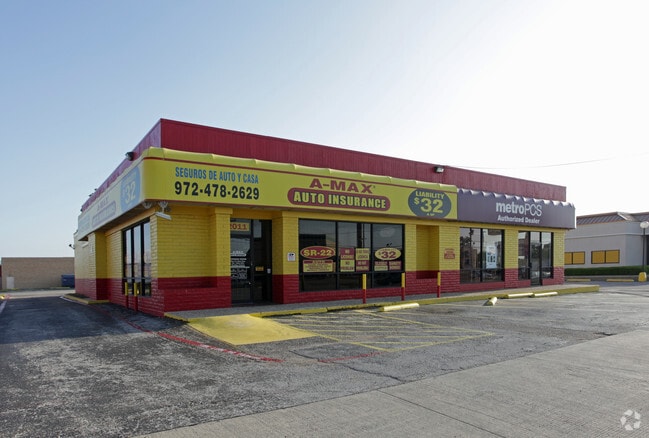

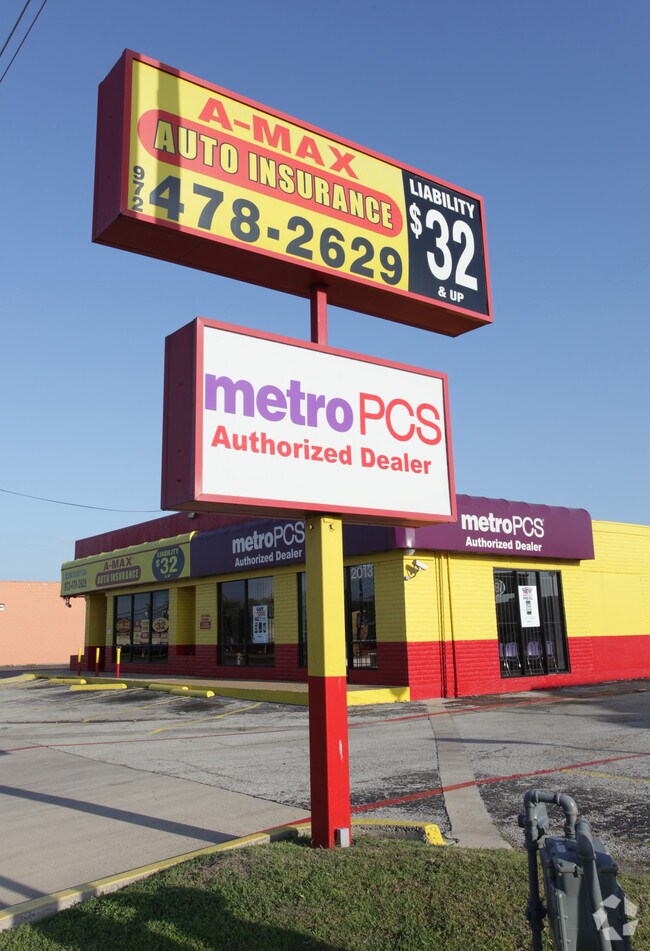
Property Detail
2011 E Belt Line Rd
65093986510170000
JOHN M MYERS ABST 939 PG 865 TR 17 ACS 0.5241 INT202400001819 DD12182023 CO-DC 0939865101700 9CC09398651
Storebuilding
DALLAS
Z123
Texas
B and X Area of moderate flood hazard, usually the area between the limits of the 100-year and 500-year floods.
0.52 AC
2024
South Carrollton
2025
Dallas/Ft Worth
020700
Dallas-Fort Worth-Arlington, TX
4,884 SF
NEARBY LISTINGS FOR SALE OR LEASE
DEMOGRAPHICS near 2011 E Belt Line Rd
1 mile
3 mile
5 mile
2024 Total Population
16,182
98,525
341,828
2029 Population
16,570
102,008
361,141
Pop Growth 2024-2029
+ 2.40%
+ 3.54%
+ 5.65%
Average Age
35
39
38
2024 Total Households
4,740
38,471
147,015
HH Growth 2024-2029
+ 2.45%
+ 3.67%
+ 5.89%
Median Household Inc
$72,676
$86,316
$89,655
Avg Household Size
3.20
2.50
2.30
2024 Avg HH Vehicles
2.00
2.00
2.00
Median Home Value
$256,713
$352,320
$421,648
Median Year Built
1968
1980
1986
Nearby Places
Map Layers
Map Styles
 Street
 Aerial
Transit
 Traffic
 Biking
Places
Listings with unknown addresses are not visible on the map
- Restaurants
- Banks
- Shops
- Fitness
- Groceries
PUBLIC TRANSPORTATION
COMMUTER RAIL
Trinity Mills Station (Green Line - Dallas Area Rapid Transit (DART))
Drive
Walk
Distance
Trinity Mills Station (Green Line - Dallas Area Rapid Transit (DART))
8 min
3.8 mi
Drive
Walk
Distance
13 min
7.7 mi
AIRPORT
Dallas Love Field
Drive
Walk
Distance
Dallas Love Field
24 min
14.1 mi
Dallas-Fort Worth International
Drive
Walk
Distance
Dallas-Fort Worth International
24 min
16.7 mi
Nearby Properties
Address
Land Use
TOTAL SIZE
Lot Size
Zoning
Address
Land Use
TOTAL SIZE
Lot Size
Zoning
174,718 SF
186.51 AC
Address
Land Use
TOTAL SIZE
Lot Size
Zoning
597,347 SF
4.40 AC
Z09
Address
Land Use
TOTAL SIZE
Lot Size
Zoning
113,688 SF
72.86 AC
Z274
Address
Land Use
TOTAL SIZE
Lot Size
Zoning
284,890 SF
40.44 AC
Z274
Address
Land Use
TOTAL SIZE
Lot Size
Zoning
561,139 SF
3.64 AC
Z09
Address
Land Use
TOTAL SIZE
Lot Size
Zoning
605,278 SF
10.70 AC
Z236
Address
Land Use
TOTAL SIZE
Lot Size
Zoning
660,842 SF
4.82 AC
Z09
Address
Land Use
TOTAL SIZE
Lot Size
Zoning
584,128 SF
3.51 AC
Z241
Address
Land Use
TOTAL SIZE
Lot Size
Zoning
513,871 SF
3.63 AC
Z235
Address
Land Use
TOTAL SIZE
Lot Size
Zoning
534,929 SF
4.19 AC
Z236
Address
Land Use
TOTAL SIZE
Lot Size
Zoning
381,727 SF
49.51 AC
Z395
Address
Land Use
TOTAL SIZE
Lot Size
Zoning
321,732 SF
4.05 AC
Z235
Address
Land Use
TOTAL SIZE
Lot Size
Zoning
255,627 SF
14.79 AC
Z123
Address
Land Use
TOTAL SIZE
Lot Size
Zoning
315,426 SF
3.52 AC
Z241
Address
Land Use
TOTAL SIZE
Lot Size
Zoning
585,173 SF
7.66 AC
Z236
Address
Land Use
TOTAL SIZE
Lot Size
Zoning
266,871 SF
87 SF
Address
Land Use
TOTAL SIZE
Lot Size
Zoning
725,972 SF
4 AC
Address
Land Use
TOTAL SIZE
Lot Size
Zoning
497,851 SF
3.34 AC
Z241
Address
Land Use
TOTAL SIZE
Lot Size
Zoning
308,779 SF
19.42 AC
Z235
Address
Land Use
TOTAL SIZE
Lot Size
Zoning
268,132 SF
16.19 AC
Z235
Address
Land Use
TOTAL SIZE
Lot Size
Zoning
285,576 SF
22.13 AC
Z236
Address
Land Use
TOTAL SIZE
Lot Size
Zoning
270,915 SF
3.91 AC
Z84
Address
Land Use
TOTAL SIZE
Lot Size
Zoning
396,899 SF
3.68 AC
Z236
Address
Land Use
TOTAL SIZE
Lot Size
Zoning
330,000 SF
3.05 AC
Z236
Address
Land Use
TOTAL SIZE
Lot Size
Zoning
374,093 SF
21.54 AC
Z268
Address
Land Use
TOTAL SIZE
Lot Size
Zoning
210,289 SF
10.16 AC
Z147
Address
Land Use
TOTAL SIZE
Lot Size
Zoning
264,847 SF
14.26 AC
Z236
Address
Land Use
TOTAL SIZE
Lot Size
Zoning
300,956 SF
8.79 AC
Z236
Address
Land Use
TOTAL SIZE
Lot Size
Zoning
228,674 SF
11.81 AC
Z235
Address
Land Use
TOTAL SIZE
Lot Size
Zoning
332,512 SF
17.65 AC
Z236
The World's #1 Commercial Real Estate Marketplace
Connect with us
© 2026 CoStar Group
The information above has been obtained from sources believed reliable. While we do not doubt its accuracy we have not verified it and make no guarantee, warranty or representation about it. It is your responsibility to independently confirm its accuracy and completeness. Any projections, opinions, assumptions, or estimates used are for example only and do not represent the current or future performance of the property. The value of this transaction to you depends on tax and other factors which should be evaluated by your tax, financial, and legal advisors. You and your advisors should conduct a careful, independent investigation of the property to determine to your satisfaction the suitability of the property for your needs.