Property Record
10700 E Tanque Verde Rd, Tucson, AZ 85749


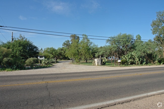

Property Detail
10700 E Tanque Verde Rd
133-02-041E
PTN N622.58 W492.93 LOT 2 LYG S & ADJ RD 5.71 AC SEC 1-14-15
Miscresidentialimprovement
Pima
SR
Arizona
AE The base floodplain where base flood elevations are provided. AE Zones are now used on new format FIRMs instead of A1-A30 Zones.
2
2025
5.71 AC
2026
Tanque Verde
005300
Tucson
8,133 SF
Tucson, AZ
NEARBY LISTINGS FOR SALE OR LEASE
-
-
View all Tucson listings for sale on LoopNet.com
DEMOGRAPHICS near 10700 E Tanque Verde Rd
1 mile
3 mile
5 mile
2024 Total Population
1,609
36,856
107,633
2029 Population
1,633
37,568
110,121
Pop Growth 2024-2029
+ 1.49%
+ 1.93%
+ 2.31%
Average Age
45
46
45
2024 Total Households
650
15,771
48,730
HH Growth 2024-2029
+ 1.69%
+ 2.03%
+ 2.47%
Median Household Inc
$109,410
$101,669
$80,894
Avg Household Size
2.40
2.30
2.20
2024 Avg HH Vehicles
2.00
2.00
2.00
Median Home Value
$616,666
$435,847
$381,135
Median Year Built
1979
1985
1981
Nearby Places
Map Layers
Map Styles
 Street
 Aerial
Transit
 Traffic
 Biking
Places
Listings with unknown addresses are not visible on the map
- Restaurants
- Banks
- Shops
- Fitness
- Groceries
PUBLIC TRANSPORTATION
AIRPORT
Tucson International
Drive
Walk
Distance
Tucson International
35 min
19.3 mi
Nearby Properties
Address
Land Use
TOTAL SIZE
Lot Size
Zoning
Address
Land Use
TOTAL SIZE
Lot Size
Zoning
96,125 SF
15.38 AC
SR
Address
Land Use
TOTAL SIZE
Lot Size
Zoning
322,009 SF
17.96 AC
Address
Land Use
TOTAL SIZE
Lot Size
Zoning
109,604 SF
17.64 AC
SR
Address
Land Use
TOTAL SIZE
Lot Size
Zoning
253,982 SF
12.14 AC
SR
Address
Land Use
TOTAL SIZE
Lot Size
Zoning
76,253 SF
7.19 AC
C1
Address
Land Use
TOTAL SIZE
Lot Size
Zoning
21,928 SF
41.39 AC
SR
Address
Land Use
TOTAL SIZE
Lot Size
Zoning
180,114 SF
8.43 AC
R3
Address
Land Use
TOTAL SIZE
Lot Size
Zoning
195,050 SF
10.56 AC
CR1
Address
Land Use
TOTAL SIZE
Lot Size
Zoning
141,730 SF
10.10 AC
C1
Address
Land Use
TOTAL SIZE
Lot Size
Zoning
134,062 SF
5.71 AC
R3
Address
Land Use
TOTAL SIZE
Lot Size
Zoning
96,977 SF
10.33 AC
C1
Address
Land Use
TOTAL SIZE
Lot Size
Zoning
5,856 SF
23.80 AC
SR
Address
Land Use
TOTAL SIZE
Lot Size
Zoning
118,416 SF
7.26 AC
C1
Address
Land Use
TOTAL SIZE
Lot Size
Zoning
143,371 SF
6.29 AC
C1
Address
Land Use
TOTAL SIZE
Lot Size
Zoning
135,253 SF
6.32 AC
R3
Address
Land Use
TOTAL SIZE
Lot Size
Zoning
62,928 SF
39.69 AC
SR
Address
Land Use
TOTAL SIZE
Lot Size
Zoning
100,172 SF
6.97 AC
C1
Address
Land Use
TOTAL SIZE
Lot Size
Zoning
101,092 SF
12.58 AC
Address
Land Use
TOTAL SIZE
Lot Size
Zoning
74,872 SF
6.89 AC
C1
Address
Land Use
TOTAL SIZE
Lot Size
Zoning
35,160 SF
16.39 AC
SR
Address
Land Use
TOTAL SIZE
Lot Size
Zoning
84,768 SF
5.71 AC
R3
Address
Land Use
TOTAL SIZE
Lot Size
Zoning
110,939 SF
4.97 AC
O3
Address
Land Use
TOTAL SIZE
Lot Size
Zoning
98,289 SF
4.33 AC
O3
Address
Land Use
TOTAL SIZE
Lot Size
Zoning
13,977 SF
11.55 AC
C1
Address
Land Use
TOTAL SIZE
Lot Size
Zoning
2.16 AC
Address
Land Use
TOTAL SIZE
Lot Size
Zoning
1,931 SF
32.36 AC
SR
Address
Land Use
TOTAL SIZE
Lot Size
Zoning
14,239 SF
9.55 AC
C1
Address
Land Use
TOTAL SIZE
Lot Size
Zoning
53,616 SF
8.91 AC
C1
Address
Land Use
TOTAL SIZE
Lot Size
Zoning
6,089 SF
8.85 AC
SR
Address
Land Use
TOTAL SIZE
Lot Size
Zoning
38,900 SF
3.48 AC
C1
The World's #1 Commercial Real Estate Marketplace
Connect with us
© 2026 CoStar Group
The information above has been obtained from sources believed reliable. While we do not doubt its accuracy we have not verified it and make no guarantee, warranty or representation about it. It is your responsibility to independently confirm its accuracy and completeness. Any projections, opinions, assumptions, or estimates used are for example only and do not represent the current or future performance of the property. The value of this transaction to you depends on tax and other factors which should be evaluated by your tax, financial, and legal advisors. You and your advisors should conduct a careful, independent investigation of the property to determine to your satisfaction the suitability of the property for your needs.