Property Record
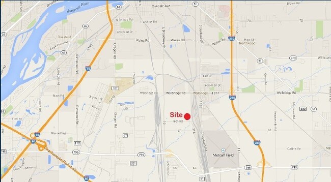
29501 Luckey Rd, Walbridge, OH 43465


Property Detail
29501 Luckey Rd
H28-712-080000026000
EPT E1/2 NW SE N OF CK LESS N368
Commercialnec
WOOD
A Areas with a 1% annual chance of flooding and a 26% chance of flooding over the life of a 30-year mortgage.
Ohio
2025
4.09 AC
2025
Perrysburg/Northwood
020800
Toledo
16,000 SF
Toledo, OH
NEARBY LISTINGS FOR SALE OR LEASE
DEMOGRAPHICS near 29501 Luckey Rd
1 mile
3 mile
5 mile
2025 Total Population
1,518
15,058
68,660
2030 Population
1,534
15,279
69,041
Pop Growth 2025-2030
+ 1.05%
+ 1.47%
+ 0.55%
Average Age
43
41
40
2025 Total Households
701
6,690
28,498
HH Growth 2025-2030
+ 1.00%
+ 1.43%
+ 0.46%
Median Household Inc
$66,551
$66,108
$57,371
Avg Household Size
2.10
2.20
2.30
2025 Avg HH Vehicles
2.00
2.00
2.00
Median Home Value
$152,422
$154,689
$146,148
Median Year Built
1967
1979
1961
Nearby Places
Map Layers
Map Styles
 Street
 Aerial
Layers
 Traffic
 Biking
Places
Listings with unknown addresses are not visible on the map
- Restaurants
- Banks
- Shops
- Fitness
- Groceries
PUBLIC TRANSPORTATION
COMMUTER RAIL
Drive
Walk
Distance
15 min
6.7 mi
AIRPORT
Eugene F Kranz Toledo Express
Drive
Walk
Distance
Eugene F Kranz Toledo Express
42 min
25.1 mi
Freight Ports
Drive
Walk
Distance
21 min
9.6 mi
SALE & LEASE HISTORY
LISTING DATE
SALE/LEASE

Sep 26, 2016
For Lease
Nearby Properties
Address
Land Use
TOTAL SIZE
Lot Size
Zoning
Address
Land Use
TOTAL SIZE
Lot Size
Zoning
288,140 SF
248.70 AC
Address
Land Use
TOTAL SIZE
Lot Size
Zoning
1,445,856 SF
73.62 AC
Address
Land Use
TOTAL SIZE
Lot Size
Zoning
1,085,620 SF
76.95 AC
Address
Land Use
TOTAL SIZE
Lot Size
Zoning
505,362 SF
111.51 AC
Address
Land Use
TOTAL SIZE
Lot Size
Zoning
1,607,895 SF
8 AC
Address
Land Use
TOTAL SIZE
Lot Size
Zoning
304,392 SF
17.38 AC
Address
Land Use
TOTAL SIZE
Lot Size
Zoning
497,181 SF
50.37 AC
Address
Land Use
TOTAL SIZE
Lot Size
Zoning
261,715 SF
32.11 AC
Address
Land Use
TOTAL SIZE
Lot Size
Zoning
165,710 SF
21.61 AC
Address
Land Use
TOTAL SIZE
Lot Size
Zoning
136,090 SF
4 AC
Address
Land Use
TOTAL SIZE
Lot Size
Zoning
486,615 SF
45.39 AC
Address
Land Use
TOTAL SIZE
Lot Size
Zoning
2,135,540 SF
67.72 AC
Address
Land Use
TOTAL SIZE
Lot Size
Zoning
73,324 SF
16.80 AC
Address
Land Use
TOTAL SIZE
Lot Size
Zoning
392,037 SF
21.94 AC
Address
Land Use
TOTAL SIZE
Lot Size
Zoning
431,435 SF
13.74 AC
Address
Land Use
TOTAL SIZE
Lot Size
Zoning
170,760 SF
51.98 AC
Address
Land Use
TOTAL SIZE
Lot Size
Zoning
226,046 SF
17.15 AC
Address
Land Use
TOTAL SIZE
Lot Size
Zoning
372,803 SF
51.86 AC
Address
Land Use
TOTAL SIZE
Lot Size
Zoning
228,251 SF
43.08 AC
10-RD6
Address
Land Use
TOTAL SIZE
Lot Size
Zoning
145,549 SF
3.07 AC
Address
Land Use
TOTAL SIZE
Lot Size
Zoning
170,391 SF
12.93 AC
Address
Land Use
TOTAL SIZE
Lot Size
Zoning
148,659 SF
12.89 AC
Address
Land Use
TOTAL SIZE
Lot Size
Zoning
159,802 SF
2.15 AC
Address
Land Use
TOTAL SIZE
Lot Size
Zoning
132,284 SF
22.10 AC
Address
Land Use
TOTAL SIZE
Lot Size
Zoning
331,416 SF
30.56 AC
Address
Land Use
TOTAL SIZE
Lot Size
Zoning
199,768 SF
16.15 AC
40-C2
Address
Land Use
TOTAL SIZE
Lot Size
Zoning
40,214 SF
43.55 AC
Address
Land Use
TOTAL SIZE
Lot Size
Zoning
229,500 SF
9.97 AC
Address
Land Use
TOTAL SIZE
Lot Size
Zoning
180,900 SF
5 AC
Address
Land Use
TOTAL SIZE
Lot Size
Zoning
106,525 SF
18.90 AC
The World's #1 Commercial Real Estate Marketplace
Connect with us
© 2026 CoStar Group
The information above has been obtained from sources believed reliable. While we do not doubt its accuracy we have not verified it and make no guarantee, warranty or representation about it. It is your responsibility to independently confirm its accuracy and completeness. Any projections, opinions, assumptions, or estimates used are for example only and do not represent the current or future performance of the property. The value of this transaction to you depends on tax and other factors which should be evaluated by your tax, financial, and legal advisors. You and your advisors should conduct a careful, independent investigation of the property to determine to your satisfaction the suitability of the property for your needs.