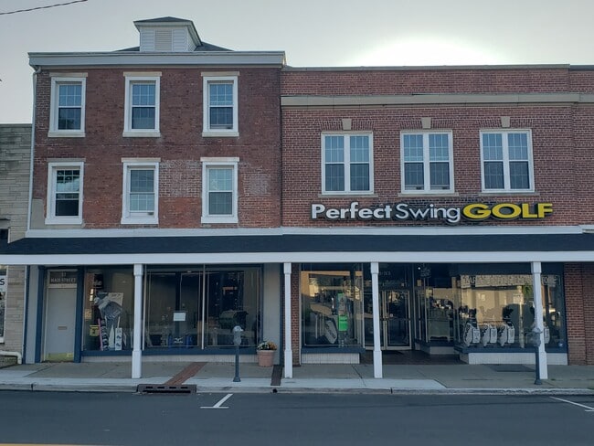
Property Record
31 Main St, Toms River, NJ 08753

Property Detail
31 Main St
08-00662-0000-00014
54X100
Commercialnec
Ocean
VB
New Jersey
B and X Area of moderate flood hazard, usually the area between the limits of the 100-year and 500-year floods.
23
2025
0.06 AC
2025
Ocean County
723600
Northern New Jersey
5,220 SF
Lakewood-New Brunswick, NJ
NEARBY LISTINGS FOR SALE OR LEASE
DEMOGRAPHICS near 31 Main St
1 mile
3 mile
5 mile
2024 Total Population
7,637
64,242
135,597
2029 Population
7,781
65,149
138,138
Pop Growth 2024-2029
+ 1.89%
+ 1.41%
+ 1.87%
Average Age
39
42
43
2024 Total Households
2,908
24,262
52,795
HH Growth 2024-2029
+ 1.34%
+ 0.85%
+ 1.33%
Median Household Inc
$92,649
$89,107
$85,149
Avg Household Size
2.50
2.50
2.40
2024 Avg HH Vehicles
2.00
2.00
2.00
Median Home Value
$365,221
$355,413
$352,513
Median Year Built
1968
1975
1977
Nearby Places
Map Layers
Map Styles
 Street
 Aerial
Transit
 Traffic
 Biking
Places
Listings with unknown addresses are not visible on the map
- Restaurants
- Banks
- Shops
- Fitness
- Groceries
SALE & LEASE HISTORY
LISTING DATE
SALE/LEASE

Mar 09, 2018
For Lease
Feb 22, 2022
For Lease
Nearby Properties
Address
Land Use
TOTAL SIZE
Lot Size
Zoning
Address
Land Use
TOTAL SIZE
Lot Size
Zoning
70.33 AC
RC
Address
Land Use
TOTAL SIZE
Lot Size
Zoning
14,748 SF
56.53 AC
MF8
Address
Land Use
TOTAL SIZE
Lot Size
Zoning
38.17 AC
HMS
Address
Land Use
TOTAL SIZE
Lot Size
Zoning
83.07 AC
R400
Address
Land Use
TOTAL SIZE
Lot Size
Zoning
22,175 SF
30.21 AC
RC
Address
Land Use
TOTAL SIZE
Lot Size
Zoning
15.67 AC
RC
Address
Land Use
TOTAL SIZE
Lot Size
Zoning
14,136 SF
11.85 AC
VO
Address
Land Use
TOTAL SIZE
Lot Size
Zoning
8,512 SF
25.67 AC
RC
Address
Land Use
TOTAL SIZE
Lot Size
Zoning
260 SF
326.26 AC
SPLT
Address
Land Use
TOTAL SIZE
Lot Size
Zoning
165,024 SF
22.43 AC
HB
Address
Land Use
TOTAL SIZE
Lot Size
Zoning
8.21 AC
VO
Address
Land Use
TOTAL SIZE
Lot Size
Zoning
8,968 SF
26.36 AC
RMF
Address
Land Use
TOTAL SIZE
Lot Size
Zoning
41,100 SF
14.63 AC
RC
Address
Land Use
TOTAL SIZE
Lot Size
Zoning
1,332 SF
13.76 AC
EM18
Address
Land Use
TOTAL SIZE
Lot Size
Zoning
18,890 SF
24.59 AC
SPLT
Address
Land Use
TOTAL SIZE
Lot Size
Zoning
11,304 SF
25.56 AC
MF8
Address
Land Use
TOTAL SIZE
Lot Size
Zoning
57,008 SF
8.85 AC
SPLT
Address
Land Use
TOTAL SIZE
Lot Size
Zoning
19,836 SF
13.03 AC
EM18
Address
Land Use
TOTAL SIZE
Lot Size
Zoning
7,436 SF
22.36 AC
MF8
Address
Land Use
TOTAL SIZE
Lot Size
Zoning
2,176 SF
22.96 AC
MF8
Address
Land Use
TOTAL SIZE
Lot Size
Zoning
15.68 AC
MF8
Address
Land Use
TOTAL SIZE
Lot Size
Zoning
2,549 SF
16.02 AC
RC
Address
Land Use
TOTAL SIZE
Lot Size
Zoning
3,997 SF
11.09 AC
RC
Address
Land Use
TOTAL SIZE
Lot Size
Zoning
129,411 SF
24.53 AC
RHB
Address
Land Use
TOTAL SIZE
Lot Size
Zoning
4,264 SF
189.71 AC
R400
Address
Land Use
TOTAL SIZE
Lot Size
Zoning
44.86 AC
SPLT
Address
Land Use
TOTAL SIZE
Lot Size
Zoning
6,098 SF
7.66 AC
EM18
Address
Land Use
TOTAL SIZE
Lot Size
Zoning
4,275 SF
5.47 AC
HMS
Address
Land Use
TOTAL SIZE
Lot Size
Zoning
9,874 SF
15.17 AC
RC
Address
Land Use
TOTAL SIZE
Lot Size
Zoning
1.98 AC
HB
The World's #1 Commercial Real Estate Marketplace
Connect with us
© 2026 CoStar Group
The information above has been obtained from sources believed reliable. While we do not doubt its accuracy we have not verified it and make no guarantee, warranty or representation about it. It is your responsibility to independently confirm its accuracy and completeness. Any projections, opinions, assumptions, or estimates used are for example only and do not represent the current or future performance of the property. The value of this transaction to you depends on tax and other factors which should be evaluated by your tax, financial, and legal advisors. You and your advisors should conduct a careful, independent investigation of the property to determine to your satisfaction the suitability of the property for your needs.