Property Record
1981 Hammond Square Dr, Hammond, LA 70403
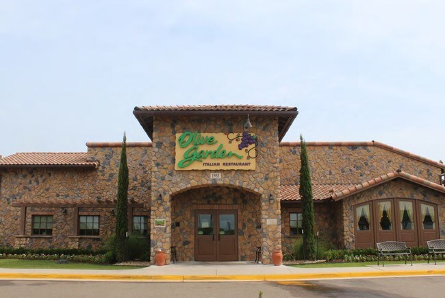


Property Detail
1981 Hammond Square Dr
Hammond, LA
1.59A BEING LOT 7A OF RESUB OF HAMMOND SQUARE SHOPPING CENTER IN SEC 36 T6SR7E B387 P110 B397 P537-540-544 B414 P805-859-863
06268137
Tangipahoa
Commercialnec
Louisiana
B and X Area of moderate flood hazard, usually the area between the limits of the 100-year and 500-year floods.
7a
2025
1.59 AC
2025
Louisiana South Area
954503
Other Market Areas
7,779 SF
NEARBY LISTINGS FOR SALE OR LEASE
DEMOGRAPHICS near 1981 Hammond Square Dr
1 mile
3 mile
5 mile
2024 Total Population
2,547
36,148
68,134
2029 Population
2,642
37,620
70,719
Pop Growth 2024-2029
+ 3.73%
+ 4.07%
+ 3.79%
Average Age
39
37
38
2024 Total Households
1,001
13,956
26,507
HH Growth 2024-2029
+ 3.90%
+ 4.33%
+ 4.01%
Median Household Inc
$38,880
$46,359
$54,575
Avg Household Size
2.30
2.40
2.40
2024 Avg HH Vehicles
2.00
2.00
2.00
Median Home Value
$193,703
$223,231
$236,895
Median Year Built
2002
1993
1996
Nearby Places
Map Layers
Map Styles
 Street
 Aerial
Transit
 Traffic
 Biking
Places
Listings with unknown addresses are not visible on the map
- Restaurants
- Banks
- Shops
- Fitness
- Groceries
PUBLIC TRANSPORTATION
COMMUTER RAIL
Drive
Walk
Distance
4 min
1.9 mi
AIRPORT
Louis Armstrong New Orleans International
Drive
Walk
Distance
Louis Armstrong New Orleans International
53 min
42.6 mi
Freight Ports
Port of Greater Baton Rouge
Drive
Walk
Distance
Port of Greater Baton Rouge
58 min
47.8 mi
Nearby Properties
Address
Land Use
TOTAL SIZE
Lot Size
Zoning
Address
Land Use
TOTAL SIZE
Lot Size
Zoning
124,912 SF
12.50 AC
Address
Land Use
TOTAL SIZE
Lot Size
Zoning
1.74 AC
Address
Land Use
TOTAL SIZE
Lot Size
Zoning
22.56 AC
Address
Land Use
TOTAL SIZE
Lot Size
Zoning
Address
Land Use
TOTAL SIZE
Lot Size
Zoning
170,004 SF
17.06 AC
Address
Land Use
TOTAL SIZE
Lot Size
Zoning
327,625 SF
14.78 AC
Address
Land Use
TOTAL SIZE
Lot Size
Zoning
57,600 SF
2.07 AC
Address
Land Use
TOTAL SIZE
Lot Size
Zoning
152,841 SF
20.69 AC
Address
Land Use
TOTAL SIZE
Lot Size
Zoning
84,000 SF
8.32 AC
Address
Land Use
TOTAL SIZE
Lot Size
Zoning
82,860 SF
11.42 AC
Address
Land Use
TOTAL SIZE
Lot Size
Zoning
0.89 AC
Address
Land Use
TOTAL SIZE
Lot Size
Zoning
24,931 SF
2.67 AC
Address
Land Use
TOTAL SIZE
Lot Size
Zoning
24,823 SF
3 AC
Address
Land Use
TOTAL SIZE
Lot Size
Zoning
61,000 SF
11.91 AC
Address
Land Use
TOTAL SIZE
Lot Size
Zoning
1.56 AC
Address
Land Use
TOTAL SIZE
Lot Size
Zoning
432 SF
14.80 AC
Address
Land Use
TOTAL SIZE
Lot Size
Zoning
52,074 SF
7.40 AC
Address
Land Use
TOTAL SIZE
Lot Size
Zoning
127,380 SF
9.70 AC
Address
Land Use
TOTAL SIZE
Lot Size
Zoning
147.07 AC
Address
Land Use
TOTAL SIZE
Lot Size
Zoning
199,026 SF
33 AC
Address
Land Use
TOTAL SIZE
Lot Size
Zoning
36,593 SF
1.54 AC
Address
Land Use
TOTAL SIZE
Lot Size
Zoning
73,922 SF
9.99 AC
Address
Land Use
TOTAL SIZE
Lot Size
Zoning
36,000 SF
17.87 AC
Address
Land Use
TOTAL SIZE
Lot Size
Zoning
108,000 SF
9.78 AC
Address
Land Use
TOTAL SIZE
Lot Size
Zoning
22,000 SF
5.56 AC
Address
Land Use
TOTAL SIZE
Lot Size
Zoning
135,524 SF
31.08 AC
Address
Land Use
TOTAL SIZE
Lot Size
Zoning
47,960 SF
9.16 AC
Address
Land Use
TOTAL SIZE
Lot Size
Zoning
96,064 SF
5.03 AC
Address
Land Use
TOTAL SIZE
Lot Size
Zoning
85,430 SF
6.44 AC
Address
Land Use
TOTAL SIZE
Lot Size
Zoning
60,480 SF
7.28 AC
The World's #1 Commercial Real Estate Marketplace
Connect with us
© 2026 CoStar Group
The information above has been obtained from sources believed reliable. While we do not doubt its accuracy we have not verified it and make no guarantee, warranty or representation about it. It is your responsibility to independently confirm its accuracy and completeness. Any projections, opinions, assumptions, or estimates used are for example only and do not represent the current or future performance of the property. The value of this transaction to you depends on tax and other factors which should be evaluated by your tax, financial, and legal advisors. You and your advisors should conduct a careful, independent investigation of the property to determine to your satisfaction the suitability of the property for your needs.