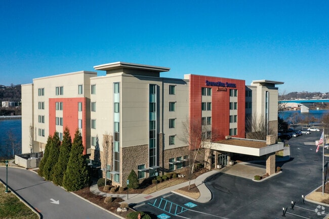
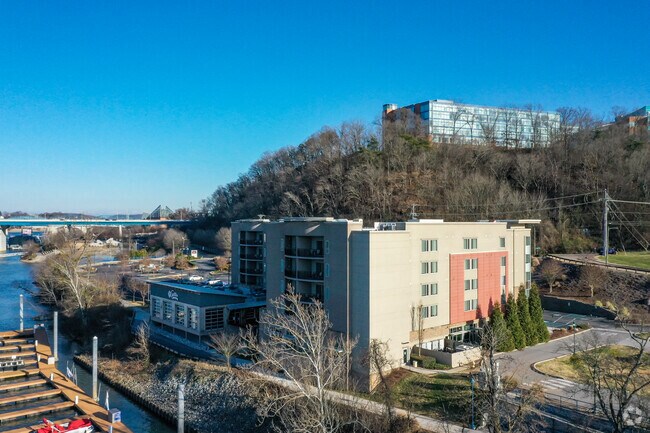
Property Record
495 Riverfront Pkwy, Chattanooga, TN 37402

Property Detail
495 Riverfront Pkwy
Chattanooga, TN-GA
LT 2 CAMERON HARBOR PB 89 PG 116 OUT OF 135N A 005.01 FOR 2016
135N-A-005.01-S-000
HAMILTON
Restaurantbuilding
Tennessee
AE The base floodplain where base flood elevations are provided. AE Zones are now used on new format FIRMs instead of A1-A30 Zones.
2
2025
0.14 AC
2025
Chattanooga Downtown
001600
Chattanooga
6,136 SF
NEARBY LISTINGS FOR SALE OR LEASE
DEMOGRAPHICS near 495 Riverfront Pkwy
1 mile
3 mile
5 mile
2024 Total Population
7,944
43,736
111,168
2029 Population
8,742
47,561
119,930
Pop Growth 2024-2029
+ 10.05%
+ 8.75%
+ 7.88%
Average Age
41
37
38
2024 Total Households
4,688
20,635
48,185
HH Growth 2024-2029
+ 10.79%
+ 9.27%
+ 8.25%
Median Household Inc
$40,918
$56,546
$48,660
Avg Household Size
1.60
2.00
2.20
2024 Avg HH Vehicles
1.00
1.00
2.00
Median Home Value
$439,622
$333,966
$265,186
Median Year Built
2001
1981
1969
Nearby Places
Map Layers
Map Styles
 Street
 Aerial
Transit
 Traffic
 Biking
Places
Listings with unknown addresses are not visible on the map
- Restaurants
- Banks
- Shops
- Fitness
- Groceries
SALE & LEASE HISTORY
LISTING DATE
SALE/LEASE

Sep 24, 2016
For Sale
Nearby Properties
Address
Land Use
TOTAL SIZE
Lot Size
Zoning
Address
Land Use
TOTAL SIZE
Lot Size
Zoning
1,412,692 SF
1.74 AC
C3
Address
Land Use
TOTAL SIZE
Lot Size
Zoning
1,750,017 SF
31.32 AC
Address
Land Use
TOTAL SIZE
Lot Size
Zoning
603,035 SF
21.57 AC
C3
Address
Land Use
TOTAL SIZE
Lot Size
Zoning
308,910 SF
53.60 AC
M1
Address
Land Use
TOTAL SIZE
Lot Size
Zoning
6.35 AC
Address
Land Use
TOTAL SIZE
Lot Size
Zoning
252,201 SF
1.60 AC
C3
Address
Land Use
TOTAL SIZE
Lot Size
Zoning
293,884 SF
4.40 AC
Address
Land Use
TOTAL SIZE
Lot Size
Zoning
192,000 SF
3.09 AC
R4
Address
Land Use
TOTAL SIZE
Lot Size
Zoning
409,451 SF
2.53 AC
C3
Address
Land Use
TOTAL SIZE
Lot Size
Zoning
298,706 SF
1.18 AC
Address
Land Use
TOTAL SIZE
Lot Size
Zoning
91,908 SF
2.64 AC
C3
Address
Land Use
TOTAL SIZE
Lot Size
Zoning
552,237 SF
1.87 AC
Address
Land Use
TOTAL SIZE
Lot Size
Zoning
170,000 SF
2.25 AC
C3
Address
Land Use
TOTAL SIZE
Lot Size
Zoning
182,932 SF
3.67 AC
M1
Address
Land Use
TOTAL SIZE
Lot Size
Zoning
134,974 SF
3.22 AC
Address
Land Use
TOTAL SIZE
Lot Size
Zoning
306,411 SF
6.96 AC
Address
Land Use
TOTAL SIZE
Lot Size
Zoning
19.38 AC
M1
Address
Land Use
TOTAL SIZE
Lot Size
Zoning
351,776 SF
17.70 AC
R4
Address
Land Use
TOTAL SIZE
Lot Size
Zoning
308,635 SF
2.24 AC
M1
Address
Land Use
TOTAL SIZE
Lot Size
Zoning
105,125 SF
3.38 AC
Address
Land Use
TOTAL SIZE
Lot Size
Zoning
275,364 SF
16.86 AC
C2
Address
Land Use
TOTAL SIZE
Lot Size
Zoning
357,029 SF
13.45 AC
C3
Address
Land Use
TOTAL SIZE
Lot Size
Zoning
293,516 SF
5.12 AC
M1
Address
Land Use
TOTAL SIZE
Lot Size
Zoning
194,019 SF
1.46 AC
C3
Address
Land Use
TOTAL SIZE
Lot Size
Zoning
288,371 SF
9.39 AC
Address
Land Use
TOTAL SIZE
Lot Size
Zoning
96,222 SF
0.57 AC
C3
Address
Land Use
TOTAL SIZE
Lot Size
Zoning
171,906 SF
2.10 AC
C2
Address
Land Use
TOTAL SIZE
Lot Size
Zoning
291,600 SF
1.32 AC
Address
Land Use
TOTAL SIZE
Lot Size
Zoning
175,260 SF
2.75 AC
C3
Address
Land Use
TOTAL SIZE
Lot Size
Zoning
75,697 SF
1.33 AC
The World's #1 Commercial Real Estate Marketplace
Connect with us
© 2026 CoStar Group
The information above has been obtained from sources believed reliable. While we do not doubt its accuracy we have not verified it and make no guarantee, warranty or representation about it. It is your responsibility to independently confirm its accuracy and completeness. Any projections, opinions, assumptions, or estimates used are for example only and do not represent the current or future performance of the property. The value of this transaction to you depends on tax and other factors which should be evaluated by your tax, financial, and legal advisors. You and your advisors should conduct a careful, independent investigation of the property to determine to your satisfaction the suitability of the property for your needs.