Property Record
Kunia Rd, Ewa Beach, HI 96706
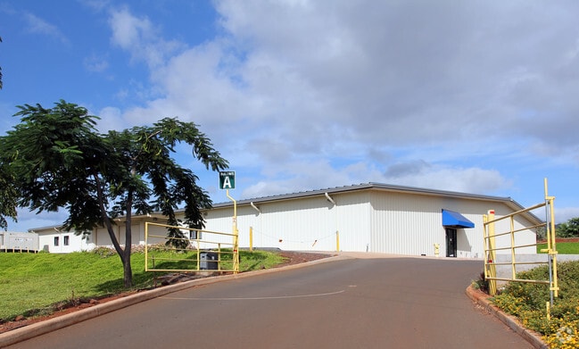
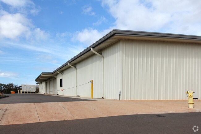
Property Detail
Kunia Rd
Urban Honolulu, HI
LOT 5613 17,057 SF MAP 523 LCAPP 1069 TOG/ESMT SUBJ/ESMT
1-9-2-001-005-0000
HONOLULU
Agriculturalland
Hawaii
AG-1
5613
D Areas with possible but undetermined flood hazards.
0.39 AC
2024
West Oahu
2025
Hawaii
008415
NEARBY LISTINGS FOR SALE OR LEASE
DEMOGRAPHICS near Kunia Rd
1 mile
3 mile
5 mile
2025 Total Population
3,387
59,722
188,318
2030 Population
3,370
59,078
186,766
Pop Growth 2025-2030
(0.50%)
(1.08%)
(0.82%)
Average Age
38
40
40
2025 Total Households
925
15,635
53,744
HH Growth 2025-2030
(1.08%)
(1.52%)
(1.18%)
Median Household Inc
$150,326
$117,769
$117,230
Avg Household Size
3.40
3.50
3.30
2025 Avg HH Vehicles
2.00
2.00
2.00
Median Home Value
$805,031
$807,022
$794,755
Median Year Built
2000
1988
1988
Nearby Places
Map Layers
Map Styles
 Street
 Aerial
Transit
 Traffic
 Biking
Places
Listings with unknown addresses are not visible on the map
- Restaurants
- Banks
- Shops
- Fitness
- Groceries
Nearby Properties
Address
Land Use
TOTAL SIZE
Lot Size
Zoning
Address
Land Use
TOTAL SIZE
Lot Size
Zoning
310,432 SF
192.56 AC
BMX-3
Address
Land Use
TOTAL SIZE
Lot Size
Zoning
376,136 SF
32.06 AC
B-2
Address
Land Use
TOTAL SIZE
Lot Size
Zoning
8,600 SF
479.12 AC
F-1
Address
Land Use
TOTAL SIZE
Lot Size
Zoning
82,948 SF
16.06 AC
AG-1
Address
Land Use
TOTAL SIZE
Lot Size
Zoning
229,396 SF
11.31 AC
BMX-3
Address
Land Use
TOTAL SIZE
Lot Size
Zoning
2,225 SF
19.72 AC
AG-1
Address
Land Use
TOTAL SIZE
Lot Size
Zoning
1,714 SF
200.33 AC
AG-1
Address
Land Use
TOTAL SIZE
Lot Size
Zoning
13.47 AC
AMX-2
Address
Land Use
TOTAL SIZE
Lot Size
Zoning
38,400 SF
19.30 AC
AG-1
Address
Land Use
TOTAL SIZE
Lot Size
Zoning
148.81 AC
P-2
Address
Land Use
TOTAL SIZE
Lot Size
Zoning
424,593 SF
8.73 AC
B-2
Address
Land Use
TOTAL SIZE
Lot Size
Zoning
157,460 SF
9.51 AC
BMX-3
Address
Land Use
TOTAL SIZE
Lot Size
Zoning
91,808 SF
6.59 AC
BMX-3
Address
Land Use
TOTAL SIZE
Lot Size
Zoning
108,786 SF
7.09 AC
BMX-3
Address
Land Use
TOTAL SIZE
Lot Size
Zoning
854.23 AC
AG-1
Address
Land Use
TOTAL SIZE
Lot Size
Zoning
53.41 AC
P-2
Address
Land Use
TOTAL SIZE
Lot Size
Zoning
119,778 SF
4.55 AC
B-1
Address
Land Use
TOTAL SIZE
Lot Size
Zoning
131,855 SF
14.48 AC
AG-1
Address
Land Use
TOTAL SIZE
Lot Size
Zoning
67.86 AC
R-3.5
Address
Land Use
TOTAL SIZE
Lot Size
Zoning
5.71 AC
A-2
Address
Land Use
TOTAL SIZE
Lot Size
Zoning
132,108 SF
4.37 AC
B-2
Address
Land Use
TOTAL SIZE
Lot Size
Zoning
52,382 SF
3.13 AC
I-2
Address
Land Use
TOTAL SIZE
Lot Size
Zoning
51,740 SF
3 AC
I-1
Address
Land Use
TOTAL SIZE
Lot Size
Zoning
163,712 SF
3.90 AC
IMX-1
Address
Land Use
TOTAL SIZE
Lot Size
Zoning
16,073 SF
190.69 AC
P-2
Address
Land Use
TOTAL SIZE
Lot Size
Zoning
42,140 SF
0.45 AC
AG-1
Address
Land Use
TOTAL SIZE
Lot Size
Zoning
67,722 SF
6.54 AC
IMX-1
Address
Land Use
TOTAL SIZE
Lot Size
Zoning
35,556 SF
3.35 AC
BMX-3
Address
Land Use
TOTAL SIZE
Lot Size
Zoning
4.24 AC
BMX-3
Address
Land Use
TOTAL SIZE
Lot Size
Zoning
4,536 SF
175.07 AC
AG-2
The World's #1 Commercial Real Estate Marketplace
Connect with us
© 2026 CoStar Group
The information above has been obtained from sources believed reliable. While we do not doubt its accuracy we have not verified it and make no guarantee, warranty or representation about it. It is your responsibility to independently confirm its accuracy and completeness. Any projections, opinions, assumptions, or estimates used are for example only and do not represent the current or future performance of the property. The value of this transaction to you depends on tax and other factors which should be evaluated by your tax, financial, and legal advisors. You and your advisors should conduct a careful, independent investigation of the property to determine to your satisfaction the suitability of the property for your needs.