Log In/Sign Up
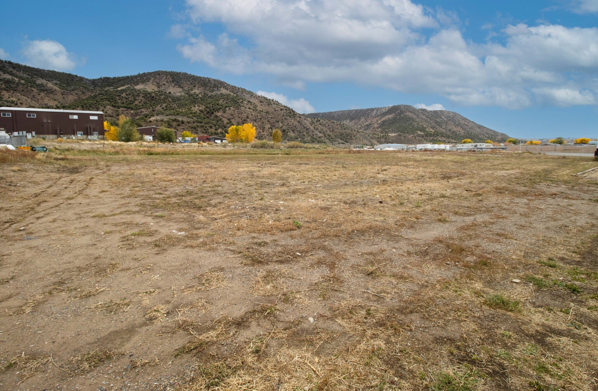
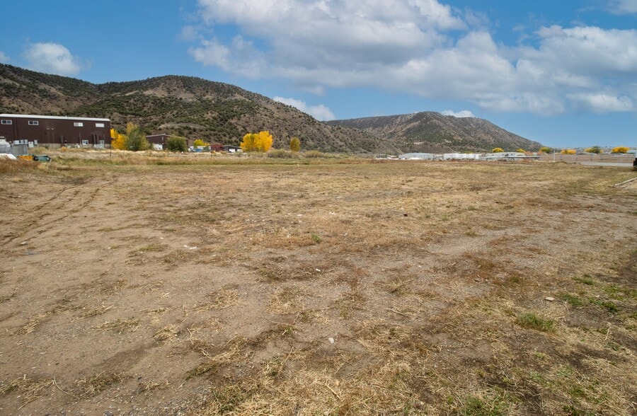
2135 Airport Road
Rifle, CO 81650
Land For Sale
·
1.94 AC
Property Facts
| Property Type | Land | Total Lot Size | 1.94 AC |
| Property Subtype | Commercial |
| Property Type | Land |
| Property Subtype | Commercial |
| Total Lot Size | 1.94 AC |
Description
Rifle, Co. 81650 is rapidly growing due to the expansion west of the Aspen and Vail Resort Communities. This approx. 1.94 Acre lot is a rare opportunity due to high demand and lack of available undeveloped lots. Located right off of I-70 on Airport Road in Rifle. Approx. 1 mile east of the Rifle Walmart and 2 miles west of The Rifle Garfield County Airport. Central Western Colorado Location directly in between Denver and Salt Lake City on I-70. Light Industrial Zoning allows for a variety of commercial uses. Strong Retail Potential. Mostly flat and Usable allows for maximization of acreage.
Property Taxes
| Parcel Number | R247330 | Improvements Assessment | $0 |
| Land Assessment | $125,490 | Total Assessment | $125,490 |
Property Taxes
Parcel Number
R247330
Land Assessment
$125,490
Improvements Assessment
$0
Total Assessment
$125,490
1 of 1
Videos
Matterport 3D Exterior
Matterport 3D Tour
Photos
Street View
Street
Map