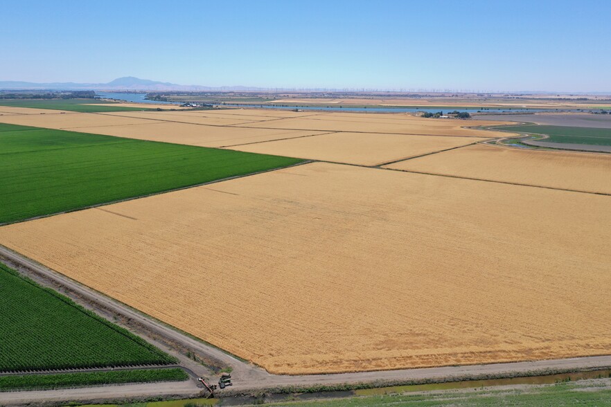
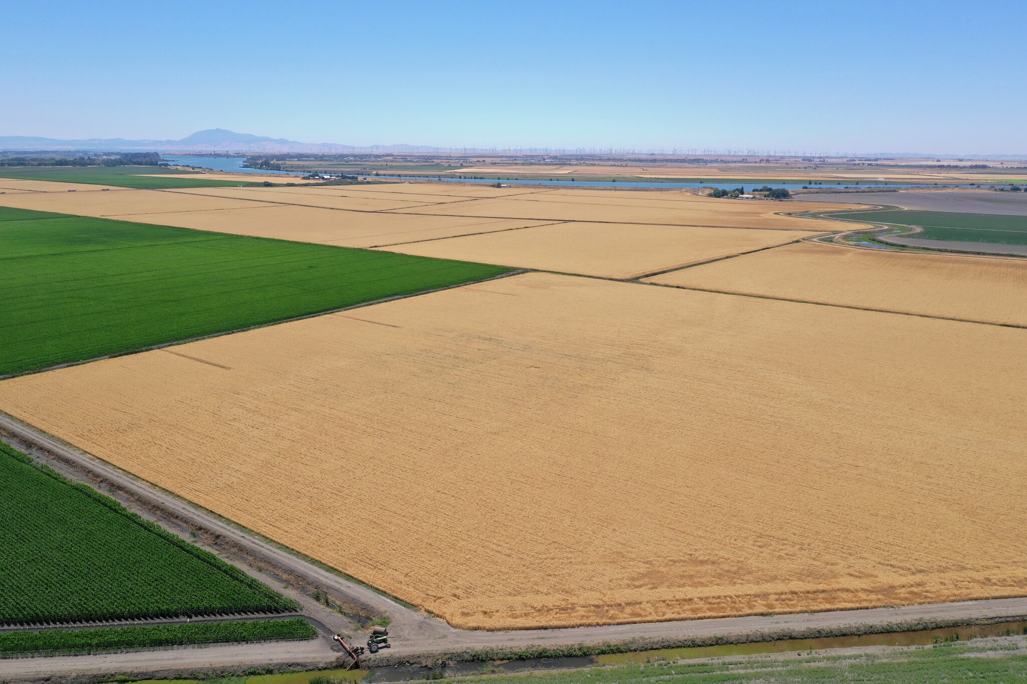
A 567.44 +/- acre offering of farmland planted to corn and triticale. The property is located in the North Delta Water Agency (NDWA) and benefits from a contractual agreement between the NDWA and California State Water Project (SWP). The property benefits from and has strong water security from claimed Riparian, claimed Pre-1914 water rights and the recorded Subcontract Agreement between the North Delta Water Agency (NDWA) and the Seller.
The property is located on Ryer Island in Solano County, California, approximately 22 miles Southwest of Sacramento.
From Interstate 80 in Sacramento, exit onto Jefferson Boulevard/Highway 84 and drive South for approximately 17.18 miles. Turn right to continue on Jefferson Boulevard/Highway 84, follow the curve South and continue for approximately 6 miles. Cross the Miner Slough Bridge, then turn right to continue South on Jefferson Boulevard/Highway 84 for approximately 7.84 miles. Take the dirt road on your left and drive south for approximately 215 feet. The property is on your left.
Approaching from the South, from Interstate 5 take the Twin Cities Road exit and turn left. Drive West for approximately 4.25 miles. Turn right on to River Road and drive north for approximately 4.65 miles. Turn left, drive over the bridge, then turn right onto Sutter Slough Bridge Road. Drive North for approximately 1.2 miles, then turn left on to Courtland Road. Drive West for approximately 3.35 miles and follow the curve South, then continue South for approximately 3.5 miles. Cross the Miner Slough Bridge, then turn right to continue South on Highway 84 for approximately 7.84 miles. Take the dirt road on your left and drive south for approximately 215 feet. The property is on your left.