Log In/Sign Up
Your email has been sent.

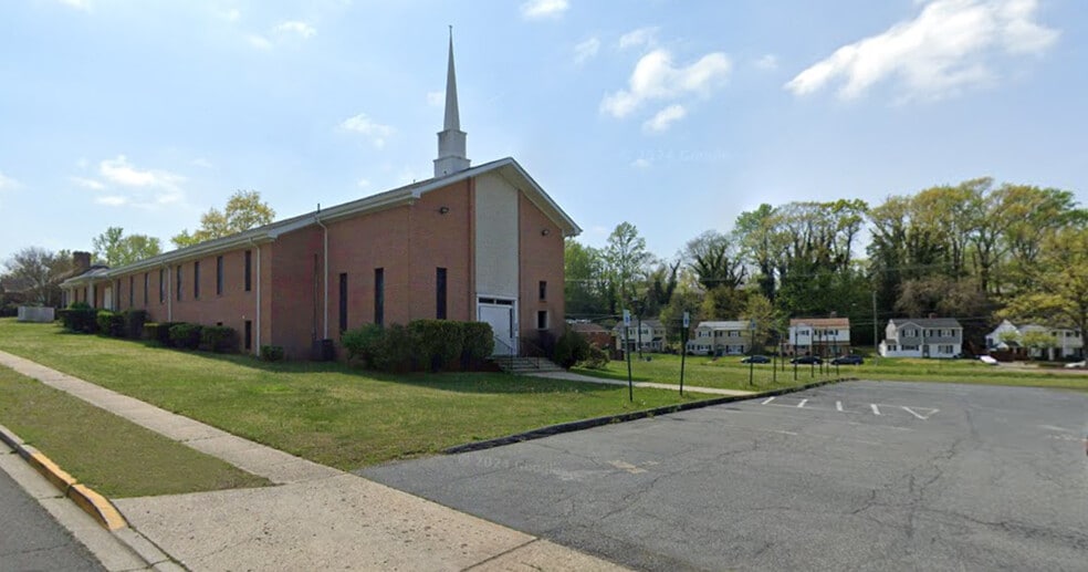
7234 Lansdale St 13,959 SF Specialty Building Offered For Sale in District Heights, MD 20747

Investment Highlights
- 1.625 ± Acres of Land improved by a 12,032 SF Church
- Zoned RSF-65 (Residential)
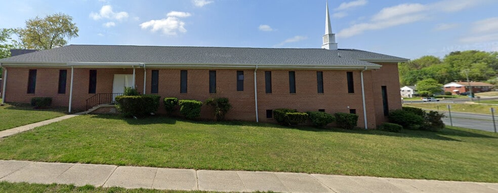
- 7230 Lansdale Street has a fenced rear yard.
- 13,959 SF of Land improved by a residence containing 1,769 ± SF
- On site parking for 90 + vehicles
Executive Summary
Ten adjacent parcels on Lansdale Street in District Heights (Prince George’s Co.), owned by First Baptist Church of District Heights. 7234 is the location of the main church building; 7230 is an adjoining single family structure. Both properties are in a residential neighborhood one block north of Marlboro Pike (MD 4) and about 1–2 miles from the I 495 Capital Beltway, with easy access to Washington, DC. (Reagan National Airport) is 13 miles/25 min away, BWI is 32 miles/47 min).
Property Facts
| Sale Type | Investment | Building Size | 13,959 SF |
| Property Type | Specialty | No. Stories | 1 |
| Property Subtype | Religious Facility | Year Built | 1956 |
| Building Class | C | Parking Ratio | 6.45/1,000 SF |
| Lot Size | 1.63 AC | ||
| Zoning | RSF-65 - Residential | ||
| Sale Type | Investment |
| Property Type | Specialty |
| Property Subtype | Religious Facility |
| Building Class | C |
| Lot Size | 1.63 AC |
| Building Size | 13,959 SF |
| No. Stories | 1 |
| Year Built | 1956 |
| Parking Ratio | 6.45/1,000 SF |
| Zoning | RSF-65 - Residential |
1 1
Fairly walkable
50/100
Very drivable
80/100
Limited public transit
30/100
Somewhat bikeable
30/100
Property Taxes
| Parcel Numbers | Improvements Assessment | $0 | |
| Land Assessment | $381,700 | Total Assessment | $2,214,600 |
Property Taxes
Parcel Numbers
Land Assessment
$381,700
Improvements Assessment
$0
Total Assessment
$2,214,600


1 of 9
Videos
Matterport 3D Exterior
Matterport 3D Tour
Photos
Street View
Street
Map

1 of 1
Presented by
7234 Lansdale St

Already a member? Log In
Hmm, there seems to have been an error sending your message. Please try again.
Thanks! Your message was sent.