Log In/Sign Up
I-10
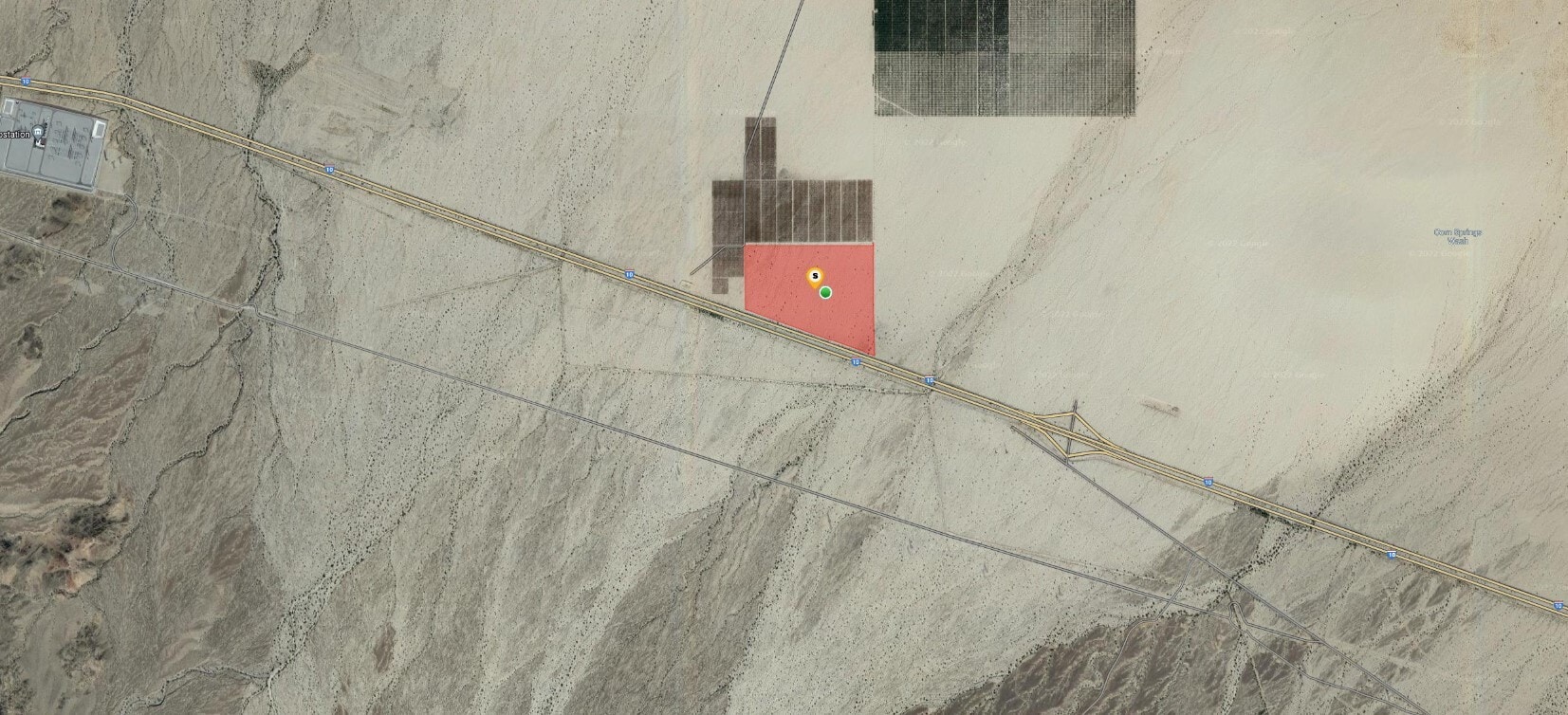
Desert Center, CA 92239
113.72 A. Corn Springs Exit/ I-10 Freeway · For Lease

Property Facts
Property Overview
APN: 811-231-007, 113.72 Acres; Corn Springs Exit. Visible from the I-10. Near the Maverick Solar Energy Project and the SCE Red Bluff Sub-Station. ZONING: W-2-10, Chuckwalla Area GENERAL PLAN: OS-RUR (Open Space Rural) NO AG PRESERVE, NO FLOOD PLAIN, NO MULTI SPECIES HABITAT CONSERVATION PLAN (MHSCP) Terms: Ground Lease Only- 10-15 year minimum Directions: Take 1-10 East past Chiraico Summit, property is on the north side of the I-10 Freeway. Google Maps: https://www.google.com/maps/@33.6869438,-115.2577912,3a,73.7y,345.36h,91.05t/data=!3m6!1e1!3m4!1s5AfhuLmC20Zw_0qDSgcO7Q!2e0!7i16384!8i8192
Highlights
- Potential for Solar Farm
- Radio, Television or Broadcasting Stations or towers
- Access from the Corn Springs Exit off the I-10
- I-10 Visibility
- NO MHSCP
1 of 1
Videos
Matterport 3D Exterior
Matterport 3D Tour
Photos
Street View
Street
Map