Property Record
0 E Unknown Ave, Spokane Valley, WA 99212
Property Detail
0 E Unknown Ave
Spokane-Spokane Valley, WA
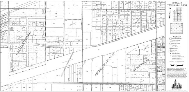
(CITY OF SPOKANE VALLEY) NP SHOPS ADDITION LTS 1, 2 & N10FT LT 3 BLK 2 TOGETHER WITH W35FT VAC BOWMAN ST E OF & ADJ TO (PARCEL A-1 ROS #5743407 BK 135 PG 83)
35124.2005
SPOKANE
Vacantlandnec
Washington
I-1
1,2,3
B and X Area of moderate flood hazard, usually the area between the limits of the 100-year and 500-year floods.
0.39 AC
2026
West Valley
2026
Spokane
012200
NEARBY LISTINGS FOR SALE OR LEASE
DEMOGRAPHICS near 0 E Unknown Ave
1 mile
3 mile
5 mile
2025 Total Population
7,234
65,179
141,750
2030 Population
7,314
66,401
144,710
Pop Growth 2025-2030
+ 1.11%
+ 1.87%
+ 2.09%
Average Age
41
40
40
2025 Total Households
3,058
27,069
56,396
HH Growth 2025-2030
+ 0.95%
+ 1.86%
+ 2.06%
Median Household Inc
$60,585
$68,797
$73,631
Avg Household Size
2.30
2.30
2.40
2025 Avg HH Vehicles
2.00
2.00
2.00
Median Home Value
$357,309
$370,629
$392,673
Median Year Built
1968
1977
1978
Nearby Places
Map Layers
Map Styles
 Street
 Aerial
Layers
 Traffic
 Biking
Places
Listings with unknown addresses are not visible on the map
- Restaurants
- Banks
- Shops
- Fitness
- Groceries
PUBLIC TRANSPORTATION
COMMUTER RAIL
Spokane (Empire Builder - Amtrak)
Drive
Walk
Distance
Spokane (Empire Builder - Amtrak)
12 min
6.7 mi
AIRPORT
Spokane International
Drive
Walk
Distance
Spokane International
20 min
12.5 mi
Freight Ports
Port of Everett
Drive
Walk
Distance
Port of Everett
347 min
308.1 mi
Nearby Properties
Address
Land Use
TOTAL SIZE
Lot Size
Zoning
Address
Land Use
TOTAL SIZE
Lot Size
Zoning
917,113 SF
100.67 AC
LI
Address
Land Use
TOTAL SIZE
Lot Size
Zoning
361,310 SF
35.83 AC
I-2
Address
Land Use
TOTAL SIZE
Lot Size
Zoning
378,750 SF
17.38 AC
R-2
Address
Land Use
TOTAL SIZE
Lot Size
Zoning
161,130 SF
6.45 AC
GO
Address
Land Use
TOTAL SIZE
Lot Size
Zoning
58,522 SF
19.91 AC
HI
Address
Land Use
TOTAL SIZE
Lot Size
Zoning
84,600 SF
17.95 AC
MF-1
Address
Land Use
TOTAL SIZE
Lot Size
Zoning
150,944 SF
12.16 AC
MF-2
Address
Land Use
TOTAL SIZE
Lot Size
Zoning
96,424 SF
9.04 AC
I-1
Address
Land Use
TOTAL SIZE
Lot Size
Zoning
107,442 SF
5.57 AC
MF-2
Address
Land Use
TOTAL SIZE
Lot Size
Zoning
108,577 SF
8.38 AC
Address
Land Use
TOTAL SIZE
Lot Size
Zoning
47,612 SF
3.38 AC
CMU
Address
Land Use
TOTAL SIZE
Lot Size
Zoning
150,812 SF
17.49 AC
RC
Address
Land Use
TOTAL SIZE
Lot Size
Zoning
81,746 SF
6 AC
Address
Land Use
TOTAL SIZE
Lot Size
Zoning
89,357 SF
5.83 AC
MDR
Address
Land Use
TOTAL SIZE
Lot Size
Zoning
418,875 SF
18.79 AC
I-1
Address
Land Use
TOTAL SIZE
Lot Size
Zoning
123,938 SF
7.70 AC
MF-2
Address
Land Use
TOTAL SIZE
Lot Size
Zoning
134,116 SF
5.89 AC
HDR
Address
Land Use
TOTAL SIZE
Lot Size
Zoning
91,811 SF
6.02 AC
LI
Address
Land Use
TOTAL SIZE
Lot Size
Zoning
107,242 SF
8.90 AC
I-1
Address
Land Use
TOTAL SIZE
Lot Size
Zoning
38,889 SF
114.18 AC
LI
Address
Land Use
TOTAL SIZE
Lot Size
Zoning
118,818 SF
7.96 AC
HDR
Address
Land Use
TOTAL SIZE
Lot Size
Zoning
200 SF
159.15 AC
LI
Address
Land Use
TOTAL SIZE
Lot Size
Zoning
68,600 SF
5.25 AC
MF-2
Address
Land Use
TOTAL SIZE
Lot Size
Zoning
182,166 SF
6.61 AC
O
Address
Land Use
TOTAL SIZE
Lot Size
Zoning
100,035 SF
5.74 AC
CMU
Address
Land Use
TOTAL SIZE
Lot Size
Zoning
72,903 SF
6.35 AC
MF-2
Address
Land Use
TOTAL SIZE
Lot Size
Zoning
102,875 SF
7.44 AC
RC
Address
Land Use
TOTAL SIZE
Lot Size
Zoning
54,444 SF
1.86 AC
MUC
Address
Land Use
TOTAL SIZE
Lot Size
Zoning
26,561 SF
2.73 AC
CMU
Address
Land Use
TOTAL SIZE
Lot Size
Zoning
104,760 SF
6.96 AC
HDR
The World's #1 Commercial Real Estate Marketplace
Connect with us
© 2026 CoStar Group
The information above has been obtained from sources believed reliable. While we do not doubt its accuracy we have not verified it and make no guarantee, warranty or representation about it. It is your responsibility to independently confirm its accuracy and completeness. Any projections, opinions, assumptions, or estimates used are for example only and do not represent the current or future performance of the property. The value of this transaction to you depends on tax and other factors which should be evaluated by your tax, financial, and legal advisors. You and your advisors should conduct a careful, independent investigation of the property to determine to your satisfaction the suitability of the property for your needs.