Property Record
0 E Weber Rd, Columbus Grove, OH 45830

Property Detail
0 E Weber Rd
Columbus, OH
WEBER AVE HUBMAN HTS LOT 7
010-077205
FRANKLIN
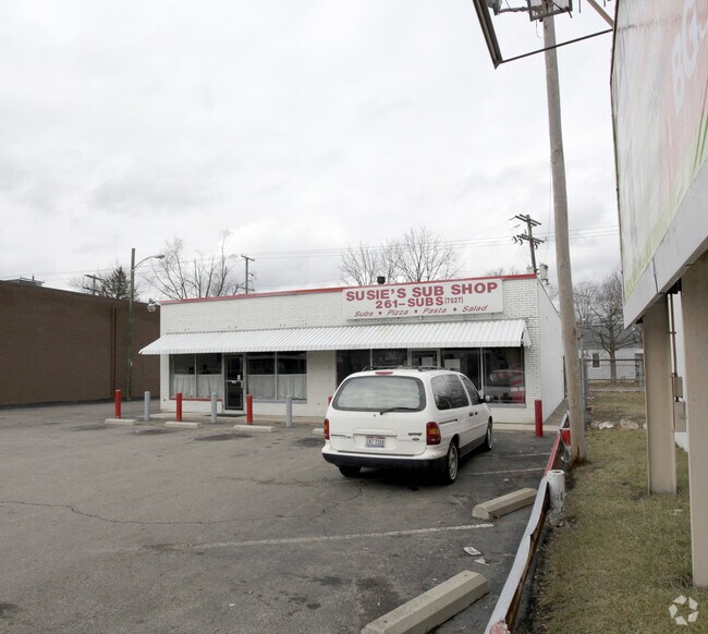
Storebuilding
Ohio
B and X Area of moderate flood hazard, usually the area between the limits of the 100-year and 500-year floods.
7
2024
0.11 AC
2025
North Central
030500
Columbus
NEARBY LISTINGS FOR SALE OR LEASE
DEMOGRAPHICS near 0 E Weber Rd
1 mile
3 mile
5 mile
2025 Total Population
21,089
176,263
400,121
2030 Population
21,812
182,631
414,020
Pop Growth 2025-2030
+ 3.43%
+ 3.61%
+ 3.47%
Average Age
38
34
36
2025 Total Households
8,390
67,951
170,412
HH Growth 2025-2030
+ 3.44%
+ 3.86%
+ 3.73%
Median Household Inc
$48,575
$48,444
$61,357
Avg Household Size
2.40
2.30
2.20
2025 Avg HH Vehicles
2.00
2.00
2.00
Median Home Value
$141,076
$248,418
$316,018
Median Year Built
1953
1961
1967
Nearby Places
Map Layers
Map Styles
 Street
 Aerial
Transit
 Traffic
 Biking
Places
Listings with unknown addresses are not visible on the map
- Restaurants
- Banks
- Shops
- Fitness
- Groceries
PUBLIC TRANSPORTATION
AIRPORT
John Glenn Columbus International
Drive
Walk
Distance
John Glenn Columbus International
13 min
6.9 mi
Rickenbacker International
Drive
Walk
Distance
Rickenbacker International
29 min
19.1 mi
Nearby Properties
Address
Land Use
TOTAL SIZE
Lot Size
Zoning
Address
Land Use
TOTAL SIZE
Lot Size
Zoning
3,462,019 SF
54.42 AC
Address
Land Use
TOTAL SIZE
Lot Size
Zoning
344,620 SF
291.96 AC
Address
Land Use
TOTAL SIZE
Lot Size
Zoning
382,270 SF
319.59 AC
Address
Land Use
TOTAL SIZE
Lot Size
Zoning
Address
Land Use
TOTAL SIZE
Lot Size
Zoning
1,099,074 SF
39.47 AC
Address
Land Use
TOTAL SIZE
Lot Size
Zoning
1.64 AC
Address
Land Use
TOTAL SIZE
Lot Size
Zoning
378,522 SF
41.13 AC
Address
Land Use
TOTAL SIZE
Lot Size
Zoning
284,481 SF
94.09 AC
Address
Land Use
TOTAL SIZE
Lot Size
Zoning
4.90 AC
Address
Land Use
TOTAL SIZE
Lot Size
Zoning
770,975 SF
64.63 AC
Address
Land Use
TOTAL SIZE
Lot Size
Zoning
2.25 AC
Address
Land Use
TOTAL SIZE
Lot Size
Zoning
691,902 SF
12.34 AC
Address
Land Use
TOTAL SIZE
Lot Size
Zoning
4.46 AC
Address
Land Use
TOTAL SIZE
Lot Size
Zoning
15,968 SF
10 AC
Address
Land Use
TOTAL SIZE
Lot Size
Zoning
34,200 SF
8.10 AC
Address
Land Use
TOTAL SIZE
Lot Size
Zoning
325,684 SF
2 AC
Address
Land Use
TOTAL SIZE
Lot Size
Zoning
24.14 AC
Address
Land Use
TOTAL SIZE
Lot Size
Zoning
339,332 SF
1.42 AC
Address
Land Use
TOTAL SIZE
Lot Size
Zoning
0.99 AC
Address
Land Use
TOTAL SIZE
Lot Size
Zoning
1.39 AC
Address
Land Use
TOTAL SIZE
Lot Size
Zoning
349,372 SF
3.09 AC
Address
Land Use
TOTAL SIZE
Lot Size
Zoning
29,668 SF
1.32 AC
Address
Land Use
TOTAL SIZE
Lot Size
Zoning
255,831 SF
2.50 AC
Address
Land Use
TOTAL SIZE
Lot Size
Zoning
156,039 SF
4.23 AC
Address
Land Use
TOTAL SIZE
Lot Size
Zoning
230,354 SF
1.05 AC
Address
Land Use
TOTAL SIZE
Lot Size
Zoning
0.20 AC
Address
Land Use
TOTAL SIZE
Lot Size
Zoning
438,301 SF
26.10 AC
Address
Land Use
TOTAL SIZE
Lot Size
Zoning
274,272 SF
6.45 AC
Address
Land Use
TOTAL SIZE
Lot Size
Zoning
0.66 AC
Address
Land Use
TOTAL SIZE
Lot Size
Zoning
35,434 SF
17.56 AC
The World's #1 Commercial Real Estate Marketplace
Connect with us
© 2026 CoStar Group
The information above has been obtained from sources believed reliable. While we do not doubt its accuracy we have not verified it and make no guarantee, warranty or representation about it. It is your responsibility to independently confirm its accuracy and completeness. Any projections, opinions, assumptions, or estimates used are for example only and do not represent the current or future performance of the property. The value of this transaction to you depends on tax and other factors which should be evaluated by your tax, financial, and legal advisors. You and your advisors should conduct a careful, independent investigation of the property to determine to your satisfaction the suitability of the property for your needs.