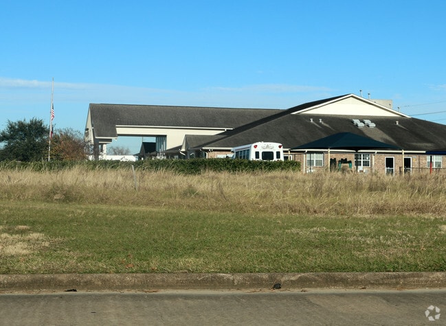
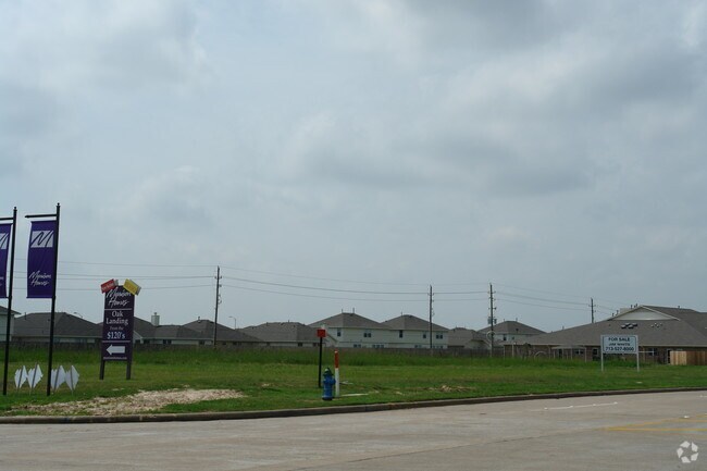
Property Record
0 Ferry Rd, Cypress, TX 77433


Property Detail
0 Ferry Rd
Houston-Pasadena-The Woodlands, TX
RES J BLK 9 TEALBROOK RESERVES
1166800090002
HARRIS
Commercialacreage
Texas
B and X Area of moderate flood hazard, usually the area between the limits of the 100-year and 500-year floods.
1.37 AC
2024
Northwest Outlier
2025
Houston
543004
NEARBY LISTINGS FOR SALE OR LEASE
DEMOGRAPHICS near 0 Ferry Rd
1 mile
3 mile
5 mile
2025 Total Population
21,447
131,017
307,580
2030 Population
22,853
140,231
329,106
Pop Growth 2025-2030
+ 6.56%
+ 7.03%
+ 7.00%
Average Age
34
35
36
2025 Total Households
6,042
38,879
93,673
HH Growth 2025-2030
+ 6.80%
+ 7.21%
+ 7.14%
Median Household Inc
$98,429
$99,129
$100,827
Avg Household Size
3.50
3.30
3.20
2025 Avg HH Vehicles
2.00
2.00
2.00
Median Home Value
$278,056
$298,467
$306,301
Median Year Built
2006
2008
2005
Nearby Places
Map Layers
Map Styles
 Street
 Aerial
Transit
 Traffic
 Biking
Places
Listings with unknown addresses are not visible on the map
- Restaurants
- Banks
- Shops
- Fitness
- Groceries
PUBLIC TRANSPORTATION
AIRPORT
George Bush Intcntl/Houston
Drive
Walk
Distance
George Bush Intcntl/Houston
42 min
28.7 mi
Freight Ports
Port of Houston
Drive
Walk
Distance
Port of Houston
53 min
35.8 mi
SALE & LEASE HISTORY
LISTING DATE
SALE/LEASE

May 04, 2020
For Sale
Jan 10, 2017
For Sale
Apr 11, 2018
For Sale
Nearby Properties
Address
Land Use
TOTAL SIZE
Lot Size
Zoning
Address
Land Use
TOTAL SIZE
Lot Size
Zoning
483,699 SF
13 AC
Address
Land Use
TOTAL SIZE
Lot Size
Zoning
355,721 SF
13 AC
Address
Land Use
TOTAL SIZE
Lot Size
Zoning
373,285 SF
13.32 AC
Address
Land Use
TOTAL SIZE
Lot Size
Zoning
379,588 SF
12.06 AC
Address
Land Use
TOTAL SIZE
Lot Size
Zoning
351,997 SF
13.28 AC
Address
Land Use
TOTAL SIZE
Lot Size
Zoning
365,784 SF
12.87 AC
Address
Land Use
TOTAL SIZE
Lot Size
Zoning
323,609 SF
12.71 AC
Address
Land Use
TOTAL SIZE
Lot Size
Zoning
331,263 SF
11.36 AC
Address
Land Use
TOTAL SIZE
Lot Size
Zoning
236,406 SF
11.40 AC
Address
Land Use
TOTAL SIZE
Lot Size
Zoning
418,572 SF
24.76 AC
Address
Land Use
TOTAL SIZE
Lot Size
Zoning
262,174 SF
11.64 AC
Address
Land Use
TOTAL SIZE
Lot Size
Zoning
267,766 SF
12.96 AC
Address
Land Use
TOTAL SIZE
Lot Size
Zoning
290,927 SF
14.53 AC
Address
Land Use
TOTAL SIZE
Lot Size
Zoning
191,673 SF
7.29 AC
Address
Land Use
TOTAL SIZE
Lot Size
Zoning
186,161 SF
8.65 AC
Address
Land Use
TOTAL SIZE
Lot Size
Zoning
279,000 SF
4.30 AC
Address
Land Use
TOTAL SIZE
Lot Size
Zoning
147,923 SF
11.60 AC
Address
Land Use
TOTAL SIZE
Lot Size
Zoning
116,160 SF
13.43 AC
Address
Land Use
TOTAL SIZE
Lot Size
Zoning
262,048 SF
7 AC
Address
Land Use
TOTAL SIZE
Lot Size
Zoning
107,683 SF
15.77 AC
Address
Land Use
TOTAL SIZE
Lot Size
Zoning
117,860 SF
12.44 AC
Address
Land Use
TOTAL SIZE
Lot Size
Zoning
49,195 SF
6.49 AC
Address
Land Use
TOTAL SIZE
Lot Size
Zoning
228,152 SF
22.61 AC
Address
Land Use
TOTAL SIZE
Lot Size
Zoning
191,575 SF
17.98 AC
Address
Land Use
TOTAL SIZE
Lot Size
Zoning
122,880 SF
15 AC
Address
Land Use
TOTAL SIZE
Lot Size
Zoning
71,283 SF
13.46 AC
Address
Land Use
TOTAL SIZE
Lot Size
Zoning
201,809 SF
21.18 AC
Address
Land Use
TOTAL SIZE
Lot Size
Zoning
67,250 SF
7.37 AC
Address
Land Use
TOTAL SIZE
Lot Size
Zoning
2,939 SF
330.19 AC
Address
Land Use
TOTAL SIZE
Lot Size
Zoning
76,688 SF
5.74 AC
The World's #1 Commercial Real Estate Marketplace
Connect with us
© 2026 CoStar Group
The information above has been obtained from sources believed reliable. While we do not doubt its accuracy we have not verified it and make no guarantee, warranty or representation about it. It is your responsibility to independently confirm its accuracy and completeness. Any projections, opinions, assumptions, or estimates used are for example only and do not represent the current or future performance of the property. The value of this transaction to you depends on tax and other factors which should be evaluated by your tax, financial, and legal advisors. You and your advisors should conduct a careful, independent investigation of the property to determine to your satisfaction the suitability of the property for your needs.