Property Record
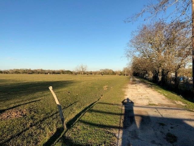
Hilltop Rd, Kendleton, TX 77451
Property Detail
Hilltop Rd
Houston-Pasadena-The Woodlands, TX
0058 I MCGARY, TRACT 3 & 4 (2ND PT), ACRES 24.783, HACKWORTH PARTITION
0058-01-920-0000-908
FORT BEND
Commercialnec
Texas
AE The base floodplain where base flood elevations are provided. AE Zones are now used on new format FIRMs instead of A1-A30 Zones.
3
2024
24.78 AC
2025
Southwest Outlier
675800
Houston
NEARBY LISTINGS FOR SALE OR LEASE
DEMOGRAPHICS near Hilltop Rd
1 mile
3 mile
5 mile
2025 Total Population
233
1,309
3,212
2030 Population
245
1,407
3,464
Pop Growth 2025-2030
+ 5.15%
+ 7.49%
+ 7.85%
Average Age
41
41
41
2025 Total Households
89
483
1,172
HH Growth 2025-2030
+ 5.62%
+ 7.66%
+ 8.02%
Median Household Inc
$44,210
$51,667
$57,299
Avg Household Size
2.60
2.70
2.70
2025 Avg HH Vehicles
2.00
2.00
2.00
Median Home Value
$87,179
$177,333
$339,189
Median Year Built
1972
1975
1979
Nearby Places
Map Layers
Map Styles
 Street
 Aerial
Transit
 Traffic
 Biking
Places
Listings with unknown addresses are not visible on the map
- Restaurants
- Banks
- Shops
- Fitness
- Groceries
SALE & LEASE HISTORY
LISTING DATE
SALE/LEASE

Nov 15, 2019
For Sale
Feb 08, 2019
For Sale
Nearby Properties
Address
Land Use
TOTAL SIZE
Lot Size
Zoning
Address
Land Use
TOTAL SIZE
Lot Size
Zoning
41,897 SF
33.03 AC
Address
Land Use
TOTAL SIZE
Lot Size
Zoning
38,018 SF
2.31 AC
Address
Land Use
TOTAL SIZE
Lot Size
Zoning
Address
Land Use
TOTAL SIZE
Lot Size
Zoning
5,152 SF
10.32 AC
Address
Land Use
TOTAL SIZE
Lot Size
Zoning
5,236 SF
6.86 AC
Address
Land Use
TOTAL SIZE
Lot Size
Zoning
7,040 SF
9.39 AC
Address
Land Use
TOTAL SIZE
Lot Size
Zoning
5,695 SF
75 AC
Address
Land Use
TOTAL SIZE
Lot Size
Zoning
1,500 SF
0.32 AC
X
Address
Land Use
TOTAL SIZE
Lot Size
Zoning
4,079 SF
6.70 AC
Address
Land Use
TOTAL SIZE
Lot Size
Zoning
4,878 SF
12.97 AC
Address
Land Use
TOTAL SIZE
Lot Size
Zoning
235.17 AC
T
Address
Land Use
TOTAL SIZE
Lot Size
Zoning
4,267 SF
4 AC
Address
Land Use
TOTAL SIZE
Lot Size
Zoning
50.17 AC
Address
Land Use
TOTAL SIZE
Lot Size
Zoning
4,235 SF
10.07 AC
Address
Land Use
TOTAL SIZE
Lot Size
Zoning
4,134 SF
2.36 AC
Address
Land Use
TOTAL SIZE
Lot Size
Zoning
14,570 SF
29.56 AC
Address
Land Use
TOTAL SIZE
Lot Size
Zoning
5,000 SF
1.60 AC
Address
Land Use
TOTAL SIZE
Lot Size
Zoning
4,208 SF
40.95 AC
Address
Land Use
TOTAL SIZE
Lot Size
Zoning
2,780 SF
6.86 AC
Address
Land Use
TOTAL SIZE
Lot Size
Zoning
3,556 SF
65.71 AC
Address
Land Use
TOTAL SIZE
Lot Size
Zoning
2,852 SF
10 AC
Address
Land Use
TOTAL SIZE
Lot Size
Zoning
3,705 SF
2 AC
Address
Land Use
TOTAL SIZE
Lot Size
Zoning
4.65 AC
Address
Land Use
TOTAL SIZE
Lot Size
Zoning
Address
Land Use
TOTAL SIZE
Lot Size
Zoning
2,293 SF
3.96 AC
Address
Land Use
TOTAL SIZE
Lot Size
Zoning
5,850 SF
2 AC
Address
Land Use
TOTAL SIZE
Lot Size
Zoning
34.34 AC
Address
Land Use
TOTAL SIZE
Lot Size
Zoning
3,922 SF
5 AC
Address
Land Use
TOTAL SIZE
Lot Size
Zoning
4,756 SF
10.64 AC
Address
Land Use
TOTAL SIZE
Lot Size
Zoning
3,118 SF
4.16 AC
The World's #1 Commercial Real Estate Marketplace
Connect with us
© 2026 CoStar Group
The information above has been obtained from sources believed reliable. While we do not doubt its accuracy we have not verified it and make no guarantee, warranty or representation about it. It is your responsibility to independently confirm its accuracy and completeness. Any projections, opinions, assumptions, or estimates used are for example only and do not represent the current or future performance of the property. The value of this transaction to you depends on tax and other factors which should be evaluated by your tax, financial, and legal advisors. You and your advisors should conduct a careful, independent investigation of the property to determine to your satisfaction the suitability of the property for your needs.