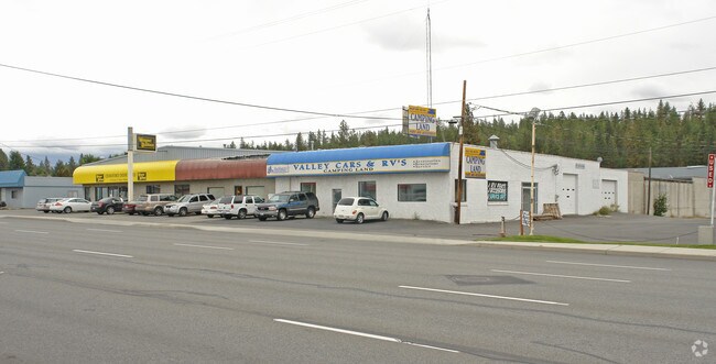
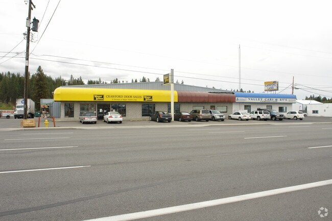
Property Record
0 N Address Unknown Rd, Spokane Valley, WA 99216
NEARBY LISTINGS FOR SALE OR LEASE
Property Detail
0 N Address Unknown Rd
Spokane-Spokane Valley, WA
19-25-44: DESCRIPTION OF A PARCEL OF LAND BEING A PORTION OF GOVERNMENT LOT 1 AND A PORTION OF THE NORTHWEST QUARTER OF SECTION 19, MORE PARTICULARLY DESCRIBED AS FOLLOWS: BEGINNING AT A POINT BEING 50 FEET SOUTH OF THE NORTHEAST CORNER OF GOVERNMENT
45192.9195
Spokane
Vacantlandnec
Washington
X
1
53063C0568D
0.60 AC
2025
Valley
2025
Spokane
012401
DEMOGRAPHICS near 0 N Address Unknown Rd
1 Mile
3 Mile
5 Mile
2024 Total Population
6,740
59,490
184,417
2029 Population
7,178
63,210
196,473
Pop Growth 2024-2029
+ 6.50%
+ 6.25%
+ 6.54%
Average Age
41
40
40
2024 Total Households
2,821
23,933
73,901
HH Growth 2024-2029
+ 6.59%
+ 6.37%
+ 6.74%
Median Household Inc
$59,016
$63,919
$63,331
Avg Household Size
2.30
2.40
2.40
2024 Avg HH Vehicles
2.00
2.00
2.00
Median Home Value
$240,678
$304,665
$330,646
Median Year Built
1970
1973
1976
Nearby Places
Map Layers
Map Styles
 Street
 Aerial
- Restaurants
- Banks
- Shops
- Fitness
- Groceries
PUBLIC TRANSPORTATION
COMMUTER RAIL
Spokane (Empire Builder - Amtrak)
DRIVE
WALK
Distance
Spokane (Empire Builder - Amtrak)
11 min
5.9 mi
AIRPORT
Spokane International
DRIVE
WALK
Distance
Spokane International
19 min
11.8 mi
Freight Ports
Port of Everett
DRIVE
WALK
Distance
Port of Everett
346 min
307.4 mi
Nearby Properties
Address
Land Use
TOTAL SIZE
Lot Size
Zoning
Address
Land Use
TOTAL SIZE
Lot Size
Zoning
355,192 SF
35.83 AC
I-2
Address
Land Use
TOTAL SIZE
Lot Size
Zoning
378,750 SF
17.38 AC
R-2
Address
Land Use
TOTAL SIZE
Lot Size
Zoning
161,130 SF
6.45 AC
GO
Address
Land Use
TOTAL SIZE
Lot Size
Zoning
84,600 SF
17.95 AC
MF-1
Address
Land Use
TOTAL SIZE
Lot Size
Zoning
58,522 SF
19.91 AC
HI
Address
Land Use
TOTAL SIZE
Lot Size
Zoning
69,202 SF
9.99 AC
R-2
Address
Land Use
TOTAL SIZE
Lot Size
Zoning
72,443 SF
8.90 AC
R-3
Address
Land Use
TOTAL SIZE
Lot Size
Zoning
87,989 SF
5.38 AC
MF-2
Address
Land Use
TOTAL SIZE
Lot Size
Zoning
172,388 SF
13.59 AC
RSF
Address
Land Use
TOTAL SIZE
Lot Size
Zoning
96,424 SF
9.04 AC
I-1
Address
Land Use
TOTAL SIZE
Lot Size
Zoning
107,442 SF
5.57 AC
MF-2
Address
Land Use
TOTAL SIZE
Lot Size
Zoning
47,612 SF
3.38 AC
CMU
Address
Land Use
TOTAL SIZE
Lot Size
Zoning
134,104 SF
5.89 AC
HDR
Address
Land Use
TOTAL SIZE
Lot Size
Zoning
150,812 SF
17.49 AC
RC
Address
Land Use
TOTAL SIZE
Lot Size
Zoning
102,441 SF
8.38 AC
Address
Land Use
TOTAL SIZE
Lot Size
Zoning
118,818 SF
7.96 AC
HDR
Address
Land Use
TOTAL SIZE
Lot Size
Zoning
72,903 SF
6.35 AC
MF-2
Address
Land Use
TOTAL SIZE
Lot Size
Zoning
418,875 SF
18.79 AC
I-1
Address
Land Use
TOTAL SIZE
Lot Size
Zoning
91,811 SF
6.02 AC
LI
Address
Land Use
TOTAL SIZE
Lot Size
Zoning
68,600 SF
5.25 AC
MF-2
Address
Land Use
TOTAL SIZE
Lot Size
Zoning
104,760 SF
6.96 AC
HDR
Address
Land Use
TOTAL SIZE
Lot Size
Zoning
38,889 SF
114.18 AC
LI
Address
Land Use
TOTAL SIZE
Lot Size
Zoning
200 SF
159.15 AC
LI
Address
Land Use
TOTAL SIZE
Lot Size
Zoning
109,016 SF
8.01 AC
MF-2
Address
Land Use
TOTAL SIZE
Lot Size
Zoning
100,035 SF
5.74 AC
CMU
Address
Land Use
TOTAL SIZE
Lot Size
Zoning
182,166 SF
6.61 AC
O
Address
Land Use
TOTAL SIZE
Lot Size
Zoning
90,423 SF
2.48 AC
C
Address
Land Use
TOTAL SIZE
Lot Size
Zoning
26,561 SF
2.73 AC
CMU
Address
Land Use
TOTAL SIZE
Lot Size
Zoning
102,875 SF
7.44 AC
RC
Address
Land Use
TOTAL SIZE
Lot Size
Zoning
157,357 SF
7.84 AC
HI
The World's #1 Commercial Real Estate Marketplace
Connect with us
© 2025 CoStar Group
The information above has been obtained from sources believed reliable. While we do not doubt its accuracy we have not verified it and make no guarantee, warranty or representation about it. It is your responsibility to independently confirm its accuracy and completeness. Any projections, opinions, assumptions, or estimates used are for example only and do not represent the current or future performance of the property. The value of this transaction to you depends on tax and other factors which should be evaluated by your tax, financial, and legal advisors. You and your advisors should conduct a careful, independent investigation of the property to determine to your satisfaction the suitability of the property for your needs.