Property Record
0 N Umpqua Hwy, Roseburg, OR 97470

Property Detail
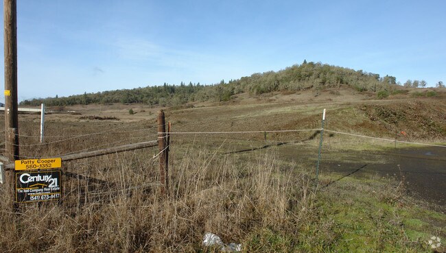
0 N Umpqua Hwy
Roseburg, OR
P.P. 1991-48, PARCEL 2 (OUT SAN) SEE R67444, R67507, & R129112 FOR BAL, ACRES 0.20
R67507
DOUGLAS
Industrialacreage
Oregon
M2
2.51 AC
2025
Oregon West Area
2025
Other Market Areas
120001
NEARBY LISTINGS FOR SALE OR LEASE
DEMOGRAPHICS near 0 N Umpqua Hwy
1 mile
3 mile
5 mile
2025 Total Population
662
12,216
33,208
2030 Population
697
12,581
33,835
Pop Growth 2025-2030
+ 5.29%
+ 2.99%
+ 1.89%
Average Age
39
42
43
2025 Total Households
265
5,259
14,021
HH Growth 2025-2030
+ 5.28%
+ 3.00%
+ 1.90%
Median Household Inc
$54,523
$53,936
$55,795
Avg Household Size
2.50
2.20
2.20
2025 Avg HH Vehicles
2.00
2.00
2.00
Median Home Value
$294,680
$299,470
$311,917
Median Year Built
1981
1965
1975
Nearby Places
Map Layers
Map Styles
 Street
 Aerial
Transit
 Traffic
 Biking
Places
Listings with unknown addresses are not visible on the map
- Restaurants
- Banks
- Shops
- Fitness
- Groceries
SALE & LEASE HISTORY
LISTING DATE
SALE/LEASE

Sep 24, 2016
For Sale
Oct 21, 2019
For Sale
Feb 18, 2025
For Sale
Aug 28, 2018
For Sale
Nearby Properties
Address
Land Use
TOTAL SIZE
Lot Size
Zoning
Address
Land Use
TOTAL SIZE
Lot Size
Zoning
1,000 SF
18.99 AC
PR
Address
Land Use
TOTAL SIZE
Lot Size
Zoning
239,143 SF
6.29 AC
PR
Address
Land Use
TOTAL SIZE
Lot Size
Zoning
145,644 SF
9.08 AC
MU
Address
Land Use
TOTAL SIZE
Lot Size
Zoning
90,785 SF
2.76 AC
PR
Address
Land Use
TOTAL SIZE
Lot Size
Zoning
1,713 SF
7 AC
MU
Address
Land Use
TOTAL SIZE
Lot Size
Zoning
89,208 SF
5.01 AC
MU
Address
Land Use
TOTAL SIZE
Lot Size
Zoning
15.99 AC
M3
Address
Land Use
TOTAL SIZE
Lot Size
Zoning
129,644 SF
4.85 AC
MU
Address
Land Use
TOTAL SIZE
Lot Size
Zoning
41,353 SF
4.18 AC
C3
Address
Land Use
TOTAL SIZE
Lot Size
Zoning
1,000 SF
26.34 AC
PR
Address
Land Use
TOTAL SIZE
Lot Size
Zoning
55,836 SF
3.97 AC
C3
Address
Land Use
TOTAL SIZE
Lot Size
Zoning
100 SF
3.10 AC
C3
Address
Land Use
TOTAL SIZE
Lot Size
Zoning
44,750 SF
2.47 AC
MR29
Address
Land Use
TOTAL SIZE
Lot Size
Zoning
40,543 SF
4.43 AC
C3
Address
Land Use
TOTAL SIZE
Lot Size
Zoning
20,100 SF
0.30 AC
PR
Address
Land Use
TOTAL SIZE
Lot Size
Zoning
40,000 SF
2.66 AC
C3
Address
Land Use
TOTAL SIZE
Lot Size
Zoning
75,770 SF
6.79 AC
PR
Address
Land Use
TOTAL SIZE
Lot Size
Zoning
66,723 SF
5.70 AC
C3
Address
Land Use
TOTAL SIZE
Lot Size
Zoning
49,903 SF
10.46 AC
PR
Address
Land Use
TOTAL SIZE
Lot Size
Zoning
40,240 SF
1.05 AC
C3
Address
Land Use
TOTAL SIZE
Lot Size
Zoning
9,200 SF
1.45 AC
MU
Address
Land Use
TOTAL SIZE
Lot Size
Zoning
30,000 SF
11.92 AC
PR
Address
Land Use
TOTAL SIZE
Lot Size
Zoning
25,960 SF
1.48 AC
C3
Address
Land Use
TOTAL SIZE
Lot Size
Zoning
37,118 SF
1.12 AC
C3
Address
Land Use
TOTAL SIZE
Lot Size
Zoning
11.78 AC
M3
Address
Land Use
TOTAL SIZE
Lot Size
Zoning
33,943 SF
3.04 AC
C3
Address
Land Use
TOTAL SIZE
Lot Size
Zoning
36,960 SF
2.67 AC
C3
Address
Land Use
TOTAL SIZE
Lot Size
Zoning
17.83 AC
PR
Address
Land Use
TOTAL SIZE
Lot Size
Zoning
28,188 SF
2.73 AC
MU
Address
Land Use
TOTAL SIZE
Lot Size
Zoning
61,700 SF
9.38 AC
M3
The World's #1 Commercial Real Estate Marketplace
Connect with us
© 2026 CoStar Group
The information above has been obtained from sources believed reliable. While we do not doubt its accuracy we have not verified it and make no guarantee, warranty or representation about it. It is your responsibility to independently confirm its accuracy and completeness. Any projections, opinions, assumptions, or estimates used are for example only and do not represent the current or future performance of the property. The value of this transaction to you depends on tax and other factors which should be evaluated by your tax, financial, and legal advisors. You and your advisors should conduct a careful, independent investigation of the property to determine to your satisfaction the suitability of the property for your needs.