Property Record
Fairburn Rd Sw, South Fulton, GA 30331

NEARBY LISTINGS FOR SALE OR LEASE
Property Detail
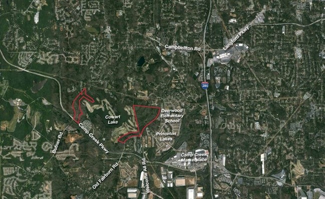
Fairburn Rd Sw
Atlanta-Sandy Springs-Roswell, GA
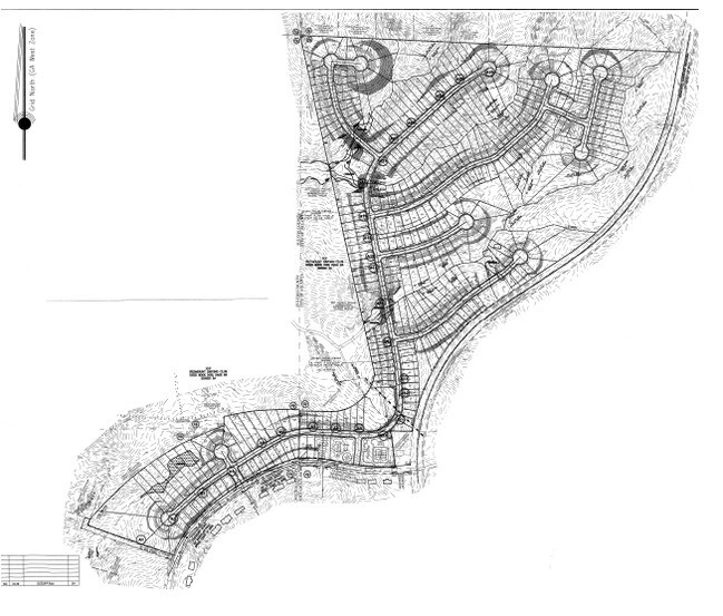
Cowart Lake Ventures Lp
14F-0039-LL-085-2
2016 CUVA GRANTED 2 PARCELS 1 COVENANT SEE TIEBACK CUVA BREACH WITH NO PENALTY. ME FOR 2023
Agriculturalland
Fulton
X
Georgia
13121C0342F
11.28 AC
2023
North Clayton/Airport
2025
Atlanta
007810
DEMOGRAPHICS near Fairburn Rd Sw
1 Mile
3 Mile
5 Mile
2024 Total Population
4,993
50,647
134,082
2029 Population
5,120
52,168
138,576
Pop Growth 2024-2029
+ 2.54%
+ 3.00%
+ 3.35%
Average Age
36
39
39
2024 Total Households
1,939
20,778
54,223
HH Growth 2024-2029
+ 2.68%
+ 2.96%
+ 3.38%
Median Household Inc
$87,844
$64,462
$59,992
Avg Household Size
2.50
2.40
2.40
2024 Avg HH Vehicles
2.00
2.00
2.00
Median Home Value
$268,615
$257,061
$257,300
Median Year Built
2000
1991
1983
Nearby Places
Map Layers
Map Styles
 Street
 Aerial
- Restaurants
- Banks
- Shops
- Fitness
- Groceries
PUBLIC TRANSPORTATION
AIRPORT
Hartsfield - Jackson Atlanta International
DRIVE
WALK
Distance
Hartsfield - Jackson Atlanta International
19 min
11.5 mi
Freight Ports
Georgia Ports - Savannah
DRIVE
WALK
Distance
Georgia Ports - Savannah
281 min
248.8 mi
Nearby Properties
Address
Land Use
TOTAL SIZE
Lot Size
Zoning
Address
Land Use
TOTAL SIZE
Lot Size
Zoning
196,294 SF
0.49 AC
R1
Address
Land Use
TOTAL SIZE
Lot Size
Zoning
356,458 SF
18.72 AC
PDMU
Address
Land Use
TOTAL SIZE
Lot Size
Zoning
802,908 SF
18.26 AC
RG3
Address
Land Use
TOTAL SIZE
Lot Size
Zoning
4,455,803 SF
16.39 AC
C2
Address
Land Use
TOTAL SIZE
Lot Size
Zoning
6,069,632 SF
26.42 AC
R4
Address
Land Use
TOTAL SIZE
Lot Size
Zoning
330,838 SF
13.71 AC
PDMU
Address
Land Use
TOTAL SIZE
Lot Size
Zoning
5,459 SF
12.97 AC
C1
Address
Land Use
TOTAL SIZE
Lot Size
Zoning
282,610 SF
11.20 AC
C1
Address
Land Use
TOTAL SIZE
Lot Size
Zoning
235,301 SF
27.20 AC
C2MC
Address
Land Use
TOTAL SIZE
Lot Size
Zoning
364,391 SF
25.33 AC
R4
Address
Land Use
TOTAL SIZE
Lot Size
Zoning
920,396 SF
62.40 AC
R3
Address
Land Use
TOTAL SIZE
Lot Size
Zoning
997,011 SF
68.07 AC
M1
Address
Land Use
TOTAL SIZE
Lot Size
Zoning
663,520 SF
62.96 AC
C1
Address
Land Use
TOTAL SIZE
Lot Size
Zoning
213,314 SF
16.48 AC
C2C
Address
Land Use
TOTAL SIZE
Lot Size
Zoning
2,057,484 SF
14.78 AC
R4
Address
Land Use
TOTAL SIZE
Lot Size
Zoning
17,174,332 SF
39.44 AC
R3
Address
Land Use
TOTAL SIZE
Lot Size
Zoning
135,211 SF
51.76 AC
OI
Address
Land Use
TOTAL SIZE
Lot Size
Zoning
634,503 SF
19.94 AC
R3
Address
Land Use
TOTAL SIZE
Lot Size
Zoning
3,289,702 SF
16.23 AC
C1C
Address
Land Use
TOTAL SIZE
Lot Size
Zoning
42.90 AC
R4
Address
Land Use
TOTAL SIZE
Lot Size
Zoning
602,694 SF
9.32 AC
C1
Address
Land Use
TOTAL SIZE
Lot Size
Zoning
28.58 AC
Address
Land Use
TOTAL SIZE
Lot Size
Zoning
619,194 SF
49.22 AC
R3
Address
Land Use
TOTAL SIZE
Lot Size
Zoning
274,563 SF
65.24 AC
C2
Address
Land Use
TOTAL SIZE
Lot Size
Zoning
7,229,804 SF
29.30 AC
AC
Address
Land Use
TOTAL SIZE
Lot Size
Zoning
2,563,484 SF
12.54 AC
MF
Address
Land Use
TOTAL SIZE
Lot Size
Zoning
327,250 SF
23.20 AC
R3
Address
Land Use
TOTAL SIZE
Lot Size
Zoning
2,002,026 SF
17.51 AC
RLC
Address
Land Use
TOTAL SIZE
Lot Size
Zoning
773,776 SF
61.42 AC
M1
Address
Land Use
TOTAL SIZE
Lot Size
Zoning
669,152 SF
39.13 AC
M1C
The World's #1 Commercial Real Estate Marketplace
Connect with us
© 2026 CoStar Group
The information above has been obtained from sources believed reliable. While we do not doubt its accuracy we have not verified it and make no guarantee, warranty or representation about it. It is your responsibility to independently confirm its accuracy and completeness. Any projections, opinions, assumptions, or estimates used are for example only and do not represent the current or future performance of the property. The value of this transaction to you depends on tax and other factors which should be evaluated by your tax, financial, and legal advisors. You and your advisors should conduct a careful, independent investigation of the property to determine to your satisfaction the suitability of the property for your needs.