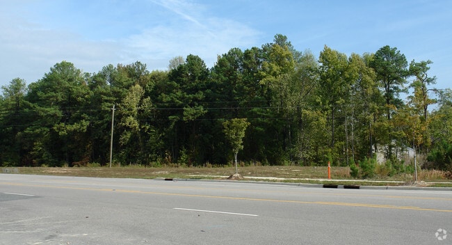
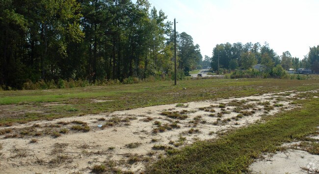
Property Record
0 Rogers Rd, Wake Forest, NC 27587

Property Detail
0 Rogers Rd
1759.01-35-4890-000
FREEMAN LD
Vacantlandnec
WAKE
RL
North Carolina
AE The base floodplain where base flood elevations are provided. AE Zones are now used on new format FIRMs instead of A1-A30 Zones.
1.52 AC
2025
Route 1
2025
Raleigh/Durham
054206
Raleigh-Cary, NC
NEARBY LISTINGS FOR SALE OR LEASE
DEMOGRAPHICS near 0 Rogers Rd
1 mile
3 mile
5 mile
2025 Total Population
5,230
32,167
90,013
2030 Population
5,697
34,978
97,914
Pop Growth 2025-2030
+ 8.93%
+ 8.74%
+ 8.78%
Average Age
39
39
39
2025 Total Households
1,713
10,603
32,183
HH Growth 2025-2030
+ 9.34%
+ 9.13%
+ 9.18%
Median Household Inc
$143,321
$146,227
$121,439
Avg Household Size
3.00
3.00
2.80
2025 Avg HH Vehicles
2.00
2.00
2.00
Median Home Value
$587,799
$528,642
$462,157
Median Year Built
2010
2010
2008
Nearby Places
Map Layers
Map Styles
 Street
 Aerial
Layers
 Traffic
 Biking
Places
Listings with unknown addresses are not visible on the map
- Restaurants
- Banks
- Shops
- Fitness
- Groceries
PUBLIC TRANSPORTATION
AIRPORT
Raleigh-Durham International
Drive
Walk
Distance
Raleigh-Durham International
34 min
22.2 mi
Freight Ports
Virginia Port Authority - Richmond
Drive
Walk
Distance
Virginia Port Authority - Richmond
169 min
139.8 mi
Nearby Properties
Address
Land Use
TOTAL SIZE
Lot Size
Zoning
Address
Land Use
TOTAL SIZE
Lot Size
Zoning
340,702 SF
121.26 AC
RM-CZ
Address
Land Use
TOTAL SIZE
Lot Size
Zoning
378,421 SF
19.06 AC
RMX
Address
Land Use
TOTAL SIZE
Lot Size
Zoning
283,870 SF
11.39 AC
RMX
Address
Land Use
TOTAL SIZE
Lot Size
Zoning
263,777 SF
93.84 AC
GR3
Address
Land Use
TOTAL SIZE
Lot Size
Zoning
232,734 SF
57.28 AC
GR3
Address
Land Use
TOTAL SIZE
Lot Size
Zoning
243,797 SF
22.57 AC
GR10
Address
Land Use
TOTAL SIZE
Lot Size
Zoning
248,945 SF
16.41 AC
GR10
Address
Land Use
TOTAL SIZE
Lot Size
Zoning
225,390 SF
14.95 AC
GR10
Address
Land Use
TOTAL SIZE
Lot Size
Zoning
227,653 SF
10.84 AC
TC
Address
Land Use
TOTAL SIZE
Lot Size
Zoning
162,909 SF
9.84 AC
RMX
Address
Land Use
TOTAL SIZE
Lot Size
Zoning
196,091 SF
37.21 AC
RL
Address
Land Use
TOTAL SIZE
Lot Size
Zoning
186,546 SF
6.84 AC
RMX
Address
Land Use
TOTAL SIZE
Lot Size
Zoning
139,600 SF
23.64 AC
LI
Address
Land Use
TOTAL SIZE
Lot Size
Zoning
100,625 SF
16.39 AC
RL
Address
Land Use
TOTAL SIZE
Lot Size
Zoning
111,616 SF
4.69 AC
NMX
Address
Land Use
TOTAL SIZE
Lot Size
Zoning
129,612 SF
42.06 AC
ICD
Address
Land Use
TOTAL SIZE
Lot Size
Zoning
115,800 SF
19.15 AC
LI
Address
Land Use
TOTAL SIZE
Lot Size
Zoning
107,082 SF
4.17 AC
RMX
Address
Land Use
TOTAL SIZE
Lot Size
Zoning
210,619 SF
18.73 AC
HB
Address
Land Use
TOTAL SIZE
Lot Size
Zoning
88,053 SF
12.16 AC
GR10
Address
Land Use
TOTAL SIZE
Lot Size
Zoning
101,307 SF
21 AC
HB
Address
Land Use
TOTAL SIZE
Lot Size
Zoning
60,618 SF
5.06 AC
HB
Address
Land Use
TOTAL SIZE
Lot Size
Zoning
71,351 SF
9.83 AC
NB
Address
Land Use
TOTAL SIZE
Lot Size
Zoning
100,813 SF
12.76 AC
NB
Address
Land Use
TOTAL SIZE
Lot Size
Zoning
74,000 SF
20 AC
R-30
Address
Land Use
TOTAL SIZE
Lot Size
Zoning
47,984 SF
4.44 AC
NB
Address
Land Use
TOTAL SIZE
Lot Size
Zoning
53,707 SF
17.07 AC
RL
Address
Land Use
TOTAL SIZE
Lot Size
Zoning
64,800 SF
3.29 AC
RMX
Address
Land Use
TOTAL SIZE
Lot Size
Zoning
68,489 SF
7.26 AC
NB
Address
Land Use
TOTAL SIZE
Lot Size
Zoning
45,723 SF
8.96 AC
GC
The World's #1 Commercial Real Estate Marketplace
Connect with us
© 2026 CoStar Group
The information above has been obtained from sources believed reliable. While we do not doubt its accuracy we have not verified it and make no guarantee, warranty or representation about it. It is your responsibility to independently confirm its accuracy and completeness. Any projections, opinions, assumptions, or estimates used are for example only and do not represent the current or future performance of the property. The value of this transaction to you depends on tax and other factors which should be evaluated by your tax, financial, and legal advisors. You and your advisors should conduct a careful, independent investigation of the property to determine to your satisfaction the suitability of the property for your needs.