Property Record
0 Rollingbrook Dr, Baytown, TX 77521
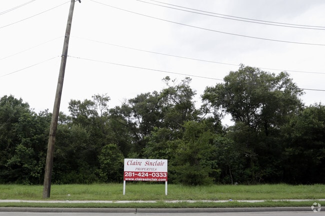


Property Detail
0 Rollingbrook Dr
Houston-Pasadena-The Woodlands, TX
TR 13 ABST 66 W SCOTT
0410220020352
HARRIS
Commercialacreage
Texas
AE The base floodplain where base flood elevations are provided. AE Zones are now used on new format FIRMs instead of A1-A30 Zones.
38.25 AC
0
Baytown
2025
Houston
253202
NEARBY LISTINGS FOR SALE OR LEASE
DEMOGRAPHICS near 0 Rollingbrook Dr
1 mile
3 mile
5 mile
2025 Total Population
13,774
67,529
114,509
2030 Population
14,664
72,402
123,185
Pop Growth 2025-2030
+ 6.46%
+ 7.22%
+ 7.58%
Average Age
36
36
36
2025 Total Households
5,606
23,941
39,479
HH Growth 2025-2030
+ 6.58%
+ 7.35%
+ 7.69%
Median Household Inc
$60,237
$57,690
$66,131
Avg Household Size
2.40
2.70
2.80
2025 Avg HH Vehicles
2.00
2.00
2.00
Median Home Value
$257,579
$190,923
$226,810
Median Year Built
1995
1981
1986
Nearby Places
Map Layers
Map Styles
 Street
 Aerial
Transit
 Traffic
 Biking
Places
Listings with unknown addresses are not visible on the map
- Restaurants
- Banks
- Shops
- Fitness
- Groceries
PUBLIC TRANSPORTATION
AIRPORT
William P Hobby
Drive
Walk
Distance
William P Hobby
43 min
28.2 mi
George Bush Intcntl/Houston
Drive
Walk
Distance
George Bush Intcntl/Houston
41 min
33.8 mi
Freight Ports
Port of Houston
Drive
Walk
Distance
Port of Houston
31 min
21.6 mi
SALE & LEASE HISTORY
LISTING DATE
SALE/LEASE

Jul 12, 2017
For Sale
Aug 08, 2017
For Sale
Nearby Properties
Address
Land Use
TOTAL SIZE
Lot Size
Zoning
Address
Land Use
TOTAL SIZE
Lot Size
Zoning
1,019.77 AC
Address
Land Use
TOTAL SIZE
Lot Size
Zoning
Address
Land Use
TOTAL SIZE
Lot Size
Zoning
815.98 AC
Address
Land Use
TOTAL SIZE
Lot Size
Zoning
857.55 AC
Address
Land Use
TOTAL SIZE
Lot Size
Zoning
1,019 AC
Address
Land Use
TOTAL SIZE
Lot Size
Zoning
Address
Land Use
TOTAL SIZE
Lot Size
Zoning
816.17 AC
Address
Land Use
TOTAL SIZE
Lot Size
Zoning
816.17 AC
Address
Land Use
TOTAL SIZE
Lot Size
Zoning
383,631 SF
22.45 AC
Address
Land Use
TOTAL SIZE
Lot Size
Zoning
874.07 AC
Address
Land Use
TOTAL SIZE
Lot Size
Zoning
323,413 SF
26.41 AC
Address
Land Use
TOTAL SIZE
Lot Size
Zoning
352,067 SF
19.78 AC
Address
Land Use
TOTAL SIZE
Lot Size
Zoning
284,794 SF
10.18 AC
Address
Land Use
TOTAL SIZE
Lot Size
Zoning
251,498 SF
16.36 AC
Address
Land Use
TOTAL SIZE
Lot Size
Zoning
103.45 AC
Address
Land Use
TOTAL SIZE
Lot Size
Zoning
209,703 SF
11.18 AC
Address
Land Use
TOTAL SIZE
Lot Size
Zoning
225,497 SF
10.90 AC
Address
Land Use
TOTAL SIZE
Lot Size
Zoning
313,810 SF
20 AC
Address
Land Use
TOTAL SIZE
Lot Size
Zoning
Address
Land Use
TOTAL SIZE
Lot Size
Zoning
238,488 SF
13 AC
Address
Land Use
TOTAL SIZE
Lot Size
Zoning
454,992 SF
Address
Land Use
TOTAL SIZE
Lot Size
Zoning
122,554 SF
12.85 AC
Address
Land Use
TOTAL SIZE
Lot Size
Zoning
71,560 SF
17.89 AC
Address
Land Use
TOTAL SIZE
Lot Size
Zoning
103,107 SF
15.56 AC
Address
Land Use
TOTAL SIZE
Lot Size
Zoning
205,859 SF
10.88 AC
Address
Land Use
TOTAL SIZE
Lot Size
Zoning
214,627 SF
13.77 AC
Address
Land Use
TOTAL SIZE
Lot Size
Zoning
247,218 SF
12.44 AC
Address
Land Use
TOTAL SIZE
Lot Size
Zoning
816.17 AC
Address
Land Use
TOTAL SIZE
Lot Size
Zoning
282,661 SF
14.68 AC
Address
Land Use
TOTAL SIZE
Lot Size
Zoning
100,274 SF
17.63 AC
The World's #1 Commercial Real Estate Marketplace
Connect with us
© 2026 CoStar Group
The information above has been obtained from sources believed reliable. While we do not doubt its accuracy we have not verified it and make no guarantee, warranty or representation about it. It is your responsibility to independently confirm its accuracy and completeness. Any projections, opinions, assumptions, or estimates used are for example only and do not represent the current or future performance of the property. The value of this transaction to you depends on tax and other factors which should be evaluated by your tax, financial, and legal advisors. You and your advisors should conduct a careful, independent investigation of the property to determine to your satisfaction the suitability of the property for your needs.