Property Record
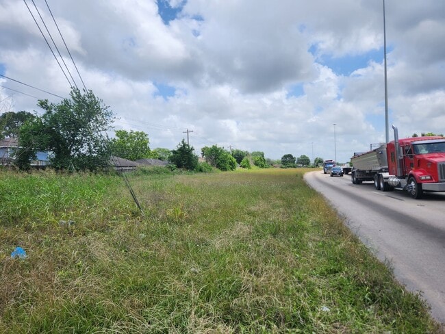
0 S Sam Houston Pkwy W, Houston, TX 77053

This Property Is For Sale
NEARBY LISTINGS FOR SALE OR LEASE
Property Detail
0 S Sam Houston Pkwy W
Houston-The Woodlands-Sugar Land, TX
Briarwick Sec 4
1097930000038
RES A2 BLK 5 BRIARWICK SEC 4
Commercialacreage
Harris
X
Texas
48157C0305M
1.83 AC
2024
South
2025
Houston
670101
DEMOGRAPHICS near 0 S Sam Houston Pkwy W
1 Mile
3 Mile
5 Mile
2024 Total Population
18,005
85,831
264,083
2029 Population
20,267
93,977
289,988
Pop Growth 2024-2029
+ 12.56%
+ 9.49%
+ 9.81%
Average Age
36
37
37
2024 Total Households
5,180
26,395
87,301
HH Growth 2024-2029
+ 13.20%
+ 10.03%
+ 9.90%
Median Household Inc
$53,985
$59,449
$68,068
Avg Household Size
3.40
3.20
3.00
2024 Avg HH Vehicles
2.00
2.00
2.00
Median Home Value
$99,449
$140,690
$198,266
Median Year Built
1977
1982
1988
Nearby Places
Map Layers
Map Styles
 Street
 Aerial
- Restaurants
- Banks
- Shops
- Fitness
- Groceries
PUBLIC TRANSPORTATION
AIRPORT
William P Hobby
DRIVE
WALK
Distance
William P Hobby
25 min
14.5 mi
George Bush Intcntl/Houston
DRIVE
WALK
Distance
George Bush Intcntl/Houston
47 min
34.9 mi
Freight Ports
Port of Houston
DRIVE
WALK
Distance
Port of Houston
32 min
19.9 mi
Nearby Properties
Address
Land Use
TOTAL SIZE
Lot Size
Zoning
Address
Land Use
TOTAL SIZE
Lot Size
Zoning
1,139,160 SF
75.11 AC
Address
Land Use
TOTAL SIZE
Lot Size
Zoning
542,333 SF
43.95 AC
Address
Land Use
TOTAL SIZE
Lot Size
Zoning
305,512 SF
13.74 AC
Address
Land Use
TOTAL SIZE
Lot Size
Zoning
429,368 SF
27.94 AC
Address
Land Use
TOTAL SIZE
Lot Size
Zoning
534,800 SF
33.43 AC
Address
Land Use
TOTAL SIZE
Lot Size
Zoning
670,850 SF
35.98 AC
Address
Land Use
TOTAL SIZE
Lot Size
Zoning
423,270 SF
32.95 AC
Address
Land Use
TOTAL SIZE
Lot Size
Zoning
281,889 SF
10.84 AC
Address
Land Use
TOTAL SIZE
Lot Size
Zoning
383,515 SF
12.61 AC
Address
Land Use
TOTAL SIZE
Lot Size
Zoning
186,759 SF
42.60 AC
Address
Land Use
TOTAL SIZE
Lot Size
Zoning
240,000 SF
12.45 AC
Address
Land Use
TOTAL SIZE
Lot Size
Zoning
306,103 SF
64.07 AC
QY
Address
Land Use
TOTAL SIZE
Lot Size
Zoning
19.33 AC
Address
Land Use
TOTAL SIZE
Lot Size
Zoning
209,728 SF
11.93 AC
Address
Land Use
TOTAL SIZE
Lot Size
Zoning
84,673 SF
9.57 AC
X
Address
Land Use
TOTAL SIZE
Lot Size
Zoning
3,108 SF
57.41 AC
Address
Land Use
TOTAL SIZE
Lot Size
Zoning
179,599 SF
16.45 AC
Address
Land Use
TOTAL SIZE
Lot Size
Zoning
176,000 SF
14.15 AC
Address
Land Use
TOTAL SIZE
Lot Size
Zoning
169,176 SF
24.31 AC
Address
Land Use
TOTAL SIZE
Lot Size
Zoning
280,727 SF
11.25 AC
Address
Land Use
TOTAL SIZE
Lot Size
Zoning
85,224 SF
14.14 AC
Address
Land Use
TOTAL SIZE
Lot Size
Zoning
95,150 SF
27.91 AC
Address
Land Use
TOTAL SIZE
Lot Size
Zoning
152,940 SF
9.51 AC
Address
Land Use
TOTAL SIZE
Lot Size
Zoning
172,900 SF
12.98 AC
Address
Land Use
TOTAL SIZE
Lot Size
Zoning
880 SF
14.36 AC
Address
Land Use
TOTAL SIZE
Lot Size
Zoning
113,040 SF
8.14 AC
Address
Land Use
TOTAL SIZE
Lot Size
Zoning
77,941 SF
103.54 AC
Address
Land Use
TOTAL SIZE
Lot Size
Zoning
112,500 SF
7 AC
Address
Land Use
TOTAL SIZE
Lot Size
Zoning
103,950 SF
2.16 AC
Address
Land Use
TOTAL SIZE
Lot Size
Zoning
114,100 SF
6.35 AC
The World's #1 Commercial Real Estate Marketplace
Connect with us
© 2026 CoStar Group
The information above has been obtained from sources believed reliable. While we do not doubt its accuracy we have not verified it and make no guarantee, warranty or representation about it. It is your responsibility to independently confirm its accuracy and completeness. Any projections, opinions, assumptions, or estimates used are for example only and do not represent the current or future performance of the property. The value of this transaction to you depends on tax and other factors which should be evaluated by your tax, financial, and legal advisors. You and your advisors should conduct a careful, independent investigation of the property to determine to your satisfaction the suitability of the property for your needs.