Property Record
Sanders, Simonton, TX 77476
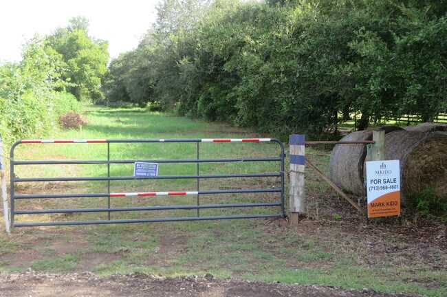

Property Detail
Sanders
Houston-Pasadena-The Woodlands, TX
0079 N F ROBERTS, TRACT 3 (PT), ACRES 47.628, (PART OF A 50.003 ACRE TRACT)
0079-00-000-0411-901
FORT BEND
Taxexempt
Texas
STM
c
AE The base floodplain where base flood elevations are provided. AE Zones are now used on new format FIRMs instead of A1-A30 Zones.
47.63 AC
0
Southwest Outlier
2025
Houston
673300
NEARBY LISTINGS FOR SALE OR LEASE
DEMOGRAPHICS near Sanders
1 mile
3 mile
5 mile
2025 Total Population
70
5,662
15,390
2030 Population
80
6,540
18,069
Pop Growth 2025-2030
+ 14.29%
+ 15.51%
+ 17.41%
Average Age
46
45
42
2025 Total Households
25
2,057
5,321
HH Growth 2025-2030
+ 16.00%
+ 15.90%
+ 17.67%
Median Household Inc
$143,749
$147,207
$152,156
Avg Household Size
2.80
2.80
2.90
2025 Avg HH Vehicles
2.00
2.00
2.00
Median Home Value
$666,666
$682,932
$645,104
Median Year Built
2010
2010
2010
Nearby Places
Map Layers
Map Styles
 Street
 Aerial
Transit
 Traffic
 Biking
Places
Listings with unknown addresses are not visible on the map
- Restaurants
- Banks
- Shops
- Fitness
- Groceries
SALE & LEASE HISTORY
LISTING DATE
SALE/LEASE

Jul 17, 2018
For Sale
Nearby Properties
Address
Land Use
TOTAL SIZE
Lot Size
Zoning
Address
Land Use
TOTAL SIZE
Lot Size
Zoning
4.73 AC
Z
Address
Land Use
TOTAL SIZE
Lot Size
Zoning
26.67 AC
Address
Land Use
TOTAL SIZE
Lot Size
Zoning
64,399 SF
16.49 AC
Address
Land Use
TOTAL SIZE
Lot Size
Zoning
11,426 SF
267.64 AC
Address
Land Use
TOTAL SIZE
Lot Size
Zoning
64,157 SF
2.30 AC
S
Address
Land Use
TOTAL SIZE
Lot Size
Zoning
2,400 SF
9.11 AC
Address
Land Use
TOTAL SIZE
Lot Size
Zoning
13,716 SF
30.73 AC
Address
Land Use
TOTAL SIZE
Lot Size
Zoning
7,180 SF
128.17 AC
Address
Land Use
TOTAL SIZE
Lot Size
Zoning
6,698 SF
20 AC
RA
Address
Land Use
TOTAL SIZE
Lot Size
Zoning
0.94 AC
Address
Land Use
TOTAL SIZE
Lot Size
Zoning
10,378 SF
18.49 AC
OS
Address
Land Use
TOTAL SIZE
Lot Size
Zoning
2,288 SF
64.89 AC
QY
Address
Land Use
TOTAL SIZE
Lot Size
Zoning
5,250 SF
1.76 AC
Address
Land Use
TOTAL SIZE
Lot Size
Zoning
1.61 AC
Address
Land Use
TOTAL SIZE
Lot Size
Zoning
37,700 SF
3.54 AC
Address
Land Use
TOTAL SIZE
Lot Size
Zoning
720 SF
199.34 AC
Address
Land Use
TOTAL SIZE
Lot Size
Zoning
5.70 AC
Address
Land Use
TOTAL SIZE
Lot Size
Zoning
1,481 SF
26.12 AC
Address
Land Use
TOTAL SIZE
Lot Size
Zoning
16.92 AC
Address
Land Use
TOTAL SIZE
Lot Size
Zoning
17,180 SF
3 AC
R
Address
Land Use
TOTAL SIZE
Lot Size
Zoning
45,640 SF
8.69 AC
SQ
Address
Land Use
TOTAL SIZE
Lot Size
Zoning
6,299 SF
1.58 AC
T
Address
Land Use
TOTAL SIZE
Lot Size
Zoning
7,784 SF
1.27 AC
Address
Land Use
TOTAL SIZE
Lot Size
Zoning
23.04 AC
AOS
Address
Land Use
TOTAL SIZE
Lot Size
Zoning
1,575 SF
14 AC
Address
Land Use
TOTAL SIZE
Lot Size
Zoning
6,074 SF
1.57 AC
A
Address
Land Use
TOTAL SIZE
Lot Size
Zoning
0.66 AC
Address
Land Use
TOTAL SIZE
Lot Size
Zoning
5,240 SF
1.01 AC
R
Address
Land Use
TOTAL SIZE
Lot Size
Zoning
49.63 AC
OQT
Address
Land Use
TOTAL SIZE
Lot Size
Zoning
0.71 AC
The World's #1 Commercial Real Estate Marketplace
Connect with us
© 2026 CoStar Group
The information above has been obtained from sources believed reliable. While we do not doubt its accuracy we have not verified it and make no guarantee, warranty or representation about it. It is your responsibility to independently confirm its accuracy and completeness. Any projections, opinions, assumptions, or estimates used are for example only and do not represent the current or future performance of the property. The value of this transaction to you depends on tax and other factors which should be evaluated by your tax, financial, and legal advisors. You and your advisors should conduct a careful, independent investigation of the property to determine to your satisfaction the suitability of the property for your needs.