Property Record
Spell Rd, Needville, TX 77461

Property Detail
Spell Rd
Houston-Pasadena-The Woodlands, TX
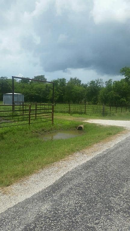
0098 R D WOOD, ACRES 17.92, PARCEL D, TRACT 7D
0098-00-000-9036-906
FORT BEND
Ranch
Texas
AE The base floodplain where base flood elevations are provided. AE Zones are now used on new format FIRMs instead of A1-A30 Zones.
17.92 AC
2024
Southwest Outlier
2025
Houston
675600
NEARBY LISTINGS FOR SALE OR LEASE
-
-
View all Needville listings for sale on LoopNet.com
DEMOGRAPHICS near Spell Rd
1 mile
3 mile
5 mile
2025 Total Population
127
1,345
2,506
2030 Population
145
1,498
2,795
Pop Growth 2025-2030
+ 14.17%
+ 11.38%
+ 11.53%
Average Age
38
39
40
2025 Total Households
42
461
867
HH Growth 2025-2030
+ 14.29%
+ 11.50%
+ 11.65%
Median Household Inc
$101,250
$92,499
$77,778
Avg Household Size
3.10
2.90
2.90
2025 Avg HH Vehicles
2.00
2.00
2.00
Median Home Value
$474,999
$381,689
$348,837
Median Year Built
1995
1994
1993
Nearby Places
Map Layers
Map Styles
 Street
 Aerial
Layers
 Traffic
 Biking
Places
Listings with unknown addresses are not visible on the map
- Restaurants
- Banks
- Shops
- Fitness
- Groceries
SALE & LEASE HISTORY
LISTING DATE
SALE/LEASE

Mar 13, 2018
For Sale
Nearby Properties
Address
Land Use
TOTAL SIZE
Lot Size
Zoning
Address
Land Use
TOTAL SIZE
Lot Size
Zoning
1,682.54 AC
Address
Land Use
TOTAL SIZE
Lot Size
Zoning
2,400 SF
4 AC
Address
Land Use
TOTAL SIZE
Lot Size
Zoning
6,773 SF
1.10 AC
Address
Land Use
TOTAL SIZE
Lot Size
Zoning
4,590 SF
2 AC
Address
Land Use
TOTAL SIZE
Lot Size
Zoning
2,108 SF
7.75 AC
S
Address
Land Use
TOTAL SIZE
Lot Size
Zoning
3,008 SF
10 AC
A
Address
Land Use
TOTAL SIZE
Lot Size
Zoning
4,244 SF
32.46 AC
Address
Land Use
TOTAL SIZE
Lot Size
Zoning
5,705 SF
15.94 AC
Address
Land Use
TOTAL SIZE
Lot Size
Zoning
4,079 SF
1.06 AC
Address
Land Use
TOTAL SIZE
Lot Size
Zoning
356.74 AC
Address
Land Use
TOTAL SIZE
Lot Size
Zoning
2,411 SF
2.17 AC
Address
Land Use
TOTAL SIZE
Lot Size
Zoning
864 SF
6.64 AC
Address
Land Use
TOTAL SIZE
Lot Size
Zoning
3,600 SF
1.06 AC
Address
Land Use
TOTAL SIZE
Lot Size
Zoning
2,268 SF
1.50 AC
Address
Land Use
TOTAL SIZE
Lot Size
Zoning
Address
Land Use
TOTAL SIZE
Lot Size
Zoning
1,960 SF
50.86 AC
Address
Land Use
TOTAL SIZE
Lot Size
Zoning
952 SF
99.89 AC
YTRO
Address
Land Use
TOTAL SIZE
Lot Size
Zoning
3,392 SF
0.45 AC
X
Address
Land Use
TOTAL SIZE
Lot Size
Zoning
1,700 SF
7.60 AC
S
Address
Land Use
TOTAL SIZE
Lot Size
Zoning
2,256 SF
33.53 AC
Address
Land Use
TOTAL SIZE
Lot Size
Zoning
3,953 SF
0.99 AC
Address
Land Use
TOTAL SIZE
Lot Size
Zoning
6,042 SF
392.68 AC
Address
Land Use
TOTAL SIZE
Lot Size
Zoning
2,060 SF
1.14 AC
Address
Land Use
TOTAL SIZE
Lot Size
Zoning
Address
Land Use
TOTAL SIZE
Lot Size
Zoning
3,200 SF
35.10 AC
Address
Land Use
TOTAL SIZE
Lot Size
Zoning
Address
Land Use
TOTAL SIZE
Lot Size
Zoning
1,620 SF
0.95 AC
Address
Land Use
TOTAL SIZE
Lot Size
Zoning
2,200 SF
1.13 AC
RA
Address
Land Use
TOTAL SIZE
Lot Size
Zoning
2,310 SF
17.29 AC
Address
Land Use
TOTAL SIZE
Lot Size
Zoning
2,550 SF
1 AC
R
The World's #1 Commercial Real Estate Marketplace
Connect with us
© 2026 CoStar Group
The information above has been obtained from sources believed reliable. While we do not doubt its accuracy we have not verified it and make no guarantee, warranty or representation about it. It is your responsibility to independently confirm its accuracy and completeness. Any projections, opinions, assumptions, or estimates used are for example only and do not represent the current or future performance of the property. The value of this transaction to you depends on tax and other factors which should be evaluated by your tax, financial, and legal advisors. You and your advisors should conduct a careful, independent investigation of the property to determine to your satisfaction the suitability of the property for your needs.