Property Record
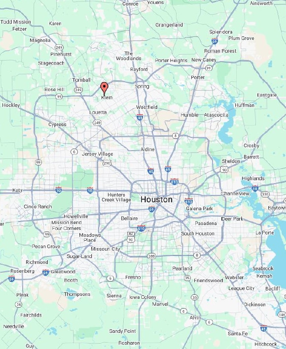
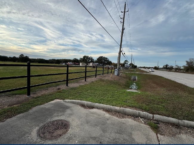
0 Stuebner Airline Rd, Spring, TX 77379


Property Detail
0 Stuebner Airline Rd
Houston-Pasadena-The Woodlands, TX
TR 6F-5 ABST 168 R T BLACKBURN
0420100000219
HARRIS
Agriculturalland
Texas
A Areas with a 1% annual chance of flooding and a 26% chance of flooding over the life of a 30-year mortgage.
11.59 AC
2025
Northwest Outlier
2025
Houston
553804
NEARBY LISTINGS FOR SALE OR LEASE
DEMOGRAPHICS near 0 Stuebner Airline Rd
1 mile
3 mile
5 mile
2025 Total Population
6,236
99,847
250,061
2030 Population
6,658
106,451
266,646
Pop Growth 2025-2030
+ 6.77%
+ 6.61%
+ 6.63%
Average Age
38
37
38
2025 Total Households
2,193
32,352
86,636
HH Growth 2025-2030
+ 6.98%
+ 6.81%
+ 6.81%
Median Household Inc
$104,221
$112,992
$100,570
Avg Household Size
2.80
3.00
2.80
2025 Avg HH Vehicles
2.00
2.00
2.00
Median Home Value
$364,821
$344,774
$331,767
Median Year Built
2008
2003
2001
Nearby Places
Map Layers
Map Styles
 Street
 Aerial
Layers
 Traffic
 Biking
Places
Listings with unknown addresses are not visible on the map
- Restaurants
- Banks
- Shops
- Fitness
- Groceries
PUBLIC TRANSPORTATION
AIRPORT
George Bush Intcntl/Houston
Drive
Walk
Distance
George Bush Intcntl/Houston
30 min
20.3 mi
Freight Ports
Port of Houston
Drive
Walk
Distance
Port of Houston
50 min
31.4 mi
SALE & LEASE HISTORY
LISTING DATE
SALE/LEASE

Jan 08, 2025
For Sale
Nearby Properties
Address
Land Use
TOTAL SIZE
Lot Size
Zoning
Address
Land Use
TOTAL SIZE
Lot Size
Zoning
379,180 SF
15.52 AC
Address
Land Use
TOTAL SIZE
Lot Size
Zoning
156,885 SF
26.24 AC
Address
Land Use
TOTAL SIZE
Lot Size
Zoning
341,895 SF
17.53 AC
Address
Land Use
TOTAL SIZE
Lot Size
Zoning
398,856 SF
12.76 AC
Address
Land Use
TOTAL SIZE
Lot Size
Zoning
375,293 SF
19.29 AC
Address
Land Use
TOTAL SIZE
Lot Size
Zoning
394,700 SF
17.34 AC
Address
Land Use
TOTAL SIZE
Lot Size
Zoning
343,806 SF
17.76 AC
Address
Land Use
TOTAL SIZE
Lot Size
Zoning
335,258 SF
12.18 AC
Address
Land Use
TOTAL SIZE
Lot Size
Zoning
328,692 SF
18.47 AC
Address
Land Use
TOTAL SIZE
Lot Size
Zoning
322,733 SF
18.40 AC
Address
Land Use
TOTAL SIZE
Lot Size
Zoning
332,688 SF
24.57 AC
Address
Land Use
TOTAL SIZE
Lot Size
Zoning
294,931 SF
10.94 AC
Address
Land Use
TOTAL SIZE
Lot Size
Zoning
413,131 SF
12.52 AC
Address
Land Use
TOTAL SIZE
Lot Size
Zoning
249,950 SF
15.92 AC
Address
Land Use
TOTAL SIZE
Lot Size
Zoning
267,082 SF
11.13 AC
Address
Land Use
TOTAL SIZE
Lot Size
Zoning
393,751 SF
17.08 AC
Address
Land Use
TOTAL SIZE
Lot Size
Zoning
148,450 SF
18.26 AC
Address
Land Use
TOTAL SIZE
Lot Size
Zoning
241,113 SF
6.29 AC
Address
Land Use
TOTAL SIZE
Lot Size
Zoning
188,265 SF
15.65 AC
Address
Land Use
TOTAL SIZE
Lot Size
Zoning
173,371 SF
5.17 AC
Address
Land Use
TOTAL SIZE
Lot Size
Zoning
253,800 SF
43.72 AC
Address
Land Use
TOTAL SIZE
Lot Size
Zoning
114,917 SF
18.61 AC
Address
Land Use
TOTAL SIZE
Lot Size
Zoning
145,051 SF
6.10 AC
Address
Land Use
TOTAL SIZE
Lot Size
Zoning
214,862 SF
14.92 AC
Address
Land Use
TOTAL SIZE
Lot Size
Zoning
106,618 SF
12.48 AC
Address
Land Use
TOTAL SIZE
Lot Size
Zoning
224,669 SF
15.40 AC
Address
Land Use
TOTAL SIZE
Lot Size
Zoning
96,300 SF
21.59 AC
Address
Land Use
TOTAL SIZE
Lot Size
Zoning
211,876 SF
21.78 AC
Address
Land Use
TOTAL SIZE
Lot Size
Zoning
202,728 SF
3.50 AC
Address
Land Use
TOTAL SIZE
Lot Size
Zoning
148,611 SF
5.84 AC
The World's #1 Commercial Real Estate Marketplace
Connect with us
© 2026 CoStar Group
The information above has been obtained from sources believed reliable. While we do not doubt its accuracy we have not verified it and make no guarantee, warranty or representation about it. It is your responsibility to independently confirm its accuracy and completeness. Any projections, opinions, assumptions, or estimates used are for example only and do not represent the current or future performance of the property. The value of this transaction to you depends on tax and other factors which should be evaluated by your tax, financial, and legal advisors. You and your advisors should conduct a careful, independent investigation of the property to determine to your satisfaction the suitability of the property for your needs.