Property Record
Taylor Dr, Flint, MI 48507
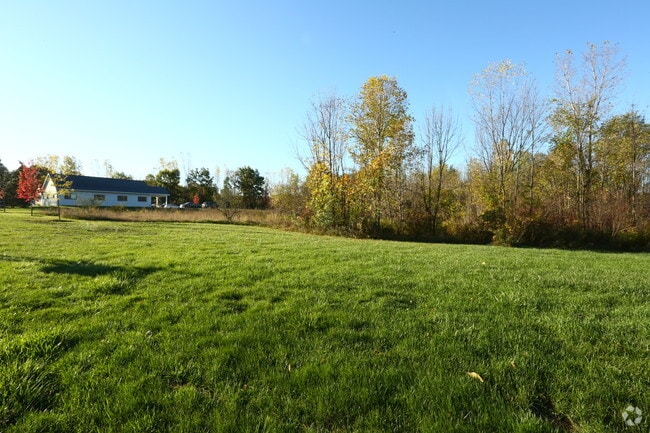

This Property Is For Sale
NEARBY LISTINGS FOR SALE OR LEASE
Property Detail
Taylor Dr
Flint, MI
PART OF LOT 14 DESC AS BEG AT NWLY COR OF SAID LOT 14 TH S 45 DEG 24 MIN 27 SEC E 148.53 FT TH S 45 DEG 05 MIN 32 SEC W
15-12-501-036
Genesee
Commercialacreage
Michigan
X
14
26049C0312D
2.75 AC
2024
Flint
2025
Detroit
011010
DEMOGRAPHICS near Taylor Dr
1 Mile
3 Mile
5 Mile
2024 Total Population
1,324
29,422
82,465
2029 Population
1,286
28,664
80,932
Pop Growth 2024-2029
(2.87%)
(2.58%)
(1.86%)
Average Age
44
40
40
2024 Total Households
603
12,734
34,501
HH Growth 2024-2029
(2.82%)
(2.69%)
(1.97%)
Median Household Inc
$59,339
$55,102
$49,731
Avg Household Size
2.20
2.20
2.30
2024 Avg HH Vehicles
2.00
2.00
2.00
Median Home Value
$170,865
$156,126
$140,280
Median Year Built
1974
1972
1966
Nearby Places
Map Layers
Map Styles
 Street
 Aerial
- Restaurants
- Banks
- Shops
- Fitness
- Groceries
PUBLIC TRANSPORTATION
COMMUTER RAIL
DRIVE
WALK
Distance
15 min
8.9 mi
AIRPORT
Bishop International
DRIVE
WALK
Distance
Bishop International
16 min
4.5 mi
Nearby Properties
Address
Land Use
TOTAL SIZE
Lot Size
Zoning
Address
Land Use
TOTAL SIZE
Lot Size
Zoning
331,630 SF
63.88 AC
MDM
Address
Land Use
TOTAL SIZE
Lot Size
Zoning
Address
Land Use
TOTAL SIZE
Lot Size
Zoning
51.26 AC
HDM
Address
Land Use
TOTAL SIZE
Lot Size
Zoning
295,620 SF
25.62 AC
MDM
Address
Land Use
TOTAL SIZE
Lot Size
Zoning
33.65 AC
MDM
Address
Land Use
TOTAL SIZE
Lot Size
Zoning
260,000 SF
15.55 AC
PC
Address
Land Use
TOTAL SIZE
Lot Size
Zoning
210,684 SF
27.06 AC
GC
Address
Land Use
TOTAL SIZE
Lot Size
Zoning
120,487 SF
5.81 AC
PRC
Address
Land Use
TOTAL SIZE
Lot Size
Zoning
223,683 SF
24.88 AC
MDM
Address
Land Use
TOTAL SIZE
Lot Size
Zoning
141,748 SF
8.80 AC
MDM
Address
Land Use
TOTAL SIZE
Lot Size
Zoning
315,700 SF
38.97 AC
RM-2
Address
Land Use
TOTAL SIZE
Lot Size
Zoning
65,746 SF
3.97 AC
C-4
Address
Land Use
TOTAL SIZE
Lot Size
Zoning
Address
Land Use
TOTAL SIZE
Lot Size
Zoning
45,204 SF
6.43 AC
M-M
Address
Land Use
TOTAL SIZE
Lot Size
Zoning
104,040 SF
17.02 AC
MDM
Address
Land Use
TOTAL SIZE
Lot Size
Zoning
75,536 SF
8.97 AC
PRC
Address
Land Use
TOTAL SIZE
Lot Size
Zoning
69,232 SF
2.75 AC
C-3A
Address
Land Use
TOTAL SIZE
Lot Size
Zoning
131,682 SF
11.51 AC
MDM
Address
Land Use
TOTAL SIZE
Lot Size
Zoning
100,000 SF
Address
Land Use
TOTAL SIZE
Lot Size
Zoning
15.19 AC
M-M
Address
Land Use
TOTAL SIZE
Lot Size
Zoning
58,648 SF
5.80 AC
OS
Address
Land Use
TOTAL SIZE
Lot Size
Zoning
100,750 SF
Address
Land Use
TOTAL SIZE
Lot Size
Zoning
9.88 AC
HDM
Address
Land Use
TOTAL SIZE
Lot Size
Zoning
118,750 SF
21.26 AC
C-3A
Address
Land Use
TOTAL SIZE
Lot Size
Zoning
38,289 SF
6.93 AC
C-3A
Address
Land Use
TOTAL SIZE
Lot Size
Zoning
64,150 SF
3.64 AC
PRC
Address
Land Use
TOTAL SIZE
Lot Size
Zoning
41,508 SF
5.27 AC
OS
Address
Land Use
TOTAL SIZE
Lot Size
Zoning
28,896 SF
7.47 AC
M-M
Address
Land Use
TOTAL SIZE
Lot Size
Zoning
3,355 SF
59.06 AC
M-3
Address
Land Use
TOTAL SIZE
Lot Size
Zoning
94,280 SF
48.79 AC
The World's #1 Commercial Real Estate Marketplace
Connect with us
© 2026 CoStar Group
The information above has been obtained from sources believed reliable. While we do not doubt its accuracy we have not verified it and make no guarantee, warranty or representation about it. It is your responsibility to independently confirm its accuracy and completeness. Any projections, opinions, assumptions, or estimates used are for example only and do not represent the current or future performance of the property. The value of this transaction to you depends on tax and other factors which should be evaluated by your tax, financial, and legal advisors. You and your advisors should conduct a careful, independent investigation of the property to determine to your satisfaction the suitability of the property for your needs.