Property Record
0 Water St, , PA


Save to a Folder
{{folder.Name}}
{{folder.ListingIds.length}} Properties
{{folder.ListingIds.length}} Property
Create a New Folder
Property Detail
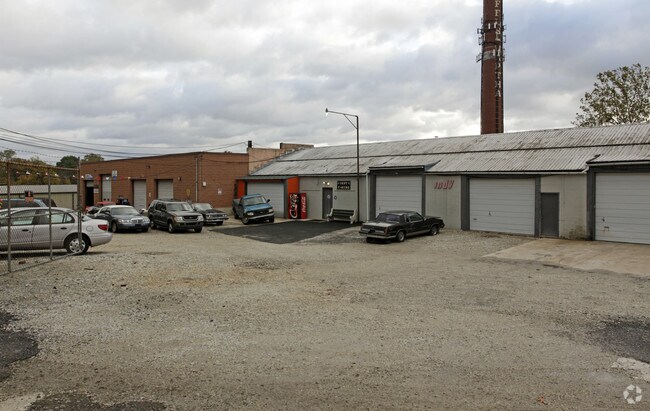
0 Water St
12-00-00893-10
MISC BLDGS 580 X 298 X IRR
Warehouse
DELAWARE
AE The base floodplain where base flood elevations are provided. AE Zones are now used on new format FIRMs instead of A1-A30 Zones.
Pennsylvania
2026
2 AC
2026
Delaware County
403103
Philadelphia
12,780 SF
Philadelphia-Camden-Wilmington, PA-NJ-DE-MD
NEARBY LISTINGS FOR SALE OR LEASE
DEMOGRAPHICS near 0 Water St
1 mile
3 mile
5 mile
2025 Total Population
39,610
219,566
679,100
2030 Population
39,487
219,682
678,933
Pop Growth 2025-2030
(0.31%)
+ 0.05%
(0.02%)
Average Age
38
38
38
2025 Total Households
14,658
83,718
276,397
HH Growth 2025-2030
(0.32%)
+ 0.02%
(0.15%)
Median Household Inc
$47,325
$52,932
$63,645
Avg Household Size
2.60
2.50
2.30
2025 Avg HH Vehicles
1.00
1.00
1.00
Median Home Value
$155,265
$171,814
$246,005
Median Year Built
1953
1948
1948
Nearby Places
Map Layers
Map Styles
 Street
 Aerial
Layers
 Traffic
 Biking
Places
Listings with unknown addresses are not visible on the map
- Restaurants
- Banks
- Shops
- Fitness
- Groceries
PUBLIC TRANSPORTATION
COMMUTER RAIL
Darby (R2 - Southeastern Pennsylvania Transportation Authority Regional Rail (SEPTA Regional Rail))
Drive
Walk
Distance
Darby (R2 - Southeastern Pennsylvania Transportation Authority Regional Rail (SEPTA Regional Rail))
2 min
9 min
0.5 mi
Curtis Park (R2 - Southeastern Pennsylvania Transportation Authority Regional Rail (SEPTA Regional Rail))
Drive
Walk
Distance
Curtis Park (R2 - Southeastern Pennsylvania Transportation Authority Regional Rail (SEPTA Regional Rail))
7 min
2.1 mi
AIRPORT
Philadelphia International
Drive
Walk
Distance
Philadelphia International
12 min
4.7 mi
Trenton Mercer
Drive
Walk
Distance
Trenton Mercer
65 min
40.4 mi
Freight Ports
Broadway Terminal - Pier 5
Drive
Walk
Distance
Broadway Terminal - Pier 5
21 min
10.3 mi
Nearby Properties
Address
Land Use
TOTAL SIZE
Lot Size
Zoning
Address
Land Use
TOTAL SIZE
Lot Size
Zoning
678,227 SF
850.40 AC
SPAIR
Address
Land Use
TOTAL SIZE
Lot Size
Zoning
685,000 SF
47.69 AC
CMX3
Address
Land Use
TOTAL SIZE
Lot Size
Zoning
387,472 SF
4.61 AC
I3
Address
Land Use
TOTAL SIZE
Lot Size
Zoning
910,000 SF
70 AC
I2
Address
Land Use
TOTAL SIZE
Lot Size
Zoning
10,080 SF
3.10 AC
I3
Address
Land Use
TOTAL SIZE
Lot Size
Zoning
89,456 SF
27.06 AC
Address
Land Use
TOTAL SIZE
Lot Size
Zoning
141.90 AC
I3
Address
Land Use
TOTAL SIZE
Lot Size
Zoning
323,248 SF
SPAIR
Address
Land Use
TOTAL SIZE
Lot Size
Zoning
128,464 SF
1.03 AC
RM1
Address
Land Use
TOTAL SIZE
Lot Size
Zoning
200,000 SF
22 AC
RMX3
Address
Land Use
TOTAL SIZE
Lot Size
Zoning
164,640 SF
0.62 AC
CMX4
Address
Land Use
TOTAL SIZE
Lot Size
Zoning
226,764 SF
5.72 AC
CMX3
Address
Land Use
TOTAL SIZE
Lot Size
Zoning
488,254 SF
31.56 AC
CMX3
Address
Land Use
TOTAL SIZE
Lot Size
Zoning
140,010 SF
28.50 AC
ICMX
Address
Land Use
TOTAL SIZE
Lot Size
Zoning
63.81 AC
I2
Address
Land Use
TOTAL SIZE
Lot Size
Zoning
63.53 AC
CMX3
Address
Land Use
TOTAL SIZE
Lot Size
Zoning
25,680 SF
31.64 AC
Address
Land Use
TOTAL SIZE
Lot Size
Zoning
120,349 SF
37.24 AC
I3
Address
Land Use
TOTAL SIZE
Lot Size
Zoning
33,200 SF
19.55 AC
I2
Address
Land Use
TOTAL SIZE
Lot Size
Zoning
454,536 SF
26.63 AC
Address
Land Use
TOTAL SIZE
Lot Size
Zoning
3,600 SF
6.61 AC
SPPOA
Address
Land Use
TOTAL SIZE
Lot Size
Zoning
164,184 SF
14.62 AC
I2
Address
Land Use
TOTAL SIZE
Lot Size
Zoning
216,000 SF
5.05 AC
RM1
Address
Land Use
TOTAL SIZE
Lot Size
Zoning
96,500 SF
6.11 AC
CMX3
Address
Land Use
TOTAL SIZE
Lot Size
Zoning
363,215 SF
7.27 AC
RM1
Address
Land Use
TOTAL SIZE
Lot Size
Zoning
16,990 SF
221.09 AC
SPPOA
Address
Land Use
TOTAL SIZE
Lot Size
Zoning
77,693 SF
11.41 AC
I2
Address
Land Use
TOTAL SIZE
Lot Size
Zoning
128,453 SF
1.21 AC
ICMX
Address
Land Use
TOTAL SIZE
Lot Size
Zoning
40,572 SF
6.52 AC
Address
Land Use
TOTAL SIZE
Lot Size
Zoning
192,000 SF
6.40 AC
CMX3
The World's #1 Commercial Real Estate Marketplace
Connect with us
© 2026 CoStar Group
The information above has been obtained from sources believed reliable. While we do not doubt its accuracy we have not verified it and make no guarantee, warranty or representation about it. It is your responsibility to independently confirm its accuracy and completeness. Any projections, opinions, assumptions, or estimates used are for example only and do not represent the current or future performance of the property. The value of this transaction to you depends on tax and other factors which should be evaluated by your tax, financial, and legal advisors. You and your advisors should conduct a careful, independent investigation of the property to determine to your satisfaction the suitability of the property for your needs.