Property Record
Sunbelt Dr, Waco, GA 30182
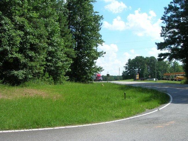

This Property Is For Sale
Current Lease Availabilities
NEARBY LISTINGS FOR SALE OR LEASE
-
-
-
No Photo
-
-
-
-
-
View all Waco listings for lease on LoopNet.com
Property Detail
Sunbelt Dr
Atlanta-Sandy Springs-Roswell, GA
Waco Acres
0081-0033
3.36 ACS
Residentialacreage
Haralson
X
Georgia
13143C0235B
3.36 AC
2024
Haralson County
2025
Atlanta
910302
DEMOGRAPHICS near Sunbelt Dr
1 Mile
3 Mile
5 Mile
2024 Total Population
549
4,989
16,929
2029 Population
613
5,582
19,038
Pop Growth 2024-2029
+ 11.66%
+ 11.89%
+ 12.46%
Average Age
38
38
38
2024 Total Households
204
1,845
6,161
HH Growth 2024-2029
+ 11.76%
+ 11.92%
+ 12.50%
Median Household Inc
$52,187
$58,110
$61,771
Avg Household Size
2.70
2.70
2.70
2024 Avg HH Vehicles
2.00
2.00
2.00
Median Home Value
$146,296
$172,649
$208,764
Median Year Built
1978
1984
1990
Nearby Places
Map Layers
Map Styles
 Street
 Aerial
- Restaurants
- Banks
- Shops
- Fitness
- Groceries
Nearby Properties
Address
Land Use
TOTAL SIZE
Lot Size
Zoning
Address
Land Use
TOTAL SIZE
Lot Size
Zoning
3,910 SF
19.13 AC
002
Address
Land Use
TOTAL SIZE
Lot Size
Zoning
57,551 SF
3.71 AC
001
Address
Land Use
TOTAL SIZE
Lot Size
Zoning
256,320 SF
38.83 AC
003
Address
Land Use
TOTAL SIZE
Lot Size
Zoning
157,011 SF
20.75 AC
002
Address
Land Use
TOTAL SIZE
Lot Size
Zoning
86,316 SF
12.85 AC
C2
Address
Land Use
TOTAL SIZE
Lot Size
Zoning
36,250 SF
72.32 AC
001
Address
Land Use
TOTAL SIZE
Lot Size
Zoning
22,780 SF
1.36 AC
C2
Address
Land Use
TOTAL SIZE
Lot Size
Zoning
9,315 SF
25.99 AC
A-1
Address
Land Use
TOTAL SIZE
Lot Size
Zoning
16,840 SF
2.04 AC
002
Address
Land Use
TOTAL SIZE
Lot Size
Zoning
29,574 SF
10.44 AC
A-1
Address
Land Use
TOTAL SIZE
Lot Size
Zoning
39,050 SF
6.75 AC
001
Address
Land Use
TOTAL SIZE
Lot Size
Zoning
42,720 SF
78.59 AC
I-1
Address
Land Use
TOTAL SIZE
Lot Size
Zoning
28,186 SF
8 AC
C
Address
Land Use
TOTAL SIZE
Lot Size
Zoning
11,900 SF
2.48 AC
C
Address
Land Use
TOTAL SIZE
Lot Size
Zoning
49,976 SF
3.75 AC
C
Address
Land Use
TOTAL SIZE
Lot Size
Zoning
29,600 SF
3.73 AC
C
Address
Land Use
TOTAL SIZE
Lot Size
Zoning
12,172 SF
1.03 AC
002
Address
Land Use
TOTAL SIZE
Lot Size
Zoning
22,552 SF
3.74 AC
002
Address
Land Use
TOTAL SIZE
Lot Size
Zoning
22,572 SF
2.62 AC
C
Address
Land Use
TOTAL SIZE
Lot Size
Zoning
8,130 SF
1.21 AC
C
Address
Land Use
TOTAL SIZE
Lot Size
Zoning
1,976 SF
11.48 AC
001
Address
Land Use
TOTAL SIZE
Lot Size
Zoning
9,804 SF
3.84 AC
C
Address
Land Use
TOTAL SIZE
Lot Size
Zoning
0.90 AC
001
Address
Land Use
TOTAL SIZE
Lot Size
Zoning
4,950 SF
1.76 AC
C2
Address
Land Use
TOTAL SIZE
Lot Size
Zoning
11,214 SF
2.02 AC
001
Address
Land Use
TOTAL SIZE
Lot Size
Zoning
50,000 SF
3.84 AC
003
Address
Land Use
TOTAL SIZE
Lot Size
Zoning
17.02 AC
002
Address
Land Use
TOTAL SIZE
Lot Size
Zoning
4,827 SF
1.60 AC
RESIDENTIA
Address
Land Use
TOTAL SIZE
Lot Size
Zoning
16,800 SF
1.17 AC
001
Address
Land Use
TOTAL SIZE
Lot Size
Zoning
22,570 SF
6.08 AC
001
The World's #1 Commercial Real Estate Marketplace
Connect with us
© 2026 CoStar Group
The information above has been obtained from sources believed reliable. While we do not doubt its accuracy we have not verified it and make no guarantee, warranty or representation about it. It is your responsibility to independently confirm its accuracy and completeness. Any projections, opinions, assumptions, or estimates used are for example only and do not represent the current or future performance of the property. The value of this transaction to you depends on tax and other factors which should be evaluated by your tax, financial, and legal advisors. You and your advisors should conduct a careful, independent investigation of the property to determine to your satisfaction the suitability of the property for your needs.