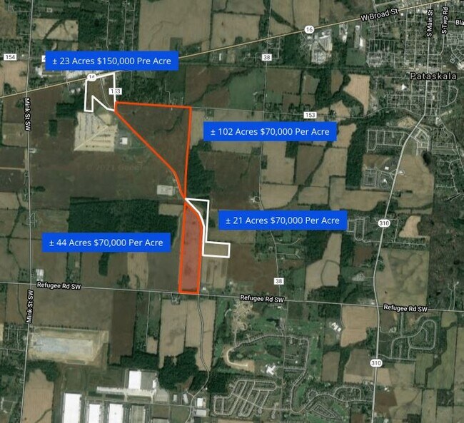
Property Record
6000 Etna Pkwy, Pataskala, OH 43062

Property Detail
6000 Etna Pkwy
Columbus, OH
LOT 5 PT IJAMS' E BROAD STREET PARCELS
063-144300-00.000
LICKING
Industrialacreage
Ohio
B and X Area of moderate flood hazard, usually the area between the limits of the 100-year and 500-year floods.
5
2025
2.70 AC
2025
Licking County
756500
Columbus
NEARBY LISTINGS FOR SALE OR LEASE
DEMOGRAPHICS near 6000 Etna Pkwy
1 mile
3 mile
5 mile
2025 Total Population
552
24,403
85,093
2030 Population
574
25,066
87,584
Pop Growth 2025-2030
+ 3.99%
+ 2.72%
+ 2.93%
Average Age
41
39
39
2025 Total Households
211
8,682
30,367
HH Growth 2025-2030
+ 3.79%
+ 2.73%
+ 2.99%
Median Household Inc
$79,167
$95,321
$95,759
Avg Household Size
2.50
2.70
2.70
2025 Avg HH Vehicles
2.00
2.00
2.00
Median Home Value
$298,570
$308,999
$308,413
Median Year Built
1977
1995
1998
Nearby Places
Map Layers
Map Styles
 Street
 Aerial
Layers
 Traffic
 Biking
Places
Listings with unknown addresses are not visible on the map
- Restaurants
- Banks
- Shops
- Fitness
- Groceries
PUBLIC TRANSPORTATION
AIRPORT
John Glenn Columbus International
Drive
Walk
Distance
John Glenn Columbus International
20 min
11.9 mi
Rickenbacker International
Drive
Walk
Distance
Rickenbacker International
31 min
21.0 mi
Freight Ports
Port of Toledo
Drive
Walk
Distance
Port of Toledo
195 min
156.3 mi
SALE & LEASE HISTORY
LISTING DATE
SALE/LEASE

Aug 19, 2019
For Sale
Nearby Properties
Address
Land Use
TOTAL SIZE
Lot Size
Zoning
Address
Land Use
TOTAL SIZE
Lot Size
Zoning
2,556 SF
89.32 AC
Address
Land Use
TOTAL SIZE
Lot Size
Zoning
1,430,005 SF
101.26 AC
Address
Land Use
TOTAL SIZE
Lot Size
Zoning
946,400 SF
80.92 AC
Address
Land Use
TOTAL SIZE
Lot Size
Zoning
16,016 SF
154.52 AC
Address
Land Use
TOTAL SIZE
Lot Size
Zoning
1,230,350 SF
78.26 AC
Address
Land Use
TOTAL SIZE
Lot Size
Zoning
1,091,997 SF
49.37 AC
Address
Land Use
TOTAL SIZE
Lot Size
Zoning
855,000 SF
96 AC
Address
Land Use
TOTAL SIZE
Lot Size
Zoning
437,569 SF
33 AC
Address
Land Use
TOTAL SIZE
Lot Size
Zoning
700,491 SF
92.80 AC
Address
Land Use
TOTAL SIZE
Lot Size
Zoning
699,016 SF
43.57 AC
Address
Land Use
TOTAL SIZE
Lot Size
Zoning
Address
Land Use
TOTAL SIZE
Lot Size
Zoning
978,491 SF
72.31 AC
Address
Land Use
TOTAL SIZE
Lot Size
Zoning
756,333 SF
44.37 AC
Address
Land Use
TOTAL SIZE
Lot Size
Zoning
524,490 SF
25.40 AC
Address
Land Use
TOTAL SIZE
Lot Size
Zoning
410,332 SF
21.81 AC
Address
Land Use
TOTAL SIZE
Lot Size
Zoning
524,494 SF
25.67 AC
Address
Land Use
TOTAL SIZE
Lot Size
Zoning
512,267 SF
22.36 AC
Address
Land Use
TOTAL SIZE
Lot Size
Zoning
134,309 SF
83.45 AC
Address
Land Use
TOTAL SIZE
Lot Size
Zoning
303,408 SF
29.74 AC
Address
Land Use
TOTAL SIZE
Lot Size
Zoning
47.69 AC
Address
Land Use
TOTAL SIZE
Lot Size
Zoning
89.41 AC
Address
Land Use
TOTAL SIZE
Lot Size
Zoning
83,892 SF
15.04 AC
Address
Land Use
TOTAL SIZE
Lot Size
Zoning
105,628 SF
17.72 AC
Address
Land Use
TOTAL SIZE
Lot Size
Zoning
7,552 SF
15.41 AC
Address
Land Use
TOTAL SIZE
Lot Size
Zoning
143,397 SF
16.78 AC
Address
Land Use
TOTAL SIZE
Lot Size
Zoning
9,408 SF
12.53 AC
Address
Land Use
TOTAL SIZE
Lot Size
Zoning
78,136 SF
7.46 AC
Address
Land Use
TOTAL SIZE
Lot Size
Zoning
53,202 SF
38.44 AC
Address
Land Use
TOTAL SIZE
Lot Size
Zoning
14,592 SF
15.33 AC
Address
Land Use
TOTAL SIZE
Lot Size
Zoning
70,283 SF
11.36 AC
The World's #1 Commercial Real Estate Marketplace
Connect with us
© 2026 CoStar Group
The information above has been obtained from sources believed reliable. While we do not doubt its accuracy we have not verified it and make no guarantee, warranty or representation about it. It is your responsibility to independently confirm its accuracy and completeness. Any projections, opinions, assumptions, or estimates used are for example only and do not represent the current or future performance of the property. The value of this transaction to you depends on tax and other factors which should be evaluated by your tax, financial, and legal advisors. You and your advisors should conduct a careful, independent investigation of the property to determine to your satisfaction the suitability of the property for your needs.