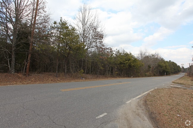
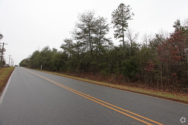
Property Record
W Academy St, Cherryville, NC 28021

NEARBY LISTINGS FOR SALE OR LEASE
Property Detail
W Academy St
130312
06 009 001 00 000
Industrialacreage
Gaston
X
North Carolina
3710258900K
30.51 AC
2025
Gaston County
2025
Charlotte
030602
Charlotte-Concord-Gastonia, NC-SC
DEMOGRAPHICS near W Academy St
1 mile
3 mile
5 mile
2024 Total Population
1,343
9,822
17,782
2029 Population
1,442
10,436
18,879
Pop Growth 2024-2029
+ 7.37%
+ 6.25%
+ 6.17%
Average Age
42
42
42
2024 Total Households
558
3,950
7,020
HH Growth 2024-2029
+ 7.53%
+ 6.46%
+ 6.34%
Median Household Inc
$55,263
$49,861
$51,222
Avg Household Size
2.40
2.40
2.40
2024 Avg HH Vehicles
2.00
2.00
2.00
Median Home Value
$211,667
$168,336
$173,512
Median Year Built
1966
1973
1979
Nearby Places
Map Layers
Map Styles
 Street
 Aerial
Transit
 Traffic
 Biking
Places
Listings with unknown addresses are not visible on the map
- Restaurants
- Banks
- Shops
- Fitness
- Groceries
PUBLIC TRANSPORTATION
AIRPORT
Charlotte/Douglas International
Drive
Walk
Distance
Charlotte/Douglas International
57 min
34.8 mi
Freight Ports
North Charleston Terminal
Drive
Walk
Distance
North Charleston Terminal
267 min
221.8 mi
SALE & LEASE HISTORY
LISTING DATE
SALE/LEASE

Jul 19, 2017
For Sale
Nearby Properties
Address
Land Use
TOTAL SIZE
Lot Size
Zoning
Address
Land Use
TOTAL SIZE
Lot Size
Zoning
1,320 SF
72.60 AC
Address
Land Use
TOTAL SIZE
Lot Size
Zoning
92,928 SF
21.25 AC
PUB01
Address
Land Use
TOTAL SIZE
Lot Size
Zoning
38,904 SF
5.84 AC
HCAR4
Address
Land Use
TOTAL SIZE
Lot Size
Zoning
24,070 SF
17.54 AC
R15
Address
Land Use
TOTAL SIZE
Lot Size
Zoning
3,917 SF
3.43 AC
R2
Address
Land Use
TOTAL SIZE
Lot Size
Zoning
75,190 SF
10.69 AC
PUB01
Address
Land Use
TOTAL SIZE
Lot Size
Zoning
1,574 SF
16.90 AC
Address
Land Use
TOTAL SIZE
Lot Size
Zoning
62,238 SF
17 AC
PUB01
Address
Land Use
TOTAL SIZE
Lot Size
Zoning
6,480 SF
12.98 AC
PUB01
Address
Land Use
TOTAL SIZE
Lot Size
Zoning
41,067 SF
2.42 AC
CHUR2
Address
Land Use
TOTAL SIZE
Lot Size
Zoning
35,044 SF
5.88 AC
CHUR2
Address
Land Use
TOTAL SIZE
Lot Size
Zoning
106,624 SF
8.38 AC
INDS1
Address
Land Use
TOTAL SIZE
Lot Size
Zoning
22,808 SF
2.67 AC
HCAR4
Address
Land Use
TOTAL SIZE
Lot Size
Zoning
45,862 SF
4.99 AC
SHOP1
Address
Land Use
TOTAL SIZE
Lot Size
Zoning
650 SF
4.33 AC
INDS1
Address
Land Use
TOTAL SIZE
Lot Size
Zoning
7,702 SF
1.55 AC
OFF01
Address
Land Use
TOTAL SIZE
Lot Size
Zoning
768 SF
11.52 AC
APT01
Address
Land Use
TOTAL SIZE
Lot Size
Zoning
512 SF
912.91 AC
R15
Address
Land Use
TOTAL SIZE
Lot Size
Zoning
26,004 SF
12.35 AC
CHUR2
Address
Land Use
TOTAL SIZE
Lot Size
Zoning
29,296 SF
10.26 AC
AA3
Address
Land Use
TOTAL SIZE
Lot Size
Zoning
119,424 SF
11.57 AC
INDS2
Address
Land Use
TOTAL SIZE
Lot Size
Zoning
13,480 SF
4.88 AC
AA3
Address
Land Use
TOTAL SIZE
Lot Size
Zoning
13,881 SF
2.48 AC
GOV06
Address
Land Use
TOTAL SIZE
Lot Size
Zoning
1,430 SF
2.57 AC
APT01
Address
Land Use
TOTAL SIZE
Lot Size
Zoning
20,046 SF
17.69 AC
CHUR2
Address
Land Use
TOTAL SIZE
Lot Size
Zoning
3,712 SF
2.33 AC
APT01
Address
Land Use
TOTAL SIZE
Lot Size
Zoning
6,204 SF
67.09 AC
AA4
Address
Land Use
TOTAL SIZE
Lot Size
Zoning
3,811 SF
0.88 AC
REST1
Address
Land Use
TOTAL SIZE
Lot Size
Zoning
3,984 SF
111.08 AC
Address
Land Use
TOTAL SIZE
Lot Size
Zoning
1,763 SF
1.45 AC
CHUR2
The World's #1 Commercial Real Estate Marketplace
Connect with us
© 2026 CoStar Group
The information above has been obtained from sources believed reliable. While we do not doubt its accuracy we have not verified it and make no guarantee, warranty or representation about it. It is your responsibility to independently confirm its accuracy and completeness. Any projections, opinions, assumptions, or estimates used are for example only and do not represent the current or future performance of the property. The value of this transaction to you depends on tax and other factors which should be evaluated by your tax, financial, and legal advisors. You and your advisors should conduct a careful, independent investigation of the property to determine to your satisfaction the suitability of the property for your needs.