Property Record
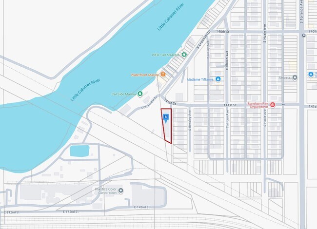
1 138Th & Bishop Ford Expy, Chicago, IL
Property Detail
1 138Th & Bishop Ford Expy
29-01-200-008-0000
COOK
Miscellaneous
Illinois
A Areas with a 1% annual chance of flooding and a 26% chance of flooding over the life of a 30-year mortgage.
2.85 AC
2023
Near South Cook
2025
Chicago
825801
Chicago-Naperville-Elgin, IL-IN
7,806 SF
NEARBY LISTINGS FOR SALE OR LEASE
DEMOGRAPHICS near 1 138Th & Bishop Ford Expy
1 mile
3 mile
5 mile
2025 Total Population
10,327
91,017
261,410
2030 Population
10,404
92,155
263,667
Pop Growth 2025-2030
+ 0.75%
+ 1.25%
+ 0.86%
Average Age
40
39
40
2025 Total Households
4,055
33,855
96,671
HH Growth 2025-2030
+ 0.67%
+ 0.98%
+ 0.68%
Median Household Inc
$52,880
$53,151
$53,909
Avg Household Size
2.40
2.60
2.60
2025 Avg HH Vehicles
1.00
1.00
2.00
Median Home Value
$140,930
$151,493
$155,566
Median Year Built
1972
1962
1955
Nearby Places
Map Layers
Map Styles
 Street
 Aerial
Layers
 Traffic
 Biking
Places
Listings with unknown addresses are not visible on the map
- Restaurants
- Banks
- Shops
- Fitness
- Groceries
PUBLIC TRANSPORTATION
COMMUTER RAIL
Hegewisch Station (South Shore Line - Northern Indiana Commuter Transportation District (South Shore Line))
Drive
Walk
Distance
Hegewisch Station (South Shore Line - Northern Indiana Commuter Transportation District (South Shore Line))
6 min
2.6 mi
Riverdale Station (Metra Electric Line - Northeast Illinois Regional Commuter Railroad (Metra))
Drive
Walk
Distance
Riverdale Station (Metra Electric Line - Northeast Illinois Regional Commuter Railroad (Metra))
12 min
5.7 mi
AIRPORT
Chicago Midway International
Drive
Walk
Distance
Chicago Midway International
34 min
20.3 mi
Chicago O'Hare International
Drive
Walk
Distance
Chicago O'Hare International
56 min
37.4 mi
Freight Ports
Port Milwaukee
Drive
Walk
Distance
Port Milwaukee
134 min
105.6 mi
Nearby Properties
Address
Land Use
TOTAL SIZE
Lot Size
Zoning
Address
Land Use
TOTAL SIZE
Lot Size
Zoning
399,000 SF
23.92 AC
Address
Land Use
TOTAL SIZE
Lot Size
Zoning
119,200 SF
9.87 AC
Address
Land Use
TOTAL SIZE
Lot Size
Zoning
82,736 SF
0.37 AC
Address
Land Use
TOTAL SIZE
Lot Size
Zoning
144,256 SF
2.91 AC
R3
Address
Land Use
TOTAL SIZE
Lot Size
Zoning
24.56 AC
Address
Land Use
TOTAL SIZE
Lot Size
Zoning
Address
Land Use
TOTAL SIZE
Lot Size
Zoning
115,612 SF
4.20 AC
Address
Land Use
TOTAL SIZE
Lot Size
Zoning
130,002 SF
18.27 AC
Address
Land Use
TOTAL SIZE
Lot Size
Zoning
68,885 SF
5.93 AC
Address
Land Use
TOTAL SIZE
Lot Size
Zoning
8,400 SF
65.94 AC
PMD 6
Address
Land Use
TOTAL SIZE
Lot Size
Zoning
29.25 AC
PMD 6
Address
Land Use
TOTAL SIZE
Lot Size
Zoning
600,448 SF
36.42 AC
Address
Land Use
TOTAL SIZE
Lot Size
Zoning
755,859 SF
8.77 AC
Address
Land Use
TOTAL SIZE
Lot Size
Zoning
106,812 SF
8.78 AC
Address
Land Use
TOTAL SIZE
Lot Size
Zoning
83,922 SF
1.35 AC
Address
Land Use
TOTAL SIZE
Lot Size
Zoning
344,488 SF
30.19 AC
Address
Land Use
TOTAL SIZE
Lot Size
Zoning
92,633 SF
8 AC
Address
Land Use
TOTAL SIZE
Lot Size
Zoning
62,256 SF
4.95 AC
R3
Address
Land Use
TOTAL SIZE
Lot Size
Zoning
99,855 SF
5.66 AC
Address
Land Use
TOTAL SIZE
Lot Size
Zoning
17,692 SF
32.17 AC
Address
Land Use
TOTAL SIZE
Lot Size
Zoning
547,200 SF
29.76 AC
PD 804
Address
Land Use
TOTAL SIZE
Lot Size
Zoning
14,418 SF
2.25 AC
R3
Address
Land Use
TOTAL SIZE
Lot Size
Zoning
361,023 SF
Address
Land Use
TOTAL SIZE
Lot Size
Zoning
204,473 SF
7.97 AC
Address
Land Use
TOTAL SIZE
Lot Size
Zoning
116,000 SF
1.08 AC
Address
Land Use
TOTAL SIZE
Lot Size
Zoning
65,830 SF
6.30 AC
R3
Address
Land Use
TOTAL SIZE
Lot Size
Zoning
460,800 SF
20.63 AC
PD 804
Address
Land Use
TOTAL SIZE
Lot Size
Zoning
49,952 SF
4.31 AC
Address
Land Use
TOTAL SIZE
Lot Size
Zoning
387,750 SF
20.33 AC
PD 804
Address
Land Use
TOTAL SIZE
Lot Size
Zoning
15,166 SF
1.53 AC
The World's #1 Commercial Real Estate Marketplace
Connect with us
© 2026 CoStar Group
The information above has been obtained from sources believed reliable. While we do not doubt its accuracy we have not verified it and make no guarantee, warranty or representation about it. It is your responsibility to independently confirm its accuracy and completeness. Any projections, opinions, assumptions, or estimates used are for example only and do not represent the current or future performance of the property. The value of this transaction to you depends on tax and other factors which should be evaluated by your tax, financial, and legal advisors. You and your advisors should conduct a careful, independent investigation of the property to determine to your satisfaction the suitability of the property for your needs.