Property Record
1 Techview Dr, Cincinnati, OH 45215


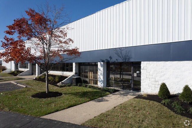

Property Detail
1 Techview Dr
Cincinnati, OH-KY-IN
SE COR MANGRAM & MAGNOLIA6.5891 ACS S34 T4 R1PARS 168 & 169 CONS
594-0031-0168
HAMILTON
Warehouse
Ohio
B and X Area of moderate flood hazard, usually the area between the limits of the 100-year and 500-year floods.
6.59 AC
2025
Woodlawn/Evendale
2025
Cincinnati/Dayton
022700
NEARBY LISTINGS FOR SALE OR LEASE
DEMOGRAPHICS near 1 Techview Dr
1 mile
3 mile
5 mile
2025 Total Population
4,830
58,161
185,682
2030 Population
4,913
58,772
187,169
Pop Growth 2025-2030
+ 1.72%
+ 1.05%
+ 0.80%
Average Age
38
41
41
2025 Total Households
1,920
24,435
78,568
HH Growth 2025-2030
+ 1.72%
+ 1.13%
+ 0.83%
Median Household Inc
$34,518
$73,687
$70,436
Avg Household Size
2.50
2.30
2.30
2025 Avg HH Vehicles
1.00
2.00
2.00
Median Home Value
$91,921
$253,042
$236,197
Median Year Built
1961
1960
1960
Nearby Places
Map Layers
Map Styles
 Street
 Aerial
Transit
 Traffic
 Biking
Places
Listings with unknown addresses are not visible on the map
- Restaurants
- Banks
- Shops
- Fitness
- Groceries
PUBLIC TRANSPORTATION
AIRPORT
Cincinnati/Northern Kentucky International
Drive
Walk
Distance
Cincinnati/Northern Kentucky International
30 min
25.0 mi
Freight Ports
Virginia Port Authority - Richmond
Drive
Walk
Distance
Virginia Port Authority - Richmond
1 min
400.2 mi
SALE & LEASE HISTORY
LISTING DATE
SALE/LEASE

Sep 25, 2016
For Lease
Nov 28, 2018
For Lease
Jul 03, 2017
For Lease
Jul 02, 2025
For Lease
Jan 09, 2024
For Lease
Feb 26, 2020
For Lease
Nearby Properties
Address
Land Use
TOTAL SIZE
Lot Size
Zoning
Address
Land Use
TOTAL SIZE
Lot Size
Zoning
47.52 AC
Address
Land Use
TOTAL SIZE
Lot Size
Zoning
119.08 AC
R1
Address
Land Use
TOTAL SIZE
Lot Size
Zoning
1,238 SF
14.03 AC
Address
Land Use
TOTAL SIZE
Lot Size
Zoning
15.33 AC
Address
Land Use
TOTAL SIZE
Lot Size
Zoning
10.85 AC
Address
Land Use
TOTAL SIZE
Lot Size
Zoning
Address
Land Use
TOTAL SIZE
Lot Size
Zoning
68.49 AC
Address
Land Use
TOTAL SIZE
Lot Size
Zoning
23.45 AC
Address
Land Use
TOTAL SIZE
Lot Size
Zoning
15.61 AC
Address
Land Use
TOTAL SIZE
Lot Size
Zoning
4,599 SF
29.03 AC
R4
Address
Land Use
TOTAL SIZE
Lot Size
Zoning
8,964 SF
11.61 AC
Address
Land Use
TOTAL SIZE
Lot Size
Zoning
25,098 SF
21.31 AC
Address
Land Use
TOTAL SIZE
Lot Size
Zoning
42.41 AC
Address
Land Use
TOTAL SIZE
Lot Size
Zoning
344,923 SF
18.47 AC
RM20
Address
Land Use
TOTAL SIZE
Lot Size
Zoning
5,085 SF
15.17 AC
Address
Land Use
TOTAL SIZE
Lot Size
Zoning
Address
Land Use
TOTAL SIZE
Lot Size
Zoning
Address
Land Use
TOTAL SIZE
Lot Size
Zoning
2.22 AC
Address
Land Use
TOTAL SIZE
Lot Size
Zoning
6,652 SF
15.45 AC
R1
Address
Land Use
TOTAL SIZE
Lot Size
Zoning
2,940 SF
22.12 AC
Address
Land Use
TOTAL SIZE
Lot Size
Zoning
16.45 AC
Address
Land Use
TOTAL SIZE
Lot Size
Zoning
260,160 SF
22.68 AC
Address
Land Use
TOTAL SIZE
Lot Size
Zoning
13,248 SF
24.99 AC
B
Address
Land Use
TOTAL SIZE
Lot Size
Zoning
Address
Land Use
TOTAL SIZE
Lot Size
Zoning
183.06 AC
Address
Land Use
TOTAL SIZE
Lot Size
Zoning
95,700 SF
18.40 AC
Address
Land Use
TOTAL SIZE
Lot Size
Zoning
Address
Land Use
TOTAL SIZE
Lot Size
Zoning
14.35 AC
Address
Land Use
TOTAL SIZE
Lot Size
Zoning
8,720 SF
33.28 AC
R3
Address
Land Use
TOTAL SIZE
Lot Size
Zoning
23.41 AC
The World's #1 Commercial Real Estate Marketplace
Connect with us
© 2026 CoStar Group
The information above has been obtained from sources believed reliable. While we do not doubt its accuracy we have not verified it and make no guarantee, warranty or representation about it. It is your responsibility to independently confirm its accuracy and completeness. Any projections, opinions, assumptions, or estimates used are for example only and do not represent the current or future performance of the property. The value of this transaction to you depends on tax and other factors which should be evaluated by your tax, financial, and legal advisors. You and your advisors should conduct a careful, independent investigation of the property to determine to your satisfaction the suitability of the property for your needs.