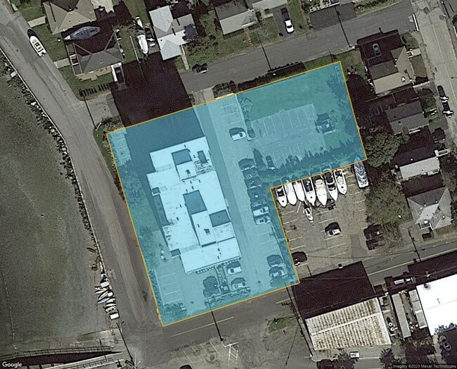
Property Record
1 A St, Hull, MA 02045

Property Detail
1 A St
Apartment
Plymouth
BUS
Massachusetts
AE The base floodplain where base flood elevations are provided. AE Zones are now used on new format FIRMs instead of A1-A30 Zones.
1.12 AC
2025
South Shore-Plymouth
2025
Boston
500101
Boston-Cambridge-Newton, MA-NH
50,775 SF
HULL-000018-000000-000069-A000000
NEARBY LISTINGS FOR SALE OR LEASE
-
-
View all Hull listings for sale on LoopNet.com
DEMOGRAPHICS near 1 A St
1 mile
3 mile
5 mile
2025 Total Population
5,555
14,900
44,075
2030 Population
5,809
15,490
45,523
Pop Growth 2025-2030
+ 4.57%
+ 3.96%
+ 3.29%
Average Age
48
48
45
2025 Total Households
2,444
6,541
18,151
HH Growth 2025-2030
+ 4.46%
+ 3.97%
+ 3.39%
Median Household Inc
$107,217
$138,448
$134,487
Avg Household Size
2.20
2.20
2.40
2025 Avg HH Vehicles
2.00
2.00
2.00
Median Home Value
$701,923
$791,887
$817,473
Median Year Built
1948
1951
1956
Nearby Places
Map Layers
Map Styles
 Street
 Aerial
Transit
 Traffic
 Biking
Places
Listings with unknown addresses are not visible on the map
- Restaurants
- Banks
- Shops
- Fitness
- Groceries
PUBLIC TRANSPORTATION
COMMUTER RAIL
Nantasket Junction (Greenbush Line - Massachusetts Bay Transportation Authority Commuter Rail (Purple Line))
Drive
Walk
Distance
Nantasket Junction (Greenbush Line - Massachusetts Bay Transportation Authority Commuter Rail (Purple Line))
9 min
4.4 mi
Cohasset (Greenbush Line - Massachusetts Bay Transportation Authority Commuter Rail (Purple Line))
Drive
Walk
Distance
Cohasset (Greenbush Line - Massachusetts Bay Transportation Authority Commuter Rail (Purple Line))
12 min
6.1 mi
AIRPORT
General Edward Lawrence Logan International
Drive
Walk
Distance
General Edward Lawrence Logan International
42 min
22.5 mi
Nearby Properties
Address
Land Use
TOTAL SIZE
Lot Size
Zoning
Address
Land Use
TOTAL SIZE
Lot Size
Zoning
193,216 SF
11.98 AC
MFA
Address
Land Use
TOTAL SIZE
Lot Size
Zoning
106,581 SF
8.40 AC
POS
Address
Land Use
TOTAL SIZE
Lot Size
Zoning
149,190 SF
10.04 AC
POS
Address
Land Use
TOTAL SIZE
Lot Size
Zoning
79,203 SF
1.24 AC
BUS
Address
Land Use
TOTAL SIZE
Lot Size
Zoning
61,014 SF
1.25 AC
POS
Address
Land Use
TOTAL SIZE
Lot Size
Zoning
62,663 SF
39.75 AC
Address
Land Use
TOTAL SIZE
Lot Size
Zoning
12.64 AC
POS
Address
Land Use
TOTAL SIZE
Lot Size
Zoning
8,214 SF
1.96 AC
Address
Land Use
TOTAL SIZE
Lot Size
Zoning
944 SF
6.05 AC
POS
Address
Land Use
TOTAL SIZE
Lot Size
Zoning
18.42 AC
POS
Address
Land Use
TOTAL SIZE
Lot Size
Zoning
11,301 SF
6.17 AC
POS
Address
Land Use
TOTAL SIZE
Lot Size
Zoning
12,950 SF
0.55 AC
CRB
Address
Land Use
TOTAL SIZE
Lot Size
Zoning
132 SF
255.50 AC
Address
Land Use
TOTAL SIZE
Lot Size
Zoning
25,804 SF
2.07 AC
MFA
Address
Land Use
TOTAL SIZE
Lot Size
Zoning
68,993 SF
11.69 AC
Address
Land Use
TOTAL SIZE
Lot Size
Zoning
7,452 SF
4.25 AC
SFB
Address
Land Use
TOTAL SIZE
Lot Size
Zoning
20.31 AC
Address
Land Use
TOTAL SIZE
Lot Size
Zoning
41,199 SF
4.52 AC
Address
Land Use
TOTAL SIZE
Lot Size
Zoning
30,946 SF
0.80 AC
BUS
Address
Land Use
TOTAL SIZE
Lot Size
Zoning
2,000 SF
3.43 AC
CRC
Address
Land Use
TOTAL SIZE
Lot Size
Zoning
7,500 SF
3.09 AC
WAT
Address
Land Use
TOTAL SIZE
Lot Size
Zoning
8,566 SF
0.48 AC
Address
Land Use
TOTAL SIZE
Lot Size
Zoning
5.04 AC
CRA
Address
Land Use
TOTAL SIZE
Lot Size
Zoning
2.85 AC
CON
Address
Land Use
TOTAL SIZE
Lot Size
Zoning
28 AC
E
Address
Land Use
TOTAL SIZE
Lot Size
Zoning
3.15 AC
POS
Address
Land Use
TOTAL SIZE
Lot Size
Zoning
4.42 AC
CRA
Address
Land Use
TOTAL SIZE
Lot Size
Zoning
4,026 SF
1.12 AC
RB
Address
Land Use
TOTAL SIZE
Lot Size
Zoning
10,518 SF
0.64 AC
SFA
The World's #1 Commercial Real Estate Marketplace
Connect with us
© 2026 CoStar Group
The information above has been obtained from sources believed reliable. While we do not doubt its accuracy we have not verified it and make no guarantee, warranty or representation about it. It is your responsibility to independently confirm its accuracy and completeness. Any projections, opinions, assumptions, or estimates used are for example only and do not represent the current or future performance of the property. The value of this transaction to you depends on tax and other factors which should be evaluated by your tax, financial, and legal advisors. You and your advisors should conduct a careful, independent investigation of the property to determine to your satisfaction the suitability of the property for your needs.