Property Record
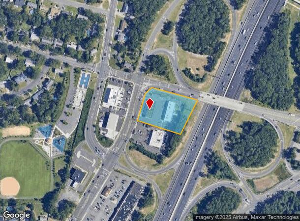
1 Lanes Mill Plz, Brick, NJ 08724

NEARBY LISTINGS FOR SALE OR LEASE
Property Detail
1 Lanes Mill Plz
07-01446-03-00004
1.28 AC.
Commercialnec
Ocean
X
New Jersey
34025C0435F
4
2024
1.28 AC
2025
Ocean County
713401
Northern New Jersey
936 SF
New York-Jersey City-White Plains, NY-NJ
DEMOGRAPHICS near 1 Lanes Mill Plz
1 Mile
3 Mile
5 Mile
2024 Total Population
12,228
65,646
209,744
2029 Population
12,743
68,236
217,582
Pop Growth 2024-2029
+ 4.21%
+ 3.95%
+ 3.74%
Average Age
42
37
35
2024 Total Households
4,776
21,874
64,946
HH Growth 2024-2029
+ 3.83%
+ 3.52%
+ 3.27%
Median Household Inc
$67,555
$77,831
$80,388
Avg Household Size
2.50
2.80
3.00
2024 Avg HH Vehicles
2.00
2.00
2.00
Median Home Value
$290,525
$346,590
$375,174
Median Year Built
1977
1979
1978
Nearby Places
Map Layers
Map Styles
 Street
 Aerial
- Restaurants
- Banks
- Shops
- Fitness
- Groceries
PUBLIC TRANSPORTATION
COMMUTER RAIL
Manasquan (North Jersey Coast Line - NJ Transit Commuter Rail (NJ Transit))
DRIVE
WALK
Distance
Manasquan (North Jersey Coast Line - NJ Transit Commuter Rail (NJ Transit))
10 min
7.1 mi
Point Pleasant Beach (North Jersey Coast Line - NJ Transit Commuter Rail (NJ Transit))
DRIVE
WALK
Distance
Point Pleasant Beach (North Jersey Coast Line - NJ Transit Commuter Rail (NJ Transit))
11 min
7.5 mi
Freight Ports
New York Container Terminal
DRIVE
WALK
Distance
New York Container Terminal
62 min
49.2 mi
SALE & LEASE HISTORY
LISTING DATE
SALE/LEASE

Oct 18, 2021
For Lease
Nearby Properties
Address
Land Use
TOTAL SIZE
Lot Size
Zoning
Address
Land Use
TOTAL SIZE
Lot Size
Zoning
45.53 AC
B3
Address
Land Use
TOTAL SIZE
Lot Size
Zoning
22.88 AC
HS
Address
Land Use
TOTAL SIZE
Lot Size
Zoning
338.52 AC
OSP
Address
Land Use
TOTAL SIZE
Lot Size
Zoning
105.04 AC
SED
Address
Land Use
TOTAL SIZE
Lot Size
Zoning
2,382 SF
341 AC
OSP
Address
Land Use
TOTAL SIZE
Lot Size
Zoning
56.58 AC
DA-1
Address
Land Use
TOTAL SIZE
Lot Size
Zoning
29.34 AC
B4
Address
Land Use
TOTAL SIZE
Lot Size
Zoning
272,500 SF
17.88 AC
M1
Address
Land Use
TOTAL SIZE
Lot Size
Zoning
25.22 AC
B3
Address
Land Use
TOTAL SIZE
Lot Size
Zoning
36.25 AC
R12
Address
Land Use
TOTAL SIZE
Lot Size
Zoning
49.57 AC
RR1
Address
Land Use
TOTAL SIZE
Lot Size
Zoning
22.34 AC
ABC
Address
Land Use
TOTAL SIZE
Lot Size
Zoning
50,125 SF
19.18 AC
M1
Address
Land Use
TOTAL SIZE
Lot Size
Zoning
26.37 AC
R75
Address
Land Use
TOTAL SIZE
Lot Size
Zoning
5,826 SF
15.35 AC
RM
Address
Land Use
TOTAL SIZE
Lot Size
Zoning
30 AC
RR1
Address
Land Use
TOTAL SIZE
Lot Size
Zoning
39.84 AC
OPT
Address
Land Use
TOTAL SIZE
Lot Size
Zoning
39,777 SF
3.50 AC
M1
Address
Land Use
TOTAL SIZE
Lot Size
Zoning
26.43 AC
B3
Address
Land Use
TOTAL SIZE
Lot Size
Zoning
162,000 SF
34.35 AC
ARE2
Address
Land Use
TOTAL SIZE
Lot Size
Zoning
17.08 AC
R15
Address
Land Use
TOTAL SIZE
Lot Size
Zoning
38,920 SF
9.70 AC
M1
Address
Land Use
TOTAL SIZE
Lot Size
Zoning
152.17 AC
ABC
Address
Land Use
TOTAL SIZE
Lot Size
Zoning
2,736 SF
18.04 AC
R15
Address
Land Use
TOTAL SIZE
Lot Size
Zoning
11.83 AC
B3
Address
Land Use
TOTAL SIZE
Lot Size
Zoning
9,429 SF
9.12 AC
B3
Address
Land Use
TOTAL SIZE
Lot Size
Zoning
14.38 AC
B3
Address
Land Use
TOTAL SIZE
Lot Size
Zoning
75,308 SF
3 AC
M1
Address
Land Use
TOTAL SIZE
Lot Size
Zoning
2.89 AC
R12
Address
Land Use
TOTAL SIZE
Lot Size
Zoning
13.82 AC
RM
The World's #1 Commercial Real Estate Marketplace
Connect with us
© 2025 CoStar Group
The information above has been obtained from sources believed reliable. While we do not doubt its accuracy we have not verified it and make no guarantee, warranty or representation about it. It is your responsibility to independently confirm its accuracy and completeness. Any projections, opinions, assumptions, or estimates used are for example only and do not represent the current or future performance of the property. The value of this transaction to you depends on tax and other factors which should be evaluated by your tax, financial, and legal advisors. You and your advisors should conduct a careful, independent investigation of the property to determine to your satisfaction the suitability of the property for your needs.