Property Record
1 Longest Dr, Chico, CA 95928
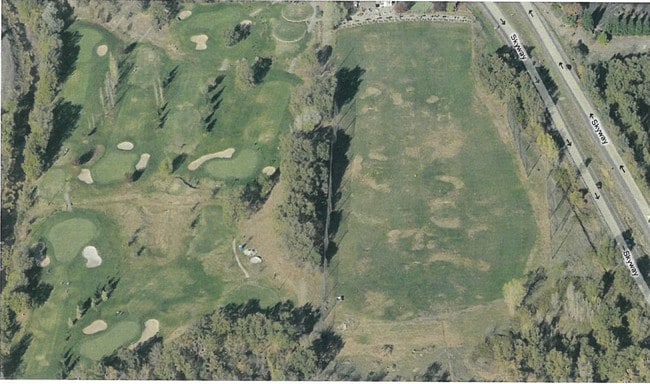

Property Detail
1 Longest Dr
040-020-172-000
1 LONGEST DR
Commercialnec
Butte
AO River or stream flood hazard areas, and areas with a 1% or greater chance of shallow flooding each year. These areas have a 26% chance of flooding over the life of a 30-year mortgage.
California
2024
30.88 AC
2025
Redding/Chico
000901
Other Market Areas
1,376 SF
Chico, CA
NEARBY LISTINGS FOR SALE OR LEASE
DEMOGRAPHICS near 1 Longest Dr
1 mile
3 mile
5 mile
2025 Total Population
118
20,009
68,011
2030 Population
117
19,724
66,778
Pop Growth 2025-2030
(0.85%)
(1.42%)
(1.81%)
Average Age
39
39
37
2025 Total Households
47
8,330
27,678
HH Growth 2025-2030
0.00%
(1.51%)
(2.00%)
Median Household Inc
$105,357
$71,108
$64,286
Avg Household Size
2.50
2.30
2.30
2025 Avg HH Vehicles
2.00
2.00
2.00
Median Home Value
$562,500
$473,877
$476,897
Median Year Built
1996
1987
1980
Nearby Places
Map Layers
Map Styles
 Street
 Aerial
Transit
 Traffic
 Biking
Places
Listings with unknown addresses are not visible on the map
- Restaurants
- Banks
- Shops
- Fitness
- Groceries
PUBLIC TRANSPORTATION
COMMUTER RAIL
Drive
Walk
Distance
10 min
4.4 mi
SALE & LEASE HISTORY
LISTING DATE
SALE/LEASE

Sep 24, 2016
For Sale
May 10, 2017
For Sale
Nearby Properties
Address
Land Use
TOTAL SIZE
Lot Size
Zoning
Address
Land Use
TOTAL SIZE
Lot Size
Zoning
102,010 SF
12.55 AC
Address
Land Use
TOTAL SIZE
Lot Size
Zoning
58,013 SF
7.08 AC
TND
Address
Land Use
TOTAL SIZE
Lot Size
Zoning
13,186 SF
4.97 AC
R2
Address
Land Use
TOTAL SIZE
Lot Size
Zoning
32,880 SF
25.36 AC
Address
Land Use
TOTAL SIZE
Lot Size
Zoning
20,643 SF
3.32 AC
TND
Address
Land Use
TOTAL SIZE
Lot Size
Zoning
185,744 SF
10.15 AC
Address
Land Use
TOTAL SIZE
Lot Size
Zoning
21,216 SF
9.60 AC
CC
Address
Land Use
TOTAL SIZE
Lot Size
Zoning
104,992 SF
5.64 AC
CN
Address
Land Use
TOTAL SIZE
Lot Size
Zoning
141,333 SF
7.08 AC
Address
Land Use
TOTAL SIZE
Lot Size
Zoning
56,480 SF
10.28 AC
PQ
Address
Land Use
TOTAL SIZE
Lot Size
Zoning
158,426 SF
16.19 AC
M1
Address
Land Use
TOTAL SIZE
Lot Size
Zoning
72,372 SF
1.90 AC
R3
Address
Land Use
TOTAL SIZE
Lot Size
Zoning
13,459 SF
3.61 AC
Address
Land Use
TOTAL SIZE
Lot Size
Zoning
160,214 SF
13.50 AC
Address
Land Use
TOTAL SIZE
Lot Size
Zoning
175,392 SF
14.83 AC
Address
Land Use
TOTAL SIZE
Lot Size
Zoning
31,291 SF
6.10 AC
CR
Address
Land Use
TOTAL SIZE
Lot Size
Zoning
18,809 SF
13.55 AC
Address
Land Use
TOTAL SIZE
Lot Size
Zoning
3.30 AC
CR
Address
Land Use
TOTAL SIZE
Lot Size
Zoning
51,698 SF
3.88 AC
C2
Address
Land Use
TOTAL SIZE
Lot Size
Zoning
99,180 SF
10.18 AC
OC
Address
Land Use
TOTAL SIZE
Lot Size
Zoning
24.26 AC
Address
Land Use
TOTAL SIZE
Lot Size
Zoning
90,400 SF
7.50 AC
Address
Land Use
TOTAL SIZE
Lot Size
Zoning
51,805 SF
2.50 AC
CN
Address
Land Use
TOTAL SIZE
Lot Size
Zoning
105,700 SF
10.03 AC
Address
Land Use
TOTAL SIZE
Lot Size
Zoning
22,032 SF
8.66 AC
Address
Land Use
TOTAL SIZE
Lot Size
Zoning
145,000 SF
4.93 AC
R3
Address
Land Use
TOTAL SIZE
Lot Size
Zoning
105,390 SF
8.13 AC
Address
Land Use
TOTAL SIZE
Lot Size
Zoning
125,873 SF
11.32 AC
Address
Land Use
TOTAL SIZE
Lot Size
Zoning
16.94 AC
Address
Land Use
TOTAL SIZE
Lot Size
Zoning
106,064 SF
8.66 AC
The World's #1 Commercial Real Estate Marketplace
Connect with us
© 2026 CoStar Group
The information above has been obtained from sources believed reliable. While we do not doubt its accuracy we have not verified it and make no guarantee, warranty or representation about it. It is your responsibility to independently confirm its accuracy and completeness. Any projections, opinions, assumptions, or estimates used are for example only and do not represent the current or future performance of the property. The value of this transaction to you depends on tax and other factors which should be evaluated by your tax, financial, and legal advisors. You and your advisors should conduct a careful, independent investigation of the property to determine to your satisfaction the suitability of the property for your needs.